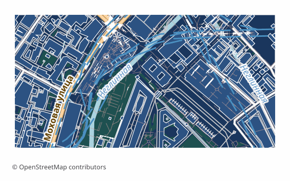
CDR
CorelDRAW CDR
CDR — a ready CorelDRAW file: download it and open it with a double click, no import step and no intermediate formats.
This page collects real OpenStreetMap map exports — one example for every format OSM2CDR supports. Each picture shows what you actually get: road, building, water and label layers in vector editors, CAD, GIS, 3D software and navigation apps.
Click a card to open the format page: what is inside the file, which software opens it and how to get it for your own city or plot.
For some formats you can download a real sample file as a ZIP — the same result a customer receives. All such archives are listed on the sample files page.
CDR
CorelDRAW CDR
CDR — a ready CorelDRAW file: download it and open it with a double click, no import step and no intermediate formats.

SVG
SVG (Scalable Vector Graphics)
SVG is an open vector format for web and print.
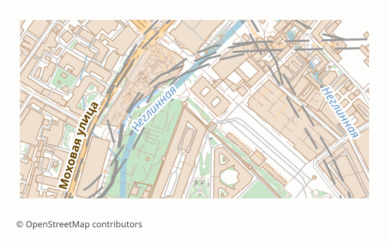
PDF (vector — Portable Document Format)
Vector PDF stores the map as geometry and keeps every detail at any zoom — ideal for printing and editing in CAD/Illustrator.

AI
Adobe Illustrator (AI)
AI is the working format of Adobe Illustrator, the industry-standard tool for vector graphics.
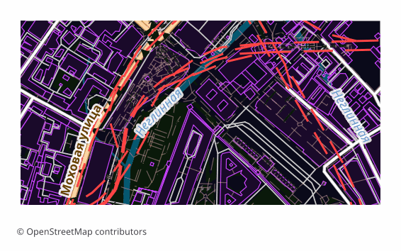
EPS
EPS (Encapsulated PostScript)
EPS is a vector format for printing and print production, based on PostScript.
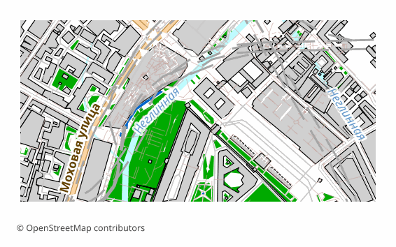
PostScript
PostScript (.ps)
PostScript (.ps) is a page-description language by Adobe, predecessor of PDF.
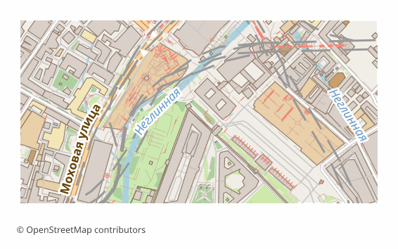
PSD
Adobe Photoshop PSD
PSD is the native Adobe Photoshop format with layer support.

PDF/X
PDF/X (ISO 15930, Print-Ready)
PDF/X (ISO 15930) is a subset of PDF for print production: fonts are embedded, the colour space is described by an output profile, scripts are forbidden, and trim and bleed frames…

PDF/A
PDF/A (ISO 19005, Archival)
PDF/A (ISO 19005) is an archival format for long-term storage.
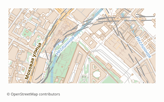
PDF (raster)
PDF (raster — Portable Document Format, rasterized)
Raster PDF bakes the map into an image inside a PDF that opens instantly in any browser or viewer without lag.
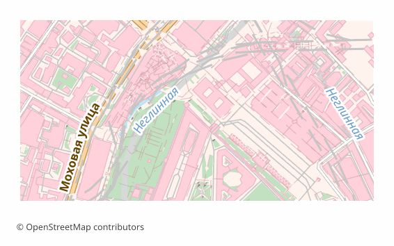
LaTeX/TikZ
LaTeX/TikZ (Academic Map)
Export OpenStreetMap map data as LaTeX/TikZ for academic publications.

Tactile SVG
Tactile SVG (Swell Paper)
Export OpenStreetMap map data as a tactile map for blind and visually impaired users.

EMF
EMF — Enhanced Windows Metafile
EMF (Enhanced Metafile) is Windows' 32-bit vector format, successor to WMF and the standard intermediate format for printing and pasting graphics into Microsoft Office.
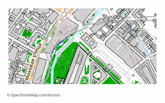
WMF
WMF — Windows Metafile (legacy)
WMF (Windows Metafile) is Windows' 16-bit vector format from 1990, still alive in the Office clipboard and in legacy documents.

SVGZ
SVGZ — Compressed SVG (gzip)
SVGZ is plain SVG compressed with gzip.

Inkscape SVG
Inkscape SVG — SVG with Named Layers
Inkscape SVG is a dialect of the W3C SVG standard extended with the inkscape:* and sodipodi:* namespaces for layers, guides, and editor metadata.

HTML5 Map
Interactive HTML5 Map (Leaflet, standalone)
Canvas-HTML is a self-contained interactive HTML5 file with a Leaflet.js map.

JEF
JEF — Janome Embroidery File
JEF is the native file format of Janome embroidery machines: a binary file with a 116-byte header (hoop size, thread colors, design bounds) followed by stitch data.

PES
PES — Brother / Babylock Embroidery File
PES is the de-facto standard of home and hobby embroidery: the native format of Brother machines and compatible Babylock and Bernina.

DWG
AutoCAD DWG
DWG is the native AutoCAD format and the standard for architectural and construction design.

DXF
AutoCAD DXF (Drawing Exchange Format)
DXF (Drawing Exchange Format) is the universal interchange format for CAD systems.
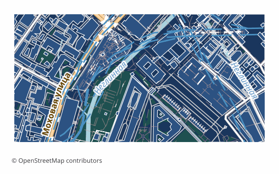
KOMPAS
KOMPAS (flat 2D DXF drawing)
A flat 2D DXF drawing of an OpenStreetMap base plan for the Russian CAD system KOMPAS — no volume: it opens in KOMPAS-Graphic or KOMPAS-3D as a drawing.
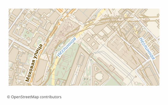
MIF
MapInfo MIF/MID
MIF/MID is the text-based interchange format for MapInfo Professional.

TAB
MapInfo TAB
TAB is the native format of MapInfo Professional.

G-code
G-code (Laser Engraving / CNC)
Export OpenStreetMap map data as G-code for laser engraving and CNC milling.

LandXML
LandXML — Surveying & Civil Engineering Data Exchange
LandXML is an open XML vocabulary from the Autodesk, Bentley, and Trimble consortium (1999) for exchanging civil engineering and surveying data between AutoCAD Civil 3D, Bentley…
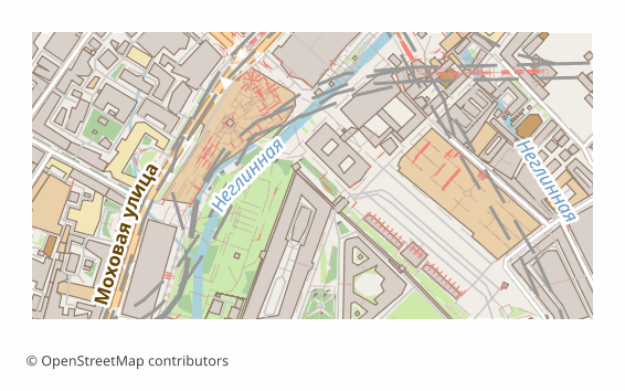
DGN
MicroStation DGN (Bentley CAD)
DGN is the native binary CAD format of Bentley MicroStation, alive since 1984 and dominant in large infrastructure: highways, railway corridors, plant process diagrams.
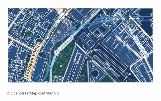
DWF
Autodesk DWF (Design Web Format)
DWF (Design Web Format) is an Autodesk format for publishing and viewing design data without editing.

HPGL
HPGL — Hewlett-Packard Graphics Language
HPGL is a text-based vector plotter control language created by Hewlett-Packard and publicly documented in 1984.

Shapefile
ESRI Shapefile (SHP)
Shapefile is the most popular format in geographic information systems (GIS).

GeoJSON
GeoJSON
GeoJSON is an open geodata format based on JSON.
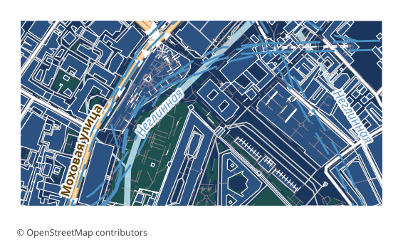
KML
KML (Keyhole Markup Language)
KML is the Google Earth format for geodata visualization on a virtual globe.
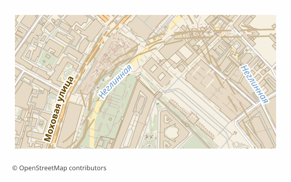
KMZ
KMZ (Compressed KML)
KMZ is the compressed version of KML for Google Earth.

GPX
GPX (GPS Exchange Format)
GPX is the standard format for navigation devices and GPS receivers.
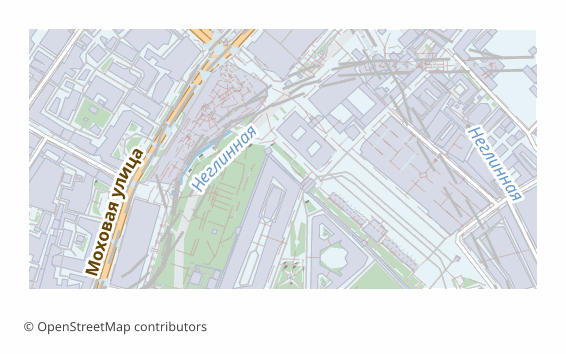
GeoPackage
GeoPackage (GPKG)
GeoPackage is a modern OGC format for storing geodata in a single SQLite-based file.

FlatGeobuf
FlatGeobuf (FGB)
FlatGeobuf is a high-performance binary format for geodata based on FlatBuffers.

GeoParquet
GeoParquet (Apache Parquet)
GeoParquet is a columnar geospatial format based on Apache Parquet.

SpatiaLite
SpatiaLite (SQLite + spatial)
SpatiaLite is a spatial extension for SQLite.

FileGDB
Esri File Geodatabase
FileGDB is Esri's format for storing complex geodata.

GeoJSON-Seq
GeoJSON Sequences (Newline-delimited)
GeoJSON-Seq is a line-delimited variant of GeoJSON where each line is a separate Feature.

QGIS Project (.qgz)
QGIS Native Project — Compressed (.qgz)
Native QGIS project in .qgz format — a compressed ZIP container with the project file, GeoPackage data, and QML styles.

QGIS Project (.qgs)
QGIS Native Project — XML (.qgs)
Native QGIS project in .qgs format — an XML project file alongside the GeoPackage data and QML styles.

IndoorGML
IndoorGML Indoor Spatial Data
IndoorGML is an OGC standard for describing the inside of buildings: room geometries, adjacency topology, and a navigation graph.

PNG
PNG (Portable Network Graphics)
PNG is a raster format with transparency support.

JPEG
JPEG (Joint Photographic Experts Group)
JPEG is a popular raster format with compression.

GeoTIFF
GeoTIFF (Georeferenced TIFF)
GeoTIFF is a raster format with embedded georeferencing.
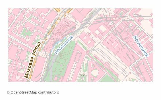
TIFF
TIFF (Tagged Image File Format)
TIFF is a high-quality raster format with lossless compression.

Hillshade
Hillshade (Shaded Relief, GeoTIFF)
Hillshade (shaded relief) is a raster image simulating the shadows of slopes.

Color Relief
Color Relief / Hypsometric Tint (GeoTIFF)
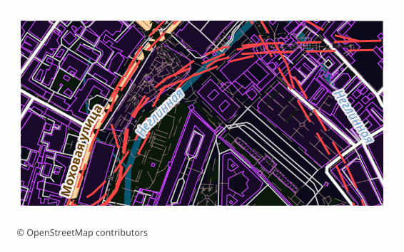
Color relief (hypsometric tint) colours terrain elevation, like a classic paper topo map: green lowlands, yellow-brown uplands, white peaks.
AVIF
AVIF — AV1 Image File Format
AVIF is a modern raster format built on a key frame of the AV1 video codec inside a HEIF container.

WebP
WebP — Google Web Image Format
WebP is Google's open raster format built on the VP8 video codec (lossy) and its VP8L extension (lossless).

JPEG XL
JPEG XL — Next-Generation Image Codec
JPEG XL (.jxl) is a raster successor to classic JPEG, standardised as ISO/IEC 18181 in 2022.

JPEG 2000
JPEG 2000 — Wavelet Image Compression
JPEG 2000 (.jp2) is the ISO/IEC 15444 international standard that uses a wavelet transform instead of the block DCT of ordinary JPEG.

CMYK TIFF
CMYK TIFF — Print-Ready Raster for Offset Printing
CMYK TIFF is a TIFF specialisation for the printing industry: the map is stored in the 4-channel Cyan-Magenta-Yellow-Key model instead of RGB, at 300 DPI with lossless LZW…

Satellite PNG
Satellite Imagery as PNG
This is a BARE photo from orbit: not one of our layers is on it — no buildings, no streets, no labels.

Satellite JPEG
Satellite Imagery as JPEG
This is a BARE photo from orbit: not one of our layers is on it — no buildings, no streets, no labels.

Satellite GeoTIFF
Satellite Imagery as Georeferenced GeoTIFF
This is a BARE photo from orbit: not one of our layers is on it — no buildings, no streets, no labels.

ASCII Grid
ESRI ASCII Grid (.asc)
ESRI ASCII Grid is the common text format for an ELEVATION GRID: a six-line header (NCOLS, NROWS, XLLCORNER, YLLCORNER, CELLSIZE, NODATA_VALUE) followed by space-separated numbers.

SRTM HGT
SRTM HGT Elevation Tile
HGT is NASA's native SRTM elevation format: a raw array of 16-bit signed big-endian integers, a strict 1°×1° tile (1201×1201 for SRTM3 or 3601×3601 for SRTM1), no header…

PMTiles
PMTiles
PMTiles is a serverless vector tile archive for web maps.

Map Tiles
Map Tiles (XYZ / Slippy Map)
Export map as a tile pyramid (PNG/JPEG) for web applications.

MBTiles
MBTiles (SQLite Tiles)
MBTiles is a format for storing map tiles in a single SQLite file.

Tiled TMX
Tiled TMX (Game Map)
Export OpenStreetMap map data as Tiled TMX for game development.

MVT
Mapbox Vector Tiles (MVT / .pbf)
MVT (Mapbox Vector Tiles) is an open specification for binary vector tiles built on Protocol Buffers, now the de-facto standard of web cartography.

GPKG Tiles
GeoPackage Tiles (OGC raster tiles in SQLite)
GeoPackage Tiles is the official OGC extension to the GeoPackage specification for storing raster tiles inside a single SQLite file.
STL
STL (3D Printing)
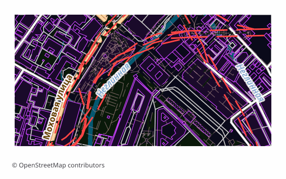
Export city buildings to STL format for 3D printing.

IFC
IFC (BIM)
Export buildings to IFC4 format for BIM software.

CityJSON
CityJSON (3D City Model)
Export buildings to CityJSON 2.0 for 3D city modeling.
FBX
FBX (Game Engines)
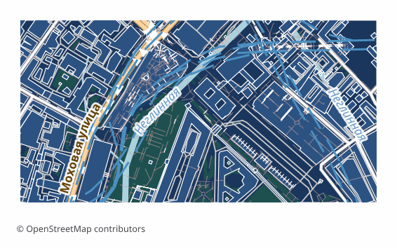
Export 3D buildings to FBX format for game engines.
COLLADA
COLLADA/DAE (3D Exchange)
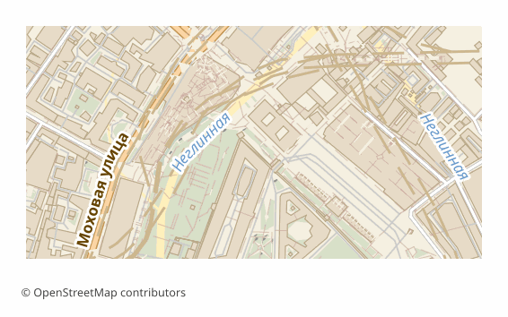
Export 3D buildings to COLLADA (.dae) format for 3D interchange.

3D Tiles
3D Tiles (Cesium)
Export buildings to OGC 3D Tiles for streaming visualization.

glTF
glTF (GL Transmission Format)
glTF is a modern open format for 3D scenes and models.
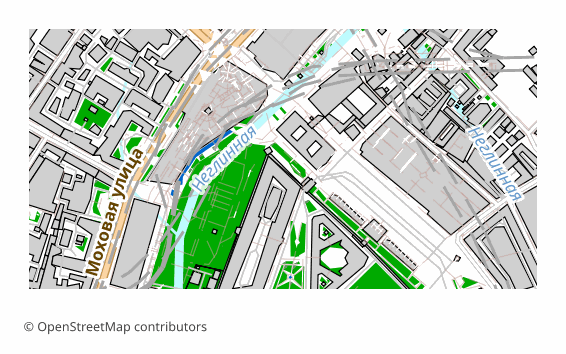
GLB
GLB (Binary glTF)
GLB is the binary variant of glTF format.

OBJ
Wavefront OBJ
OBJ is a classic 3D mesh format supported by all 3D software.
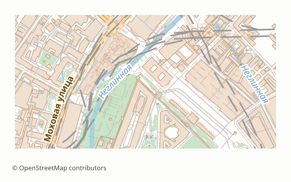
3MF
3MF (3D Manufacturing Format)
Export 3D buildings to 3MF -- the modern standard for 3D printing.

PLY
PLY (Stanford Polygon Format)
Export 3D buildings to PLY -- a simple format for point clouds and meshes.

CityGML
CityGML (OGC 3D City Model)
Export 3D buildings to CityGML -- the OGC standard for 3D city models.
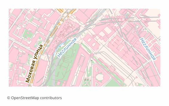
VRML
VRML (Virtual Reality Modeling Language)
Export 3D buildings to VRML 2.0 (.wrl) -- the classic virtual reality format.

X3D
X3D (Extensible 3D)
Export 3D buildings to X3D -- the ISO standard for interactive 3D graphics.
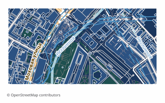
3DS
3DS (Autodesk 3ds Max)
Export 3D buildings to 3DS -- Autodesk 3ds Max legacy format.
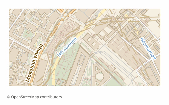
USD
USD/USDZ (Universal Scene Description)
Export 3D buildings to USD (Pixar) -- the industry standard for VFX and AR.

STEP
STEP (ISO 10303 CAD Exchange)
Export 3D buildings to STEP -- the ISO standard for CAD data exchange.
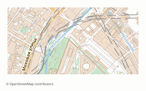
Alembic
Alembic (VFX Geometry Cache)
Export 3D buildings to Alembic (.abc) -- the industry standard for VFX and film.

3D Terrain
3D Terrain Mesh (STL/GLB/OBJ/PLY/glTF)
A 3D terrain model — a relief surface built from the global Copernicus GLO-30 DEM (30 m) and saved into a 3D format: STL for 3D printing, GLB/glTF for web and Three.js, OBJ for…

Minecraft .schem
Minecraft Schematic (Sponge v2)
Export OpenStreetMap map data as Minecraft .schem (Sponge Schematic v2).

Quantized Mesh
Cesium Quantized Mesh (.terrain)
Quantized Mesh is Cesium's binary terrain format for streaming 3D relief into a browser: a triangle mesh with vertices quantized to 16 bits and edge indices for seamless tile…

LAS
LAS — ASPRS Point Cloud (LiDAR format)
LAS is the binary ASPRS industry standard for point clouds that has underpinned LiDAR data exchange for two decades: each point carries XYZ, intensity, and a classification code…
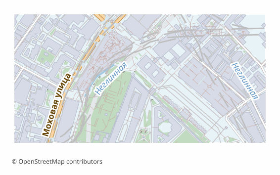
USDZ
USDZ — Apple AR Quick Look (based on Pixar USD)
USDZ is a container format for AR assets from Apple and Pixar (WWDC 2018): an uncompressed ZIP packaging a USD scene together with textures into a single file that an iPhone opens…

SketchUp
SketchUp-compatible export (COLLADA .dae)
SketchUp is the most popular rapid 3D-modeling tool for architecture, interiors, and urban massing studies, and its native .skp format is a proprietary binary with a closed…

Garmin IMG
Garmin IMG
Garmin IMG is the navigation map format for Garmin GPS devices (eTrex, Oregon, Drive).
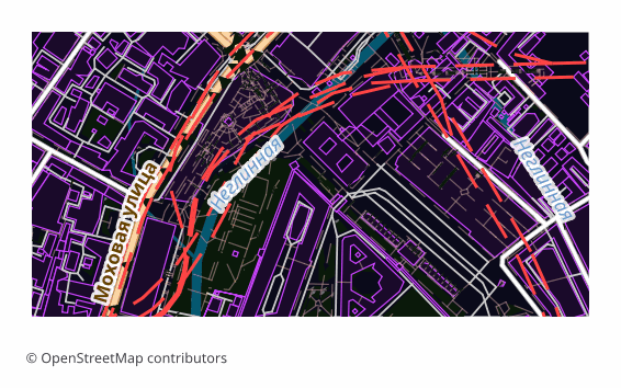
OsmAnd OBF
OsmAnd OBF
OsmAnd OBF is the offline map format for the OsmAnd mobile app (Android/iOS).

Garmin GPI
Garmin GPI (Points of Interest)
Garmin GPI is the points-of-interest database for Garmin devices: drop it on the unit or into BaseCamp and your points show up on the map.

TomTom OV2
TomTom OV2
TomTom OV2 is the POI format for TomTom navigation devices.

FIT
Garmin FIT Course (Flexible and Interoperable Data Transfer)
FIT is Garmin's binary fitness protocol that powers Forerunner watches, Edge bike computers, Fenix multisport devices, plus Wahoo, Polar and Bryton gear.

TCX
Garmin Training Center XML (TCX) Course
TCX (Training Center XML) is Garmin's XML training-data format that appeared around 2007 for the Garmin Training Center application.

Garmin JNX
Garmin BirdsEye JNX Raster Tiles
JNX is a binary raster-tile container Garmin created for its BirdsEye satellite imagery service, supported on Oregon, GPSMAP, Montana and etrex handhelds.

Garmin Custom Maps KMZ
Garmin Custom Maps KMZ (Tiled JPEG Overlay)
Garmin Custom Maps KMZ is the official (since 2010) way to load your own raster map onto Garmin Oregon, Colorado, Dakota, GPSMAP, Montana and etrex navigators without building a…

Locus Map
Locus Map SQLiteDB Offline Tiles
Locus Map is an Android navigator from Czech company Asamm Software, popular with hikers, mountain bikers and geocachers.

TomTom ITN
TomTom ITN Itinerary (Route Waypoints)
ITN is a simple text route format for TomTom GO, Start and Via navigators of the 2005–2015 era.

Cloud-Optimized GeoTIFF
Cloud-Optimized GeoTIFF
Cloud-Optimized GeoTIFF (COG) is a raster format for cloud streaming of tiles.

GeoArrow
GeoArrow (Apache Arrow)
GeoArrow is an Apache Arrow-based columnar format for geospatial data.

Zarr
Zarr (beta)
Zarr is a multi-dimensional array storage format for scientific data.
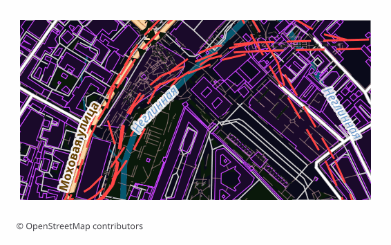
NetCDF
NetCDF (Network Common Data Form)
NetCDF is a self-describing binary format for scientific data and the de facto standard in climate science, oceanography, and satellite remote sensing (ERA5, CMIP6, MODIS).
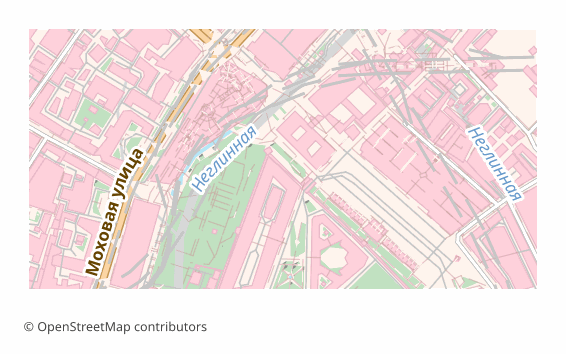
HDF5
HDF5 (Hierarchical Data Format v5)
HDF5 is a binary self-describing container for scientific data with a filesystem inside the file: groups (folders), datasets (arrays), attributes (metadata).
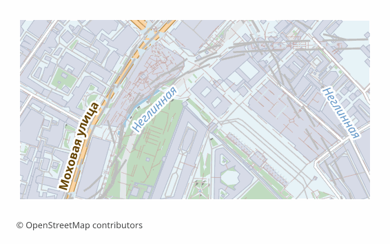
OpenDRIVE
OpenDRIVE (ASAM)
OpenDRIVE is the ASAM standard for road network description in autonomous driving.

SUMO
SUMO Network
SUMO (Simulation of Urban Mobility) is an open-source traffic simulator.

Lanelet2
Lanelet2 HD Map
Lanelet2 is an HD map format for autonomous driving.
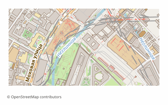
ROS Grid
ROS Occupancy Grid
Occupancy Grid is a map format for robots and autonomous navigation in ROS/ROS 2.

