TIFF (Tagged Image File Format)
Open BetaTIFF is een rasterformaat van hoge kwaliteit met lossless compressie. Ideaal voor professioneel drukwerk en archivering van kaarten. Ondersteunt hoge resolutie en CMYK-kleuren.
Belangrijkste functies
Welk programma opent TIFF-bestanden
De volgende programma's en toepassingen kunnen TIFF (Tagged Image File Format)-bestanden (.tiff) die uit OSM2CDR zijn geëxporteerd openen, bewerken en verwerken:
Format specifications
- Open standard
- 2D only
- Lossless (no quality loss)
- No attributes
- Output: 1 file
- TIFF 6.0 baseline (no georeferencing). For high-resolution print exports. Opens in Photoshop, GIMP, Lightroom.
Wie gebruikt TIFF-kaarten
TIFF exporteren
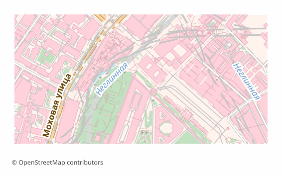
Populaire kaarten in TIFF
Ontvang TIFF (Tagged Image File Format)-kaartexports
Download professionele TIFF-kaarten van OpenStreetMap. Directe generatie, elk gebied.
Veelgestelde vragen
Verwante formaten
Vaak samen geëxporteerd
Related Articles
Maps for Academic Papers: Standards and Formats
How to prepare maps for dissertations: scale, legends, PDF/SVG format, fonts. Step-by-step guide with examples for acade
formatTIFF — Aldus and Adobe Extensible Raster Format for Print and Archival
TIFF is a tag-based raster format from Aldus (1986, Adobe 1994): TIFF 6.0 (1992), multi-page, lossless LZW/Deflate, BigT
tutorialMaps in Photoshop: Creating Art Posters from OpenStreetMap
How to create an art poster from an OSM map in Photoshop. PSD import with layers, color grading, effects, and A3/A2 prin