
ROS Occupancy Grid
Open BetaLa grille d'occupation est un format de carte pour les robots et la navigation autonome dans ROS/ROS 2. La carte se présente sous forme d'image raster (PGM) : chaque pixel est « libre », « occupé » ou « inconnu ». Utilisée pour le SLAM, la planification de trajectoire et Nav2.
Caractéristiques principales
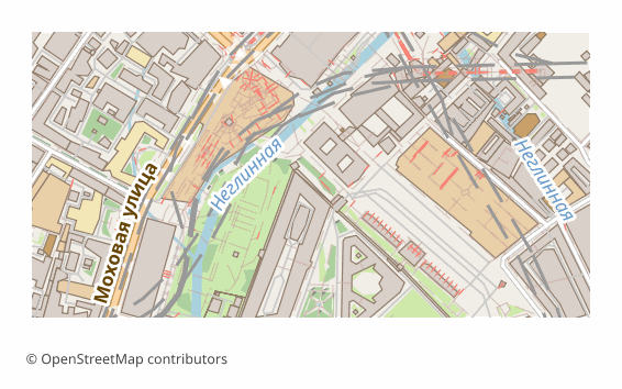
À propos du format ROS Grid
Une occupancy grid, c'est la façon dont un robot mobile voit le monde : le territoire est découpé en cellules carrées, chacune marquée « libre », « occupé » ou « inconnu ». Sous ROS et ROS 2, une telle carte est stockée dans deux fichiers — un raster .pgm et une description .yaml —, diffusée par map_server, et les planificateurs de Nav2 y tracent l'itinéraire.
D'ordinaire, le robot construit lui-même cette carte en parcourant le terrain avec un scanner. La carte issue d'OpenStreetMap sert là où le robot n'est pas encore passé : simuler une livraison dans un quartier, tester un planificateur sur un vrai réseau de rues et de cours, préparer une scène de simulation, donner au robot une première idée du secteur.
Ce qu'il y a dedans : un ZIP avec map.pgm (raster en noir et blanc) et map.yaml, qui porte la résolution, l'origine des coordonnées et les seuils d'occupation. Les bâtiments, l'eau et les obstacles en dur comme les murs et les clôtures deviennent des cellules occupées ; les routes, les trottoirs et les parcs, des cellules libres ; tout le reste demeure inconnu. La résolution est de 0,5 mètre par pixel par défaut et se règle à partir de 0,1 mètre ; le côté du raster est limité à 10 000 pixels, il faut donc prendre une résolution plus grossière pour un grand secteur.
Logiciels pour ouvrir les fichiers ROS Grid
Les programmes suivants peuvent ouvrir, modifier et traiter les fichiers ROS Occupancy Grid (.zip) exportés depuis OSM2CDR :
Caractéristiques du format
- Standard ouvert
- 2D uniquement
- Sans perte de qualité
- Sans attributs
- Sortie : 2 fichiers dans l'archive
- ROS occupancy grid map: .pgm raster + .yaml metadata (ZIP). For ROS / ROS 2 navigation stack (move_base, Nav2).
Qui utilise les cartes ROS Grid
Comment exporter en ROS Grid
Comment ouvrir après l’export
- ROS 1 — placez les deux fichiers côte à côte et lancez map_server avec le chemin vers map.yaml : la carte apparaît dans le topic /map et dans RViz.
- ROS 2 et Nav2 — le chemin vers map.yaml s'indique dans les paramètres de nav2_map_server, au sein du fichier de lancement ; la carte est ensuite utilisée telle quelle par le planificateur.
- RViz — Add → Map, topic /map : le moyen rapide de vérifier que les murs et les passages sont bien là et que l'échelle est correcte.
- Gazebo — la carte sert commodément de base de scène pour simuler un trajet avant de sortir sur le terrain réel.
- GIMP ou n'importe quel éditeur raster — le .pgm se retouche à la main : peignez en noir une zone fermée, en blanc un passage, et laissez le gris pour l'inconnu.
Cartes populaires en ROS Grid
Export de cartes en ROS Occupancy Grid
Téléchargez des cartes ROS Grid professionnelles depuis OpenStreetMap. Génération instantanée, n’importe quelle zone.