
KML (Keyhole Markup Language)
Open BetaKML is the Google Earth format for geodata visualization on a virtual globe. Suitable for presentations, educational projects, and client communications.
Key Features
About KML Format
KML is a language for describing geographic data, invented for Google Earth and later adopted as an OGC standard. The file is text: inside are placemarks, lines, outlines, their styles and labels. It opens with a double click in Google Earth and attaches in Google My Maps, QGIS and ArcGIS.
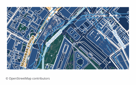
OpenStreetMap maps are exported to KML when the result has to be shown to another person: a client, colleagues, students. The features land on the globe, a click shows their properties, and the file itself can be sent by email — the recipient needs no GIS, Google Earth is enough.
In the file all the layers are laid out in folders named after the layers, each feature keeps its OSM tags in the ExtendedData block, and lines and fills get a color and a width. Coordinates are WGS84, as the specification requires. Roads, water and greenery lie on the ground surface, while buildings are extruded into volume: height is taken from the height tag, or computed from the floor count in building:levels at 3.5 meters per floor, and if neither is present the house gets six meters.
In Google Earth such an export looks like a three-dimensional city right away. If you do not need the volume, switch the buildings layer off in the tree on the left. For sending by email KMZ is handier — the same document in compressed form.
What Program Opens KML Files
The following programs and applications can open, edit, and work with KML (Keyhole Markup Language) (.kml) files exported from OSM2CDR:
Format specifications
- Open standard
- 3D coordinates supported
- Lossless (no quality loss)
- Stores feature attributes
- Output: 1 file
- KML 2.2 (OGC). Direct import in Google Earth, Google Maps, ArcGIS, QGIS. Altitude mode: clampToGround.
Who Uses KML Maps
How to Export KML
How to Open After Export
- Google Earth Pro (free) — File → Open, pick the .kml; on the left the layers will show as folders that can be switched on and off.
- Google My Maps — create a map, choose Import and upload the file: you get a web map with a link to share.
- QGIS (free) — Layer → Add Vector Layer; KML is read by the driver that ships with GDAL, and from there the data converts to a shapefile or GeoPackage.
- ArcGIS Pro — the KML To Layer tool turns the file into a geodata layer.
- Checking the volume — tilt the view in Google Earth: the buildings will appear as solid boxes above the surface.
Popular maps in KML
Get KML (Keyhole Markup Language) map exports
Download professional KML maps from OpenStreetMap. Instant generation, any area.
Frequently Asked Questions
Compare with Other Formats
Related Formats
Frequently Exported Together
Related Articles
How to load a route into a navigator and a watch: a GPX walkthrough
How to build a GPX route and load it into a navigator, a watch or a phone: track vs route vs waypoints, the GPX folder o
tutorialOSM maps for Navitel: how it actually works
OSM maps for Navitel: why OpenStreetMap data cannot be dropped into the app directly, where map files go (the NavitelCon
tutorialKML and KMZ to DWG: Moving a Google Earth File into AutoCAD
How to convert KML or KMZ into DWG and DXF without losing coordinates: unpacking KMZ, reprojecting to metres in QGIS or