Map of Surrey
Elevation of Surrey: 33 m · 109 ft
City · British Columbia · 517K · 365 km2
A ready-made vector map with buildings, roads and features — for CAD, GIS and print. Download after signing in.
Map passport
Open the area of Surrey in the constructor and change layers, style, format and coordinate system for your task.
Open in constructorMap defaults
This is how the map is built by default — every parameter can be changed in the constructor.
Download the map of Surrey in 128 formats
The same OpenStreetMap dataset — in the format for your software. Pick by task: CAD, vector, GIS, 3D or print.
Maps of British Columbia
Nearby cities and districts — every map is ready to download.

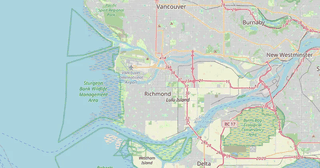
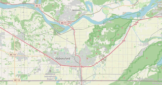

Neighbouring places and regions
Browse to neighbouring cities, districts and regions — each has a ready-made vector map in the same formats.
Nearby
Similar cities worldwide
Neighboring countries
About Surrey
Surrey features high building density: 338 buildings per km² — significantly above average for cities of this size. Green areas cover 39.2% of the territory — one of the best figures among major cities. An extensive public transport network (1,423 stops) provides high mobility.
What's inside the map of Surrey
The map covers the entire area of Surrey within administrative boundaries — 365 km2. Green areas cover 39.2% of the territory. Each layer can be turned on or off before download.
What the map of Surrey looks like
The same place in three render styles. Buildings, roads, water and greenery carry over into every format losslessly.
City analytics
📊 Open city analytics dashboard →Streets and roads
Roads classified by type — according to OpenStreetMap data.
The street network of Surrey — 3 783 km of roads according to OpenStreetMap data, classified by type.
Compared to neighbours
How the place compares to neighbours within a 30-kilometre radius.
16 places within a 30 km radius to compare.