OSM-kartta: hanki CDR (CorelDRAW) sen sijaan, että muuntaisit KML → CDR
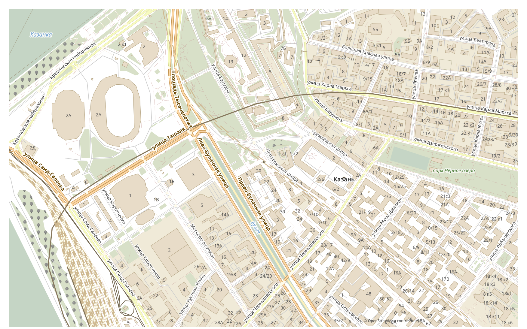
Haluatko muuntaa kartan KML-muodosta CDR-muotoon? Jos datasi tulee OpenStreetMapista, et tarvitse välivaiheen KML-tiedostoa: osm2cdr rakentaa kartan suoraan OSM-lähteestä ja antaa sinulle valmiin CDR, joka avautuu ohjelmassa CorelDRAW. Se on nopeampaa ja tarkempaa kuin ketju ”lataa KML → lataa muuntimeen → hanki CDR”: valitse alue kartalta, valitse CDR-muoto ja lataa tulos ajantasaisella OSM-datalla sekä rakennusten, teiden, vesistöjen ja kohteiden tasoilla.
Miten KML eroaa CDR-muodosta
| Muoto | Tunniste | Tyyppi | Käyttötarkoitus |
|---|---|---|---|
| KML | .kml | GIS | Viewing in Google Earth, geodata sharing, creating tourist routes, presentations |
| CDR | .cdr | CAD | Advertising maps, print production, outdoor signage, brochure design with maps, plotter cutting |
Miten saat CDR-muodon osm2cdr-palvelusta
- 1Valitse alue kartalta osm2cdr-palvelun etusivulla
- 2Valitse CDR-muoto ja tarvittaessa tyyli sekä koordinaattijärjestelmä
- 3Napsauta Vie ja lataa valmis CDR-tiedosto
CDR-muodon ominaisuudet
| Tunniste | .cdr |
| Tyyppi | CAD |
| Käyttötarkoitus | Advertising maps, print production, outdoor signage, brochure design with maps, plotter cutting |
Milloin tarvitset CDR-muotoa
CDR-muoto on kätevä, kun haluat avata tuloksen erikoisohjelmassa ja jatkaa kartan parissa: muokata, tulostaa, analysoida tai upottaa sen projektiin. osm2cdr toimittaa CDR-muodon tasoihin jaettuna ajantasaisella OpenStreetMap-datalla, joten tiedosto on käyttövalmis heti latauksen jälkeen.
Mikä muuttuu siirryttäessä KML → CDR
Siirryttäessä KML → CDR data muuttuu tyylitellyksi vektorigrafiikaksi: attribuutit ja taulut menetetään, mutta kohteet pysyvät muokattavina käyrinä ja tasoina, jotka soveltuvat tulostukseen ja suunnitteluun. osm2cdr rakentaa CDR-muodon suoraan OpenStreetMapin paikkatiedoista, ilman välivaiheen KML-tiedostoa.
Jos sinulla on oma KML-tiedosto (ei OSM:stä)
We do not convert third-party KML files into CDR: this output is closed for uploads. The KML file itself is accepted, though — KML → DXF, KML or GeoJSON are available through the upload form on those pair pages. For CDR the third-party route remains: GDAL/ogr2ogr or QGIS — open the KML and save the layer as CDR.
UKK: KML → CDR
Voinko ladata oman KML-tiedostoni?
Ei vielä: emme tällä hetkellä tue KML-tiedostojen lataamista, joten muunna tiedostosi CDR-muotoon ogr2ogr:lla tai QGIS:llä. Ja jos datasi tulee OpenStreetMapista, et tarvitse tiedostoa lainkaan — osm2cdr vie kartan suoraan CDR-muotoon.
Onko se ilmaista?
Kyllä, OpenStreetMap-kartan vienti CDR-muotoon osm2cdr-palvelussa on ilmaista. Valitse alue ja CDR-muoto ja lataa tulos.
Mitkä ohjelmat avaavat CDR-muodon?
CDR-muoto avautuu kategoriansa erikoisohjelmissa. Katso täydellinen luettelo ja lisätiedot CDR-muodon sivulta.
Miksi tämä on parempi kuin verkossa toimiva KML → CDR -muunnin?
Verkkomuunnin rajaa tuloksen laadun lähde-KML-tiedoston laatuun. osm2cdr ottaa datan OpenStreetMap-lähteestä ja rakentaa CDR-muodon oikeine tasoineen suoraan — ilman välivaiheen KML-tiedoston aiheuttamaa hävikkiä.