
Download Goa map in MBTiles format
A map built from OpenStreetMap data, ready to download
Customize the map
Open this place's area in the constructor and adjust everything to your needs
Open in constructor →Map passport
What this map contains by default
This is how the map is built as-is — every setting can be changed in the constructor.
About MBTiles
Map of Goa in MBTiles: 24 706 buildings, 8 452 km of roads, 6 791 points of interest, 59% green areas — in the WGS 84 coordinate system, units are meters.
Which layers are in the file
This file for the selected area contains:
- Roads
- Buildings
- Water
- Greenery
- Points of interest
What the file carries
The MBTiles file for Goa: layers are flattened into one picture: objects become pixels and cannot be selected separately, OpenStreetMap tags are not kept — geometry and styling remain.
File size
The expected size of the MBTiles file for Goa is about 32.6 MB; the exact size depends on the chosen layers and area.
MBTiles file passport
Estimated from the place's OSM data; exact figures are in the file after the build.
- Zoom levels: z8–z16, levels: 9
- Tiles per zoom: z8 2, z9 4, z10 12, z11 32, z12 112, z13 416, z14 1 581, z15 6 100, z16 24 079
- Tiles in total: 32 338; size ≈ 485 MB (estimated)
Losses: generalisation: on z8–z15 objects are simplified and small ones dropped; full detail only on z16; OSM tags — objects: 83 530 (curves and labels remain).
Build recipe: raster PNG tiles 256×256 px, Web Mercator (EPSG:3857), zooms z8–z16, XYZ scheme.
Coordinate systems
WGS 84 (EPSG:4326), selectable in the wizard
| Category | GIS |
| File extension | .mbtiles |
| Tier | Open Beta |
How many times MBTiles was built in the last 90 days
- Goa
- 0
- India
- 0
- Whole site
- 445
- Median file size
- 62.7 MB
- Median build time
- 62.4 s
Medians are based on all builds on the site
How to use MBTiles for Goa
- QGIS (free) — drag the .mbtiles into the program window or add it through the Browser panel: the layer will sit as a backdrop under your data.
- TileServer GL or mbview — run a local tile server over the file and get an address of the form /{z}/{x}/{y}.png for Leaflet, MapLibre and OpenLayers.
- mb-util — unpack the container into a plain folder tree z/x/y.png if your hosting can only serve static files: mb-util map.mbtiles tiles/.
Programs that open MBTiles
FAQ: MBTiles for Goa
Why MBTiles over individual tiles?
One file instead of thousands -- easier to copy, serve, and use offline.
Are these raster or vector tiles?
Raster: PNG images drawn in the chosen style. They carry no feature attributes and cannot be restyled on your side -- MBTiles Vector is the format for that.
Can I open in QGIS?
Yes, QGIS opens this file as a raster tile source -- a basemap under your own layers.
How is this different from PMTiles?
MBTiles is a SQLite file, better for local and offline use. PMTiles is read over HTTP range requests, better for the cloud, and its tiles are vector.
Which tiles are inside — raster or vector?
Raster: 256x256 PNG images rendered on the server in the chosen style. Vector tiles, which are styled on the client, are delivered by our MVT and PMTiles formats.
Other formats for Goa
All 128 formats for Goa →
MBTiles for nearby places


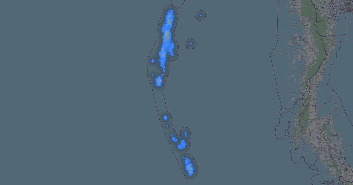


Maps other customers made in this format (MBTiles)
Lisy Nos
★★★★★
Относительно быстро и качественно собирает карты, самое приятно что бесплатно. удобно выбирать области — формат mbtiles, площадь ≈ 5028 км², слоёв 11
Severo-Yeniseysky
★★★★★
Kamianka
★★★★★