
Download Goa map in XYZ Tiles format
A map built from OpenStreetMap data, ready to download
Customize the map
Open this place's area in the constructor and adjust everything to your needs
Open in constructor →Map passport
What this map contains by default
This is how the map is built as-is — every setting can be changed in the constructor.
About XYZ Tiles
Map of Goa in XYZ Tiles — an export of real OpenStreetMap data for the selected area.
Export map as a tile pyramid (PNG/JPEG) for web applications. Z/X/Y structure compatible with Leaflet, OpenLayers, Mapbox GL, and any tile server.
Which layers are in the file
This file for the selected area contains:
- Roads
- Buildings
- Water
- Greenery
- Points of interest
XYZ Tiles file passport
Estimated from the place's OSM data; exact figures are in the file after the build.
- Zoom levels: z8–z16, levels: 9
- Tiles per zoom: z8 2, z9 4, z10 12, z11 32, z12 112, z13 416, z14 1 581, z15 6 100, z16 24 079
- Tiles in total: 32 338; size ≈ 485 MB (estimated)
Losses: generalisation: on z8–z15 objects are simplified and small ones dropped; full detail only on z16.
Build recipe: raster PNG tiles 256×256 px, Web Mercator (EPSG:3857), zooms z8–z16, XYZ scheme.
Coordinate systems
WGS 84 (EPSG:4326), selectable in the wizard
| Category | GIS |
| File extension | .png |
| Tier | Open Beta |
How many times XYZ Tiles was built in the last 90 days
- Goa
- 0
- India
- 0
- Whole site
- 78
- Median file size
- 36.9 MB
- Median build time
- 41.5 s
Medians are based on all builds on the site
How to use XYZ Tiles for Goa
- Any web server — unpack the archive into the site directory, and the path to the tiles comes out like /tiles/{z}/{x}/{y}.png.
- Leaflet — L.tileLayer('tiles/{z}/{x}/{y}.png', {minZoom: 10, maxZoom: 16}).addTo(map); take the bounds from metadata.json.
- OpenLayers and MapLibre — an XYZ source with the same template; in MapLibre that is a raster source with a tiles field and a tile size of 256.
Programs that open XYZ Tiles
FAQ: XYZ Tiles for Goa
What tile format?
PNG with transparency by default. JPEG is available for smaller file size.
What zoom levels?
Default zoom 10-16 (city). Configurable from 1 (world) to 19 (individual buildings).
How is this different from MBTiles?
Tiles are individual files in folders (Z/X/Y), MBTiles stores all tiles in a single SQLite file.
How many files will there be?
The number of tiles grows fourfold with every zoom. The range 10-16 over a city means thousands of pictures, while zooms 18-19 will give tens of thousands and a long generation. Pick the top zoom by the real task.
Which projection are the tiles in?
Web Mercator (EPSG:3857) — the slippy map standard, the same one OpenStreetMap and Google use. No additional configuration on the client side is required.
Other formats for Goa
All 128 formats for Goa →
XYZ Tiles for nearby places


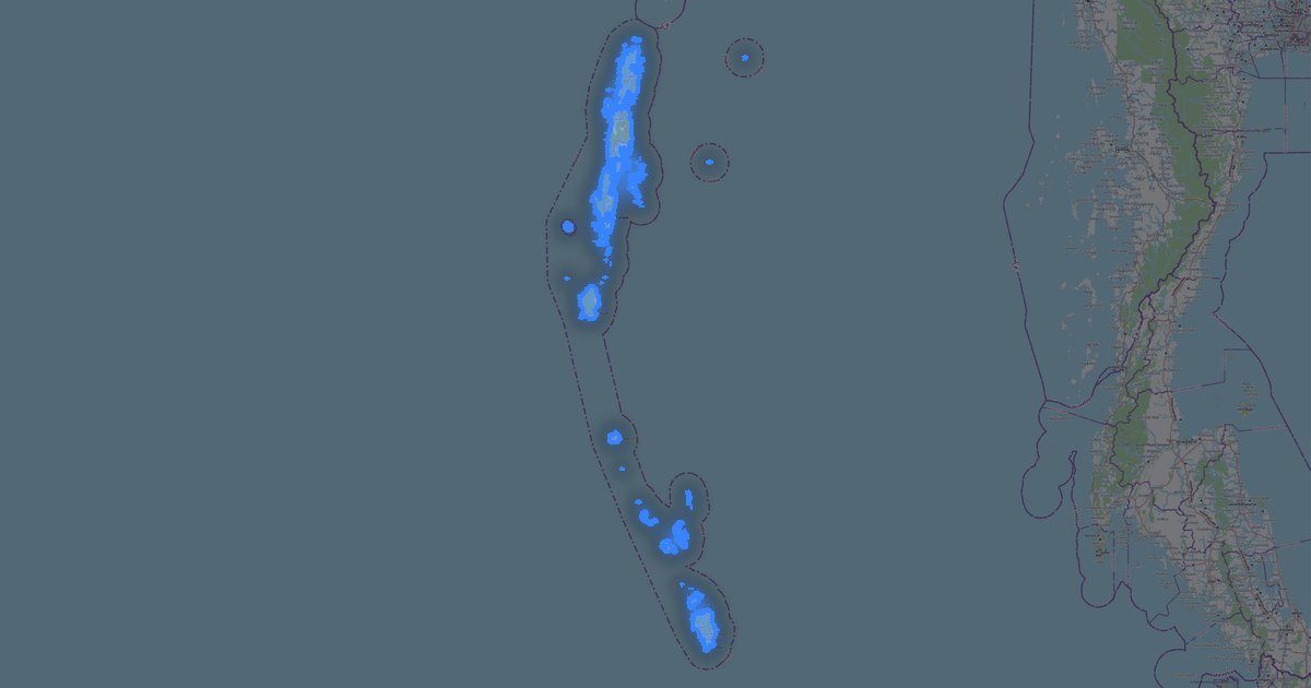


Maps other customers made in this format (XYZ Tiles)
Tis
★★★★★
that's easy and extremely useful. the best free tool. — format tiles, area ≈ 995 km², layers 15