PDF vs SVG — Which Map Format to Choose?
PDF is ideal for printing and sharing, SVG for the web and editing. Both are vector, but PDF fixes layout while SVG allows interactivity.
When to use PDF
For printing, documentation, email sharing, archiving.
When to use SVG
For websites, Inkscape editing, interactive maps.
What is PDF?
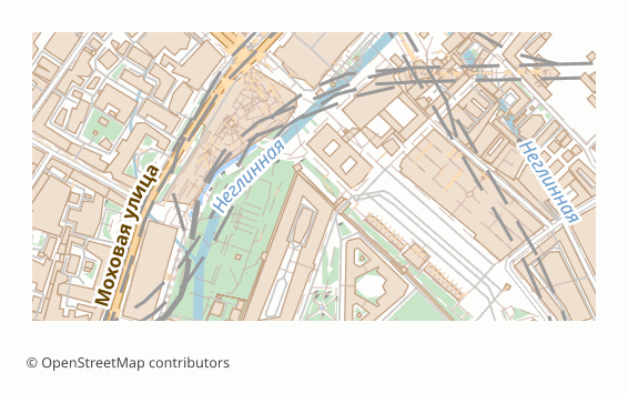
PDF was created by Adobe in 1993 and has been an open ISO standard (ISO 32000) since 2008. It describes finished pages — text, vector drawing and images placed exactly where they should appear — so a document looks the same on every screen and every printer.
A PDF is a set of numbered objects — pages, content streams, fonts, images — tied together by a cross-reference table. Page content is a sequence of drawing operators: move, line, curve, fill, show text. Vector graphics stay vector, fonts can be embedded, and optional content groups let viewers switch parts of a page on and off like layers.
Software that opens PDF
Every modern browser shows PDF without plugins, as do Adobe Acrobat Reader, macOS Preview and other PDF viewers. Adobe Illustrator, Inkscape, CorelDRAW and Affinity Designer open a vector PDF for editing.
Where PDF is strong
Nothing beats PDF for sharing and printing: the recipient needs no special software, the layout cannot shift, and print shops accept it as a matter of routine. A vector PDF keeps lines crisp at any zoom and on any sheet size.
Limitations of PDF
PDF is a final-output format. Editing is possible but clumsy, the original data structure is flattened into drawing operators, and a vector map of a very large or dense area can become heavy and slow in browser viewers — a raster PDF opens faster in that case.
What osm2cdr puts into a PDF file
osm2cdr builds the vector PDF through the QGIS print layout. Roads, buildings, water and other features are vector paths, each map layer becomes its own PDF layer that Acrobat and Illustrator can toggle, and labels stay real text with embedded fonts. Object names travel in a hidden catalogue, so Ctrl+F in a viewer jumps to a street on the map. The sheet is chosen at export, from A4 to A0, or sized automatically to the area.
What is SVG?

SVG (Scalable Vector Graphics) is an open standard of the World Wide Web Consortium (W3C), first published in 2001; SVG 1.1 is the version every tool supports. It describes two-dimensional graphics as text, so an image can be displayed by a browser, styled with CSS and changed with JavaScript.
The file is an XML document: shapes such as path, polyline, rect and text sit inside group elements, each with stroke, fill and transform attributes. Groups can carry names and IDs, which design tools present as layers. Coordinates are measured on the canvas defined by the viewBox attribute.
Software that opens SVG
All modern browsers display SVG directly. Inkscape uses it as its native format; Adobe Illustrator, Figma, Affinity Designer, Sketch and CorelDRAW import and export it, and laser-cutting and plotting software reads it as well.
Where SVG is strong
SVG scales without loss, stays light for line work and is both editable and web-ready. As text it can be versioned, searched and generated by code, and individual elements can react to clicks and hovers on a web page.
Limitations of SVG
Very dense maps produce huge element trees that slow down browsers and editors. Print-production features such as CMYK colour, spot colours and bleed boxes are missing, and editors interpret some features — fonts, filters, masks — slightly differently.
What osm2cdr puts into a SVG file
osm2cdr writes one UTF-8 SVG document in which roads, buildings, water and greenery are real vector outlines sorted into named groups, so selecting a group selects all the water or all the roads at once. A separate layer carries a catalogue of object names that can be searched and selected in the editor's object list without extra labels being drawn on the map.
Key differences explained
At the most basic level, PDF is a fixed-layout page description format, while SVG is an XML-based vector graphics format for the web. On disk, PDF is a binary container of page objects, compressed content streams and embedded fonts; SVG is plain UTF-8 XML text that compresses well.
Here is what the comparison table above means in practice, point by point:
- Printing. PDF has the advantage here; SVG does not offer it.
- Web display. This point goes to SVG — PDF falls short on it.
- Universal viewer. Only PDF covers it, so if it matters to you, SVG is not the right pick.
- Editing. SVG has the advantage here; PDF does not offer it.
- Interactivity. This point goes to SVG — PDF falls short on it.
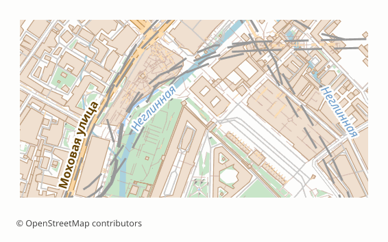
In short: choose PDF when the map has to be printed, emailed or archived and look identical on every device. Choose SVG when the map will be restyled in a design tool, cut on a laser or embedded in a web page.
PDF or SVG: which one fits your job?
You need a printed handout of a neighbourhood for a community meeting. A PDF goes straight to any office printer or copy shop at the chosen sheet size, and attendees can open the same file on their phones without installing anything.
You are designing a wall poster of your city and want to recolour the water, thicken the main roads and add your own lettering. SVG gives you named groups for roads, buildings, water and greenery in Inkscape, Figma or Illustrator, so restyling takes minutes rather than hours.
You are building a small website with an interactive district map where each building highlights on hover. SVG lives inside the page and can be scripted; a PDF would sit in a separate viewer and could not react to the visitor.
Pitfalls when switching between PDF and SVG
Converting a PDF to SVG often splits text into separate glyphs or outlines and turns layers into anonymous groups, so you lose exactly the structure that made SVG attractive. Going from SVG to PDF is safer, but CSS styling and scripts disappear, and fonts must be embedded or the printer will substitute them. Very dense areas are heavy in both formats; for a whole region a raster PDF is easier to open.
For laser cutting in particular, SVG wins: cutter software reads its paths directly, while a PDF usually has to be imported and cleaned of page frames first.
Which to pick on osm2cdr
On osm2cdr, choose PDF when the map is meant to be printed, shared or archived as it is. Choose SVG when the map is raw material for design work, laser cutting or the web. If you need both, export each one from the same area rather than converting one into the other.
How to get PDF or SVG from OpenStreetMap
osm2cdr builds PDF and SVG directly from OpenStreetMap data — there is no need to download raw OSM extracts or install conversion tools. The steps:
- Open the osm2cdr map for PDF and find your place by name, or draw a rectangle around the area.
- Choose PDF or SVG in the format list and set the options offered for it, such as map layers, style or sheet size.
- Start the export and download the result: PDF arrives as a .pdf file; SVG arrives as an .svg file in a ZIP together with its georeferencing files.
- Need SVG as well as PDF? Run a second export of the same area. Both start from the same OpenStreetMap data, but each keeps only what its format can hold, as described in the sections on PDF and SVG above.
Converter pages related to PDF and SVG explain each route in more detail:
Frequently asked questions
What is the main difference between PDF and SVG?
PDF is a fixed-layout page description format, whereas SVG is an XML-based vector graphics format for the web. In the comparison table, PDF is ahead on printing and universal viewer; SVG is ahead on web display, editing and interactivity.
Which is better for printing, PDF or SVG?
PDF. Nothing beats PDF for sharing and printing: the recipient needs no special software, the layout cannot shift, and print shops accept it as a matter of routine.
When does SVG beat PDF?
When web display, editing and interactivity matter most. SVG scales without loss, stays light for line work and is both editable and web-ready.
Can I convert PDF to SVG?
Yes. osm2cdr has a dedicated PDF to SVG converter page for existing files. If you are starting from OpenStreetMap, export the area straight to SVG instead.
Which programs open PDF and SVG files?
PDF files open in any web browser, Adobe Acrobat Reader, macOS Preview, Foxit and SumatraPDF. SVG files open in every web browser, Inkscape, Adobe Illustrator, Figma, Affinity Designer and CorelDRAW.
Do PDF and SVG keep real-world coordinates?
PDF pages are measured in points on paper; osm2cdr writes its vector PDF through the QGIS GeoPDF path with a layer per map layer, but most viewers simply treat it as a print sheet. SVG coordinates belong to its own canvas (the viewBox), not to the Earth; an osm2cdr order therefore delivers the SVG in a ZIP with georeferencing files, including a .prj, so GIS and CAD programs can place it.