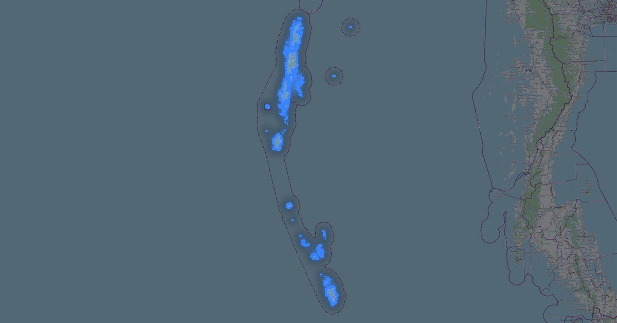
Map of Goa in DWF format
A map built from OpenStreetMap data, ready to download
Customize the map
Open this place's area in the constructor and adjust everything to your needs
Open in constructor →Map passport
What this map contains by default
This is how the map is built as-is — every setting can be changed in the constructor.

About DWF
Map of Goa in DWG: 24 706 buildings as closed polylines on dedicated layers, 8 452 km of roads classified by type, 6 791 points of interest, 59% green areas — in the WGS 84 coordinate system, ready to open in Autodesk Design Review, AutoCAD, Navisworks. Every feature type on its own layer, units are meters.
Which layers are in the file
This file for the selected area contains:
- Roads
- Buildings
- Water
- Greenery
- Points of interest
Geometry by layer
- Roads — polylines classified by road type
- Buildings — closed polylines on dedicated layers
- Water — closed polylines and shoreline polylines
- Greenery — closed polylines for area features
- Points of interest — points/blocks tagged by category
What the file carries
The DWF file for Goa: features are split into named layers, OpenStreetMap tags are not kept — geometry and styling remain.
File size
The expected size of the DWF file for Goa is about 12 MB; the exact size depends on the chosen layers and area.
Coordinate systems
WGS 84 (EPSG:4326), selectable in the wizard
Compatibility
Units
Meters (projected in the chosen coordinate system)
| Category | GIS |
| File extension | .dwf |
| Tier | Open Beta |
What's in the DWF map of Goa
24,706 buildings (1,205 residential, 411 commercial, 118 industrial, 370 religious), 8,452.0 km of roads, 6,791 points of interest, 15 landmarks.
The area covers 3,632 km², with about 7 buildings per km².
Mostly residential streets 3,707.4 km, unclassified roads 1,327.3 km, tertiary roads 1,148.6 km.
The map marks 5 parks and 10 water bodies.
Key amenities: hospitals — 134, clinics — 189, pharmacies — 154.
Public transport: 360 bus stops, 20 rail stations.
Main streets: Betim - Pomburpa - Aldona MDR, Hathkhamba-Goa Road, Betim Veren Saligao Road, St. Joquim Road, Mapusa-Duler-Camurlim Road
Landmarks: Ancestral Goa, Ashvek Vintage world- Car Museum, Big Foot Cross Museum, Fernandes Heritage Home, Goa Chitra museum
How to use DWF for Goa
- Select the Goa map area on the main page
- Choose DWF format and configure export settings
- Click Export and wait for processing
- Download the file and use in your application