
MicroStation DGN (Bentley CAD)
Preço antes do pagamentoDGN is the native binary CAD format of Bentley MicroStation, alive since 1984 and dominant in large infrastructure: highways, railway corridors, plant process diagrams. Our exporter writes DGN V7 (ISFF) through the GDAL/OGR DGN driver: OSM objects are distributed across levels 1-63, line, polygon and point geometry is converted into DGN elements, and the UOR scale is derived from the order's own coordinates, so the file carries real metres of the chosen system. DGN V7 cannot declare a coordinate system inside itself — the format has no field for one; if you picked a system explicitly the order arrives as a ZIP archive: map.dgn plus map.prj describing it. Without an explicit choice the output is unchanged — a single .dgn file. The file opens in MicroStation, the free Bentley View, QGIS, and AutoCAD via its built-in DGN translator.
Dados do OpenStreetMap de 5 de outubro de 2026 · há 22 dias
Principais características
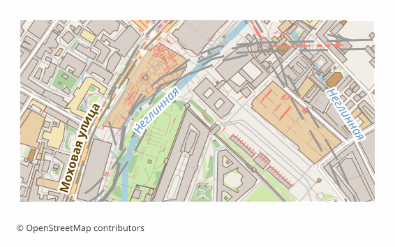
Todos os exemplos de mapas por formato
Que programa abre ficheiros DGN
Os seguintes programas e aplicações podem abrir, editar e trabalhar com ficheiros MicroStation DGN (Bentley CAD) (.dgn) exportados do OSM2CDR:
Características do formato
- Formato proprietário
- Apenas 2D
- Sem perda de qualidade
- Guarda os atributos dos objetos
- Resultado: 1 arquivo
Quem utiliza mapas DGN
Como exportar para DGN
Mapas populares em DGN
Obtenha exportações de mapas em MicroStation DGN (Bentley CAD)
Descarregue mapas profissionais em DGN a partir do OpenStreetMap. Geração instantânea, qualquer área.