
Ilocos Surの地図
地域 · Philippines · 709K · 4,271 km2
A ready-made vector map with buildings, roads and features — for CAD, GIS and print. Free, no registration.
地図パスポート
デフォルトの地図構成
これがデフォルトの地図構成です — 各パラメータはコンストラクターで変更できます。
Ilocos Surの地図を134形式でダウンロード
同じOpenStreetMapデータセットを、お使いのソフトに合った形式で。用途で選択:CAD、ベクター、GIS、3D、印刷。
Philippinesの地図
地域内のすべての場所 — どの地図もすぐにダウンロードできます。
地区 · 2


主要都市 · 48


都市 · 32


村落と集落 · 251







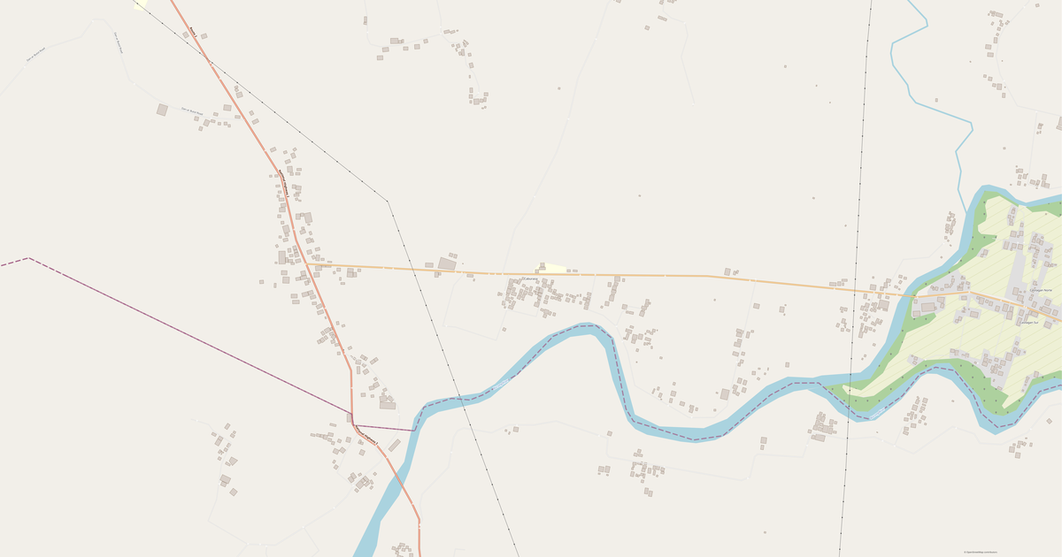


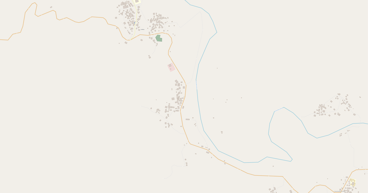


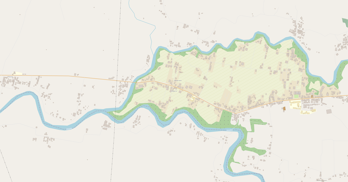










近隣の場所と地域
近隣の都市・地区・地域へ移動 — それぞれ同じ形式の完成済みベクター地図があります。
Philippinesの他の場所
類似する地域
Ilocos Surの地図に含まれるもの
この地図は行政界内のIlocos Sur全域 — 4,271 km2 — をカバーします. 緑地が地域全体の2.7%を占めます. 各レイヤーはダウンロード前にオン・オフできます.
Ilocos Surの地図の見え方
同じ場所を3つのレンダリングスタイルで。建物・道路・水域・緑地はどの形式にも劣化なく引き継がれます。
この場所の評価
OpenStreetMapデータによる複合指標:暮らしやすさ、徒歩のしやすさ、公共交通、緑の充実度。
Ilocos Surのインフラ
OpenStreetMapデータによる地域内の施設。
密度と充実度
1平方キロメートルあたりの地物数 — OpenStreetMapデータによる。
地図の活用方法
同じIlocos Surのデータセットを、製図から3Dプリントまでさまざまな用途に。
ランドマーク
OpenStreetMapデータによるIlocos Surの博物館・記念碑・名所 — それぞれ地図へのリンク付き。
自然と緑地
OpenStreetMapデータによるIlocos Surの公園・広場・水域 — すべて個別レイヤーとして地図に収録されます。
公共交通
OpenStreetMapデータによる停留所・駅。
Ilocos Surの公共交通には49か所のバス停があります。すべての停留所・駅は個別レイヤーとして地図に収録されます。
街路と道路
種別ごとに分類された道路 — OpenStreetMapデータによる。
Ilocos Surの街路網 — OpenStreetMapデータによる3 740 kmの道路を種別ごとに分類。
レストランとカフェ
OpenStreetMapデータによる飲食店。
Ilocos SurではOpenStreetMapに148件の飲食店 — レストラン、カフェ、バー、ファストフード — が記録されています。
店舗と小売
OpenStreetMapデータによる小売。
Ilocos SurではOpenStreetMapに550件の店舗・小売拠点が記録されています。 主なカテゴリ:コンビニ, 質屋, Motorcycle, 卸売, 雑貨店, ギフト。
教育
OpenStreetMapデータによる学校・大学・図書館。
学校: Tagudin National High School, Dagdag Elementary School, Pautan Primary School, St. Augustine School, Maranatha Christian Academy, Candon South Central School SPED Center, Santiago Institute, Saint Thomas Aquinas Learning Center of Vigan City. 大学: Saint Benedict College of Northern Luzon, STI College, Vox Humana Technological College Inc.. 図書館: Nagrebcan Library.
医療
OpenStreetMapデータによる病院・薬局・クリニック。
Ilocos Surの病院:Ilocos Sur Medical Center, Ilocos Sur Cooperative Medical Mission Group Hospital。
宿泊先
OpenStreetMapデータによるホテル・ホステル・ゲストハウス。
地図にあるもの
Ilocos Surの地図の各レイヤーはダウンロード前にオン・オフできます。
主要指標
Ilocos SurのOpenStreetMapデータに基づく概要。
Ilocos Surについて
.place-narrative{margin:2rem 0;padding:2rem;background:#f8fafc;border-radius:16px} .place-narrative h2{font-size:1.5rem;margin-bottom:1rem;color:#1e293b} .place-narrative__text p{font-size:1.1rem;line-height:1.7;color:#334155;max-width:72ch} .place-narrative__strengths{margin-top:1.5rem} .place-narrative__strengths h3{font-size:1.15rem;margin-bottom:.8rem;color:#1e293b} .place-narrative__strength-grid{display:grid;grid-template-columns:repeat(auto-fit,minmax(220px,1fr));gap:1rem} .place-narrative__strength{padding:1rem;background:#fff;border-radius:12px;border:1px solid #e2e8f0} .strength-score{font-size:1.5rem;font-weight:700;color:#10b981} .place-narrative__strength strong{display:block;margin:.4rem 0 .2rem;color:#1e293b} .place-narrative__strength p{font-size:.9rem;color:#64748b;margin:0} .place-narrative__facts{margin-top:1.5rem} .place-narrative__facts h3{font-size:1.15rem;margin-bottom:.8rem;color:#1e293b} .place-narrative__fact-grid{display:grid;grid-template-columns:repeat(auto-fit,minmax(260px,1fr));gap:1rem} .place-narrative__fact{display:flex;align-items:flex-start;gap:.75rem;padding:1rem;background:#fff;border-radius:12px;border:1px solid #e2e8f0} .fact-icon{font-size:1.5rem;flex-shrink:0} .place-narrative__fact p{font-size:.95rem;color:#334155;margin:0;line-height:1.5} @media(max-width:640px){.place-narrative__strength-grid,.place-narrative__fact-grid{grid-template-columns:1fr}} 分析ポートレート:Ilocos Sur Ilocos Surは4,270.9 km²にわたって広がるゆとりのある都市で、建物と開けた空間が交互に続きます。 緑地が占める割合はわずか2.7%で、都市化が大きく進んでいます。 強み 10/100 緑地被覆 緑地の被覆が不十分 9/100 接続性 道路網の接続性が乏しい 2/100 安全 安全インフラの改善が必要 興味深い事実 🛣️ Ilocos Surの道路総延長(3,740 km)は、道路3,740 kmに相当します。 🏗️ Ilocos Surでは住民1人あたり0.24棟の建物があります。 🌳 Ilocos Surの住民1人あたり378 m²の緑地があります。 🍽️ Ilocos Surには約114軒のレストラン・カフェがあり、住民1,000人あたり0.2軒となります。
近隣との比較
半径30キロメートル圏内の近隣とこの場所を比較。
半径30 km圏内に比較対象272 件。