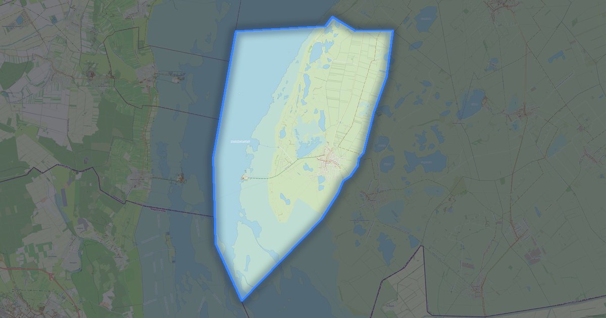
OslipのPostScript形式マップ
OpenStreetMap データから作成された地図、ダウンロード可能
地図をカスタマイズ
この場所のエリアをコンストラクターで開き、目的に合わせてすべてを調整できます
コンストラクターで開く →地図パスポート

PostScriptについて
Oslip の地図を PostScript 形式で: 1 072 件の建物, 40 km の道路, 87 件のポイント・オブ・インタレスト, 100% の緑地 — 座標系は WGS 84、単位はメートルです。
ファイルに含まれるレイヤー
選択したエリアのこのファイルには次が含まれます:
- 道路
- 建物
- 水域
- 緑地
- ポイント・オブ・インタレスト
レイヤーごとのジオメトリ
- 道路 — 道路の等級に応じた太さと色の線
- 建物 — 塗りつぶされた建物の輪郭
- 水域 — 塗りつぶされた面の輪郭と岸線
- 緑地 — 塗りつぶされた緑地の面の輪郭
- ポイント・オブ・インタレスト — アイコンとカテゴリのラベル
ファイルが運ぶもの
Oslip 用の PostScript ファイル: オブジェクトは名前付きレイヤーに分けられます, OpenStreetMap のタグは保持されません — ジオメトリと見た目が残ります。
ファイルの容量
Oslip 用の PostScript ファイルの予想容量は約 662 KB です。正確な容量は選択したレイヤーとエリアによって変わります。
座標系
WGS 84(EPSG:4326)、ウィザードで選択可能
互換性
単位
メートル(選択した座標系での投影)
| カテゴリ | GIS |
| ファイル拡張子 | .ps |
| レベル | Open Beta |
What's in the PostScript map of Oslip
1,072 buildings (39 residential, 5 commercial, 1 industrial, 2 religious), 39.6 km of roads, 87 points of interest, 9 landmarks.
The area covers 18 km², with about 60 buildings per km².
Mostly residential streets 11.8 km, secondary roads 9.6 km, unclassified roads 9.4 km.
The map marks 3 water bodies.
Key amenities: town halls — 1, banks — 1, restaurants — 3.
Public transport: 8 bus stops.
Main streets: Bundesstraße, Ödenburgerstraße, Eisenstädter Straße, Sachsenweg, Sportplatzgasse
Landmarks: Silberberg, ehemaliges Försterhaus "Stummer Jäger", Lourdeskapelle, Weißes Kreuz, Herz-Jesu-Kapelle
Oslip で PostScript を使う方法
- メインページで Oslip の地図エリアを選択します
- PostScript 形式を選んでエクスポート設定を調整します
- 「エクスポート」をクリックして処理が完了するのを待ちます
- 完成したファイルをダウンロードして目的のプログラムで使用します