OSM map: get Shapefile instead of converting DWG → Shapefile
Looking to turn a map from DWG into Shapefile? If your data comes from OpenStreetMap, you do not need an intermediate DWG file: osm2cdr builds the map straight from the OSM source and hands you a ready Shapefile. That is faster and more accurate than the chain "download DWG → upload to a converter → get Shapefile": you pick an area on the map, choose the Shapefile format and download the result with up-to-date OSM data and layers for buildings, roads, water and features.
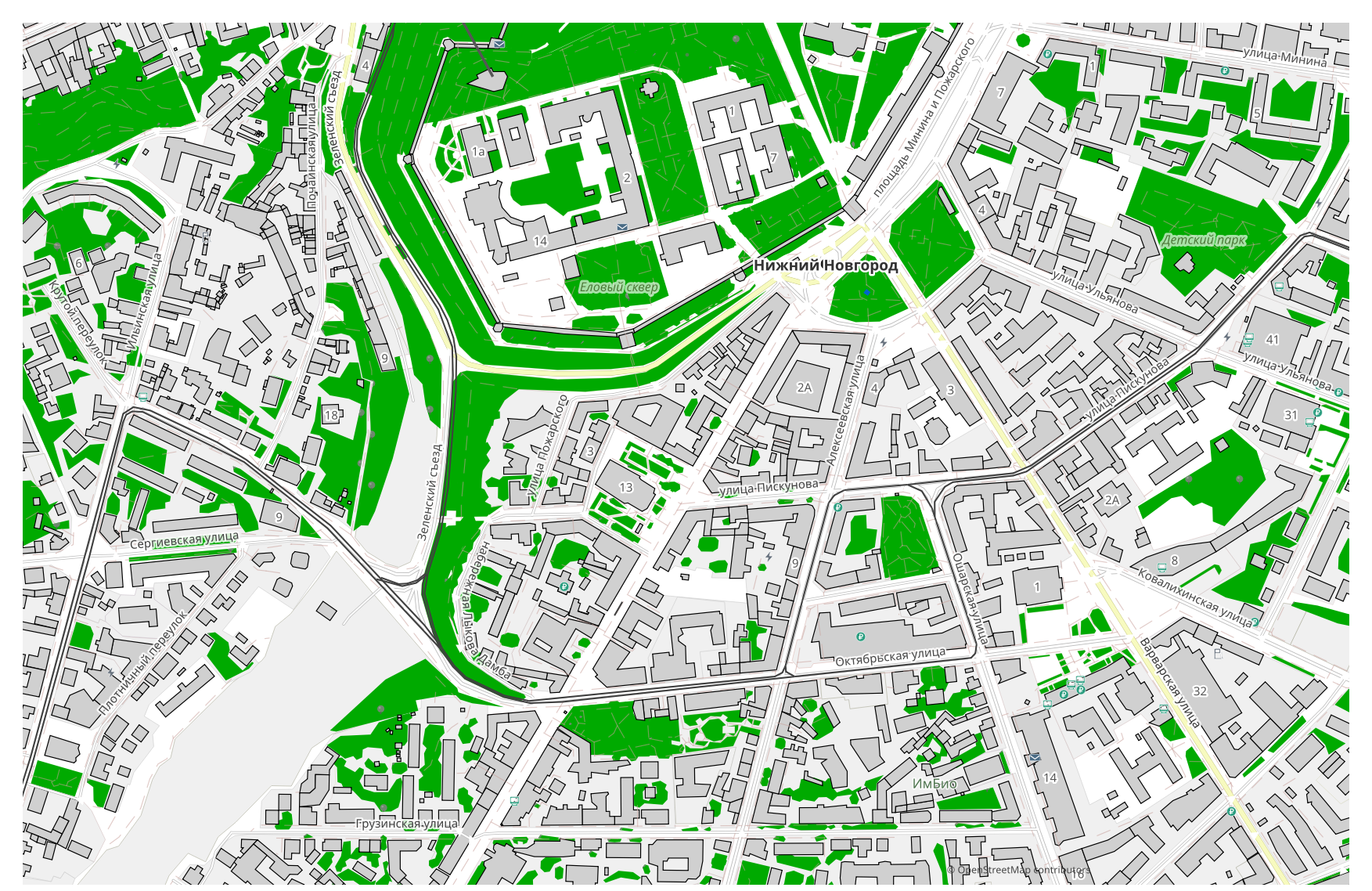
How DWG differs from Shapefile
| Format | Extension | Type | Purpose |
|---|---|---|---|
| DWG | .dwg | CAD | Architectural design, master plans, construction documentation, land surveying |
| Shapefile | .shp | GIS | ArcGIS, QGIS, spatial analysis, cartography |
How to get Shapefile on osm2cdr
- 1Select an area on the map on the osm2cdr home page
- 2Choose the Shapefile format and, if needed, a style and CRS
- 3Click Export and download the ready Shapefile file
Shapefile format properties
| Extension | .shp |
| Type | GIS |
| Purpose | ArcGIS, QGIS, spatial analysis, cartography |
When you need Shapefile
The Shapefile format is handy when you need to open the result in a dedicated program and keep working with the map: editing, printing, analysing or embedding it in a project. osm2cdr delivers Shapefile split into layers with up-to-date OpenStreetMap data, so the file is ready to use right after download.
What changes when going DWG → Shapefile
Going DWG → Shapefile, drawing layers become feature layers. The DWG format has no attribute schema, so geometry is carried over and an explicit projection is added — GIS cannot work without one. osm2cdr builds Shapefile straight from OpenStreetMap geodata, with ready attributes and a coordinate system, and no intermediate DWG file.
If you have your own DWG file (not from OSM)
osm2cdr does not accept or convert third-party DWG files: the service works only with OpenStreetMap data. If you already have your own DWG file that is not from OSM, convert it to Shapefile with third-party tools: GDAL/ogr2ogr from the command line or QGIS — open the DWG and save the layer as Shapefile. It is free and runs locally, with no cloud upload.
FAQ: DWG → Shapefile
Can I upload my DWG file?
Not yet: we don't support uploading DWG files at the moment, so convert your file to Shapefile with ogr2ogr or QGIS. And if your data comes from OpenStreetMap, you don't need a file at all — osm2cdr exports the map straight into Shapefile.
Is it free?
Yes, exporting an OpenStreetMap map to Shapefile on osm2cdr is free. Select an area, the Shapefile format and download the result.
Which programs open Shapefile?
The Shapefile format opens in dedicated programs for its category. See the Shapefile format page for the full list and details.
Why is this better than an online DWG → Shapefile converter?
An online converter caps the result quality at the quality of the source DWG file. osm2cdr takes data from the OpenStreetMap source and builds Shapefile with correct layers directly — with no loss on an intermediate DWG file.