OpenStreetMap to Shapefile converter
Upload your OpenStreetMap file and get Shapefile in a couple of minutes: osm2cdr reads the geometry of your file and hands you a ready Shapefile straight away. Processing runs on our servers, the result is ready to download as soon as it finishes, and files up to 50 MB are supported. And if you have no file of your own, or need a fresh map of an area, osm2cdr builds Shapefile straight from the OpenStreetMap map: you simply pick an area on the map, choose the Shapefile format and download the result with up-to-date OSM data — with layers for buildings, roads, water and features.
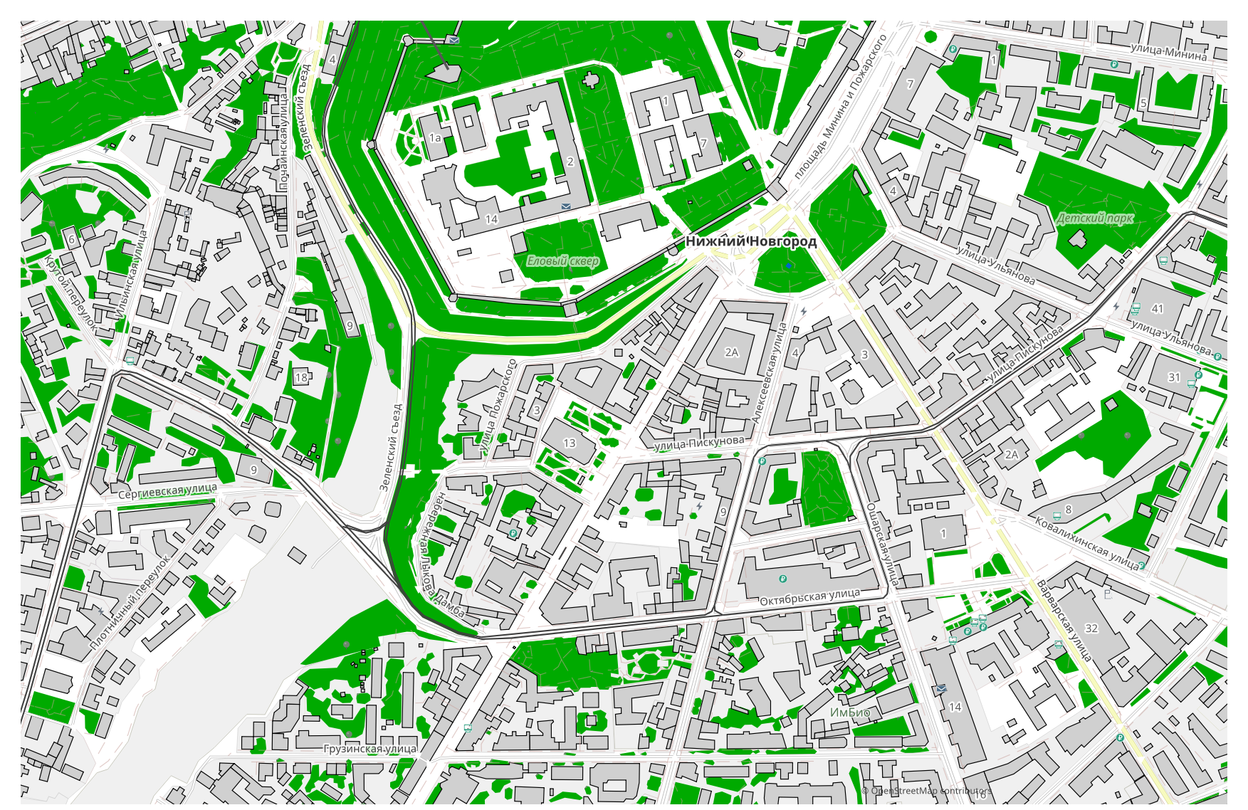
How OpenStreetMap differs from Shapefile
| Format | Extension | Type | Purpose |
|---|---|---|---|
| OpenStreetMap | .osm / .pbf | OSM geodata | Map source: roads, buildings, POI, boundaries |
| Shapefile | .shp | GIS | ArcGIS, QGIS, spatial analysis, cartography |
How to get Shapefile on osm2cdr
- 1Select an area on the map on the osm2cdr home page
- 2Choose the Shapefile format and, if needed, a style and CRS
- 3Click Export and download the ready Shapefile file
Shapefile format properties
| Extension | .shp |
| Type | GIS |
| Purpose | ArcGIS, QGIS, spatial analysis, cartography |
When you need Shapefile
The main scenario is simple: you already have a OpenStreetMap file — upload it and osm2cdr returns Shapefile, ready to use in a dedicated program (editing, printing, analysis, embedding in a project). The alternative is for when you have no file at hand or need a fresh map of an area: the same Shapefile is then built straight from up-to-date OpenStreetMap data for your chosen area, split into layers for buildings, roads, water and features.
What changes when going OpenStreetMap → Shapefile
Drop in a OpenStreetMap file and osm2cdr reads its geometry and returns Shapefile; and with no file of your own, the same Shapefile is built straight from the OpenStreetMap map for your chosen area. Either way the data model changes. The first source is tagged, connected OpenStreetMap geodata, and Shapefile is built from it directly, with no intermediate OpenStreetMap file. Shapefile keeps both geometry and feature attributes, split into layers (buildings, roads, water, POI) — the format is meant for further spatial analysis and GIS work.
Upload your OpenStreetMap extract → Shapefile
Upload your OpenStreetMap extract — an .osm or .pbf dump — in the form above and osm2cdr will convert it to Shapefile for you. Files up to 50 MB are supported. If your file is too large, or you just want a fresh map of an arbitrary area, you can skip the upload entirely: pick an area on the home page and download Shapefile with up-to-date OSM data right away.
FAQ: OpenStreetMap → Shapefile
Can I upload my OpenStreetMap file?
Yes, now you can: upload your OpenStreetMap file right on this page and osm2cdr will read the geometry and convert it to Shapefile. Files up to 50 MB are supported. If the data comes from OpenStreetMap, you can skip the upload entirely — we'll export the map straight into Shapefile.
Is it free?
Yes, exporting an OpenStreetMap map to Shapefile on osm2cdr is free. Select an area, the Shapefile format and download the result.
Which programs open Shapefile?
The Shapefile format opens in dedicated programs for its category. See the Shapefile format page for the full list and details.
Why is this better than an online OpenStreetMap → Shapefile converter?
An online converter caps the result quality at the quality of the source OpenStreetMap file. osm2cdr takes data from the OpenStreetMap source and builds Shapefile with correct layers directly — with no loss on an intermediate OpenStreetMap file.