KML ते Shapefile कन्व्हर्टर
तुमची KML फाइल अपलोड करा आणि काही मिनिटांत Shapefile मिळवा: osm2cdr तुमच्या फाइलची भूमिती वाचते आणि लगेच तुम्हाला एक तयार Shapefile देते. प्रक्रिया आमच्या सर्व्हरवर चालते, प्रक्रिया पूर्ण होताच निकाल डाउनलोडसाठी तयार होतो, आणि 50 MB पर्यंतच्या फाइलांना समर्थन आहे. आणि जर तुमच्याकडे स्वतःची फाइल नसेल, किंवा एखाद्या क्षेत्राचा ताजा नकाशा हवा असेल, तर osm2cdr Shapefile थेट OpenStreetMap नकाशावरून तयार करते: तुम्ही फक्त नकाशावर क्षेत्र निवडता, Shapefile फॉरमॅट निवडता आणि अद्ययावत OSM डेटासह निकाल डाउनलोड करता — इमारती, रस्ते, पाणी आणि फीचर्ससाठीच्या लेयरांसह.
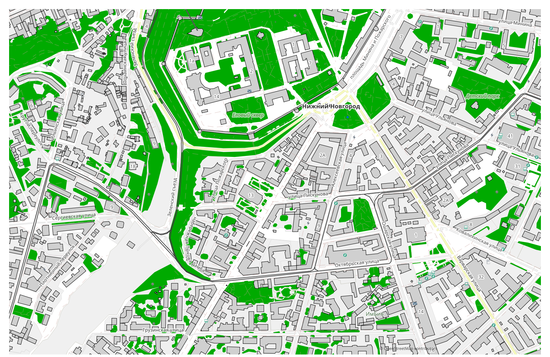
KML हे Shapefile पेक्षा कसे वेगळे आहे
| फॉरमॅट | विस्तार | प्रकार | उद्देश |
|---|---|---|---|
| KML | .kml | GIS | Viewing in Google Earth, geodata sharing, creating tourist routes, presentations |
| Shapefile | .shp | GIS | ArcGIS, QGIS, spatial analysis, cartography |
osm2cdr वर Shapefile कसे मिळवायचे
- 1osm2cdr मुख्यपृष्ठावरील नकाशावर एक क्षेत्र निवडा
- 2Shapefile फॉरमॅट निवडा आणि गरज असल्यास एक शैली व CRS निवडा
- 3Export वर क्लिक करा आणि तयार Shapefile फाइल डाउनलोड करा
Shapefile फॉरमॅटचे गुणधर्म
| विस्तार | .shp |
| प्रकार | GIS |
| उद्देश | ArcGIS, QGIS, spatial analysis, cartography |
तुम्हाला Shapefile कधी हवे असते
मुख्य परिस्थिती सोपी आहे: तुमच्याकडे आधीच एक KML फाइल आहे — ती अपलोड करा आणि osm2cdr Shapefile परत देते, एखाद्या समर्पित प्रोग्राममध्ये वापरण्यासाठी तयार (संपादन, छपाई, विश्लेषण, प्रकल्पात समाविष्ट करणे). पर्यायी मार्ग अशा वेळेसाठी आहे जेव्हा तुमच्याकडे फाइल नसते किंवा एखाद्या क्षेत्राचा ताजा नकाशा हवा असतो: तेव्हा तेच Shapefile तुम्ही निवडलेल्या क्षेत्रासाठी थेट अद्ययावत OpenStreetMap डेटावरून तयार होते, इमारती, रस्ते, पाणी आणि फीचर्ससाठीच्या लेयरांमध्ये विभागलेले.
KML → Shapefile जाताना काय बदलते
एखादी KML फाइल टाका आणि osm2cdr तिची भूमिती वाचून Shapefile परत देते; आणि तुमच्याकडे स्वतःची फाइल नसेल, तर तेच Shapefile तुम्ही निवडलेल्या क्षेत्रासाठी थेट OpenStreetMap नकाशावरून तयार होते. दोन्ही प्रकारे डेटा-मॉडेल बदलते.KML → Shapefile जाताना भूमिती आणि गुणधर्म दोन्ही जपले जातात; केवळ कंटेनर-मॉडेल बदलते — एकच फाइल विरुद्ध फाइलांचा संच, समर्थित फील्ड-प्रकार आणि फॉरमॅट-मर्यादा. असा बदल सहसा एखाद्या विशिष्ट साधनाशी सुसंगततेसाठी केला जातो. osm2cdr थेट OpenStreetMap डेटावरून Shapefile देते, कोणत्याही मधल्या KML फाइलशिवाय.
तुमची स्वतःची KML फाइल अपलोड करा → Shapefile
आता तृतीय-पक्ष कन्व्हर्टर शोधण्याची गरज नाही: वरील फॉर्ममध्ये तुमची KML फाइल टाका आणि osm2cdr तिची भूमिती वाचून तुम्हाला एक तयार Shapefile देईल. 50 MB पर्यंतच्या फाइलांना समर्थन आहे; प्रक्रिया आमच्या सर्व्हरवर चालते आणि प्रक्रिया पूर्ण होताच निकाल डाउनलोडसाठी तयार होतो.
वारंवार विचारले जाणारे प्रश्न: KML → Shapefile
मी माझी KML फाइल अपलोड करू शकतो का?
होय, आता तुम्ही करू शकता: तुमची KML फाइल याच पृष्ठावर अपलोड करा आणि osm2cdr तिची भूमिती वाचून ती Shapefile मध्ये रूपांतरित करेल. 50 MB पर्यंतच्या फाइलांना समर्थन आहे. जर डेटा OpenStreetMap मधून येत असेल, तर तुम्ही अपलोड पूर्णपणे वगळू शकता — आम्ही नकाशा थेट Shapefile मध्ये एक्सपोर्ट करू.
हे विनामूल्य आहे का?
होय, osm2cdr वर OpenStreetMap नकाशा Shapefile मध्ये एक्सपोर्ट करणे विनामूल्य आहे. क्षेत्र निवडा, Shapefile फॉरमॅट निवडा आणि निकाल डाउनलोड करा.
Shapefile कोणत्या प्रोग्राम्समध्ये उघडतो?
Shapefile फॉरमॅट त्याच्या श्रेणीसाठीच्या समर्पित प्रोग्राम्समध्ये उघडतो. संपूर्ण यादी व तपशीलांसाठी Shapefile फॉरमॅट पृष्ठ पाहा.
हे ऑनलाइन KML → Shapefile कन्व्हर्टरपेक्षा चांगले का आहे?
ऑनलाइन कन्व्हर्टर निकालाची गुणवत्ता मूळ KML फाइलच्या गुणवत्तेपर्यंतच मर्यादित ठेवतो. osm2cdr OpenStreetMap स्रोतावरून डेटा घेते आणि योग्य लेयरांसह थेट Shapefile तयार करते — मधल्या KML फाइलवर कोणतेही नुकसान न होता.