
GeoPackage (GPKG)
Open BetaGeoPackage 是一种现代 OGC 格式,将地理数据存储在单个基于 SQLite 的文件中。它取代了传统的 Shapefile,可在一个容器中同时支持矢量和栅格图层。
主要特点
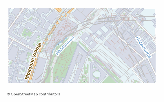
关于 GeoPackage 格式
GeoPackage is an OGC standard adopted in 2014. Under the hood it is an ordinary SQLite database in which layers, geometry and metadata are laid out by the standard's rules. A single .gpkg file can hold any number of vector layers, rasters, styles and tables without geometry.
It was devised as the replacement for the shapefile, and it cured all of its ailments: field names of any length, UTF-8 with no tricks, no set of companion files that must never be separated, and no two-gigabyte limit. Today GeoPackage is the default format in QGIS and the standard exchange unit in many organizations.
Each map layer becomes a separate table with its own OpenStreetMap attributes and a spatial index that is built automatically. Coordinates are WGS84 (EPSG:4326). All of it in one file: convenient to send, to put in the cloud or to take with you into the field.
You can also work with it as a database: a .gpkg opens in any SQLite client, and ordinary SQL queries apply to the layers.
打开 GeoPackage 文件的程序
以下程序可以打开、编辑和处理从 OSM2CDR 导出的 GeoPackage (GPKG)(.gpkg)文件:
格式规格
- 开放标准
- 支持 3D 坐标
- 无损(无质量损失)
- 存储要素属性
- 输出:1 个文件
- OGC GeoPackage (SQLite). Single .gpkg file contains all layers. Direct import in QGIS 3.x, ArcGIS Pro, GDAL/OGR.
谁在使用 GeoPackage 地图
如何导出 GeoPackage
导出后如何打开
- QGIS (free) — drag the .gpkg into the program window; a list of layers appears, tick the ones you need. Edits are saved right into that same file.
- ArcGIS Pro — Add Data, choose the .gpkg: the feature classes connect as if from a geodatabase.
- ogr2ogr — ogrinfo -so map.gpkg shows the list of layers, and ogr2ogr -f PostgreSQL PG:"..." map.gpkg loads them all into PostGIS in one command.
- Python — geopandas.read_file("map.gpkg", layer="roads"); the list of layers comes from fiona.listlayers.
- Field apps — QField, Mergin Maps and the like take a .gpkg as an offline source: one file on the phone, and the map works with no network.
GeoPackage 格式的热门地图
导出 GeoPackage (GPKG) 地图
从 OpenStreetMap 下载专业的 GeoPackage 地图。即时生成,任意区域。
常见问题
与其他格式比较
GeoPackage 格式互转
GeoPackage 指南
相关格式
经常一起导出
Related Articles
How to download a map from OpenStreetMap: all the ways
All working ways to download a map from OpenStreetMap: export from osm.org, the Overpass API, Geofabrik and planet.osm,
tutorialQGIS can't find the multipolygons layer in OSM: cause and 2-minute fix
Opened an .osm or .pbf in QGIS but the multipolygons layer is missing? Here are the causes and the fastest fix — build t
formatHow to open MIF/MID (MapInfo) and GML — or download the map in a familiar format
Got .mif/.mid or .gml files and not sure how to open them? QGIS and GDAL read them for free. And if the format is inconv