
GeoPackage (GPKG)
Open BetaGeoPackage는 SQLite 기반의 단일 파일에 지오데이터를 저장하기 위한 최신 OGC 형식입니다. 레거시 Shapefile을 대체하며, 하나의 컨테이너에서 벡터 및 래스터 레이어를 지원합니다.
주요 기능
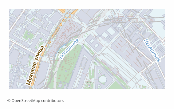
GeoPackage 형식 소개
GeoPackage is an OGC standard adopted in 2014. Under the hood it is an ordinary SQLite database in which layers, geometry and metadata are laid out by the standard's rules. A single .gpkg file can hold any number of vector layers, rasters, styles and tables without geometry.
It was devised as the replacement for the shapefile, and it cured all of its ailments: field names of any length, UTF-8 with no tricks, no set of companion files that must never be separated, and no two-gigabyte limit. Today GeoPackage is the default format in QGIS and the standard exchange unit in many organizations.
Each map layer becomes a separate table with its own OpenStreetMap attributes and a spatial index that is built automatically. Coordinates are WGS84 (EPSG:4326). All of it in one file: convenient to send, to put in the cloud or to take with you into the field.
You can also work with it as a database: a .gpkg opens in any SQLite client, and ordinary SQL queries apply to the layers.
GeoPackage 파일을 여는 프로그램
다음 프로그램과 애플리케이션으로 OSM2CDR에서 내보낸 GeoPackage (GPKG)(.gpkg) 파일을 열고 편집하고 작업할 수 있습니다:
Format specifications
- Open standard
- 3D coordinates supported
- Lossless (no quality loss)
- Stores feature attributes
- Output: 1 file
- OGC GeoPackage (SQLite). Single .gpkg file contains all layers. Direct import in QGIS 3.x, ArcGIS Pro, GDAL/OGR.
GeoPackage 지도 사용자
GeoPackage 내보내기 방법
내보낸 뒤 여는 방법
- QGIS (free) — drag the .gpkg into the program window; a list of layers appears, tick the ones you need. Edits are saved right into that same file.
- ArcGIS Pro — Add Data, choose the .gpkg: the feature classes connect as if from a geodatabase.
- ogr2ogr — ogrinfo -so map.gpkg shows the list of layers, and ogr2ogr -f PostgreSQL PG:"..." map.gpkg loads them all into PostGIS in one command.
- Python — geopandas.read_file("map.gpkg", layer="roads"); the list of layers comes from fiona.listlayers.
- Field apps — QField, Mergin Maps and the like take a .gpkg as an offline source: one file on the phone, and the map works with no network.
GeoPackage 형식의 인기 지도
GeoPackage (GPKG) 지도 내보내기 받기
OpenStreetMap에서 전문가용 GeoPackage 지도를 다운로드하세요. 즉시 생성, 모든 영역 지원.
자주 묻는 질문
다른 형식과 비교
관련 형식
함께 자주 내보내는 형식
Related Articles
How to download a map from OpenStreetMap: all the ways
All working ways to download a map from OpenStreetMap: export from osm.org, the Overpass API, Geofabrik and planet.osm,
tutorialQGIS can't find the multipolygons layer in OSM: cause and 2-minute fix
Opened an .osm or .pbf in QGIS but the multipolygons layer is missing? Here are the causes and the fastest fix — build t
formatHow to open MIF/MID (MapInfo) and GML — or download the map in a familiar format
Got .mif/.mid or .gml files and not sure how to open them? QGIS and GDAL read them for free. And if the format is inconv