
MicroStation DGN (Bentley CAD)
Open BetaDGN is the native binary CAD format of Bentley MicroStation, alive since 1984 and dominant in large infrastructure: highways, railway corridors, plant process diagrams. Our exporter writes DGN V7 (ISFF) through the GDAL/OGR DGN driver: OSM objects are distributed across levels 1-63, line, polygon and point geometry is converted into DGN elements, and the UOR scale is derived from the order's own coordinates, so the file carries real metres of the chosen system. DGN V7 cannot declare a coordinate system inside itself — the format has no field for one; if you picked a system explicitly the order arrives as a ZIP archive: map.dgn plus map.prj describing it. Without an explicit choice the output is unchanged — a single .dgn file. The file opens in MicroStation, the free Bentley View, QGIS, and AutoCAD via its built-in DGN translator.
Sleutelkenmerke
Oor die DGN-formaat
DGN is the native format of Bentley MicroStation, alive since 1984. Where AutoCAD took architecture, MicroStation settled in large infrastructure: highways, railway corridors, bridges, industrial sites. If a project is run in OpenRoads or OpenRail, the base plan has to arrive in DGN as well — otherwise it turns into an alien import.
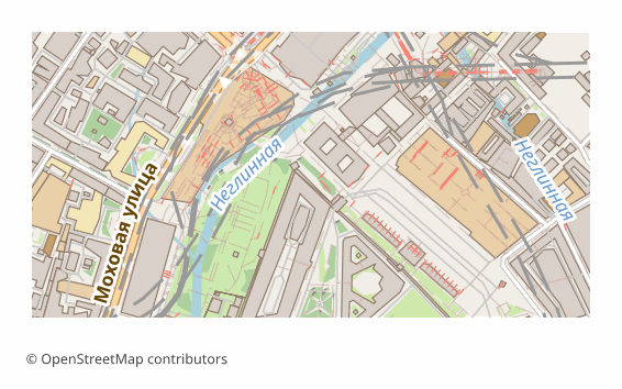
An OSM map is exported for context: the streets, buildings, water and greenery around the design site. That saves the preliminary survey stage at the concept phase and gives the contractor a clear tie to the terrain.
The output is a single .dgn file in version V7 (ISFF), written by our own code without third-party SDKs. OSM layers are laid out across DGN levels from the first to the sixty-third, lines, polygons and points become native drawing elements, and the coordinates are converted into UOR units and centered on the map extent. Long lines are automatically cut into segments, because the format limits the number of vertices in a single element.
There are no text labels and no Bentley-specific objects in the file — this is geometry for a base plan, not a finished drawing with a specification.
Watter program open DGN-lêers
Die volgende programme en toepassings kan MicroStation DGN (Bentley CAD) (.dgn)-lêers wat uit OSM2CDR uitgevoer is, open, redigeer en daarmee werk:
Format specifications
- Proprietary format
- 2D only
- Lossless (no quality loss)
- Stores feature attributes
- Output: 1 file
- A Bentley DGN V7 (ISFF) file written by the GDAL/OGR DGN driver: OSM layers map onto levels 1-63, the UOR scale is derived from the order coordinates. DGN V7 stores no CRS, so an explicitly chosen system ships as map.prj beside the drawing in a ZIP.
Wie gebruik DGN-kaarte
Hoe om DGN uit te voer
Hoe om dit ná uitvoer te open
- MicroStation — open the file directly; to make the map a true base plan, attach it through References (an external reference) rather than inserting it into the active model.
- Bentley View (free) — the official viewer: open, look through the levels, measure distances, print.
- AutoCAD — the DGNIMPORT command brings the geometry into the drawing, DGNATTACH attaches the file as an external reference without importing.
- QGIS — reads V7 through the OGR_DGN driver, if the map has to be checked against other GIS layers.
- If you need version V8 — open the file in MicroStation and re-save it, or convert it with the free ODA File Converter.
Gewilde kaarte in DGN
Kry MicroStation DGN (Bentley CAD)-kaartuitvoere
Laai professionele DGN-kaarte van OpenStreetMap af. Onmiddellike generering, enige gebied.
Gereelde vrae
Verwante formate
Dikwels saam uitgevoer
Related Articles
MicroStation DGN — Bentley's native format for AEC and infrastructure
Deep guide to Bentley's MicroStation — the AutoCAD competitor for AEC, rail, roads. V7 → V8 history, ecosystem, OpenRoad
formatDGN (MicroStation Design) format: Bentley CAD 1984 — OSM export to DGN V8
DGN from Bentley MicroStation 1984: V7 vs V8 spec, ODA Teigha, AEC infrastructure pipeline, OSM object export to DGN.