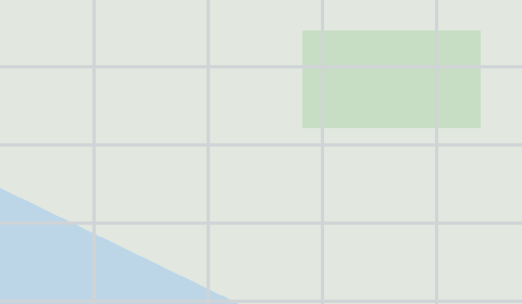
Map of Akadameri in USD format
A map built from OpenStreetMap data, ready to download
Customize the map
Open this place's area in the constructor and adjust everything to your needs
Open in constructor →Map passport
Area2.0 km²
Roads51 km
What this map contains by default
This is how the map is built as-is — every setting can be changed in the constructor.

About USD
Map of Akadameri in USD — an export of real OpenStreetMap data for the selected area.
USD (Universal Scene Description) is Pixar's format for composite 3D scenes. Supports layers, variants, and non-destructive editing.
Which layers are in the file
This file for the selected area contains:
- Roads
- Water
Coordinate systems
WGS 84 (EPSG:4326), selectable in the wizard
Compatibility
BlenderHoudiniMayaUnreal EngineNVIDIA OmniverseSolaris
Units
Meters (projected in the chosen coordinate system)
| Category | 3D |
| File extension | .usda |
| Tier | Free |
What's in the USD map of Akadameri
51.0 km of roads.
The area covers 2.0 km².
Mostly secondary roads 41.5 km, unclassified roads 9.5 km.
The map marks 1 water bodies.
Main streets: Chegere Road
How to use USD for Akadameri
- Select the Akadameri map area on the main page
- Choose USD format and configure export settings
- Click Export and wait for processing
- Download the file and use in your application
Programs that open USD
BlenderHoudiniMayaUnreal EngineNVIDIA OmniverseSolaris