osm2cdr.com
Ready map · OSM data

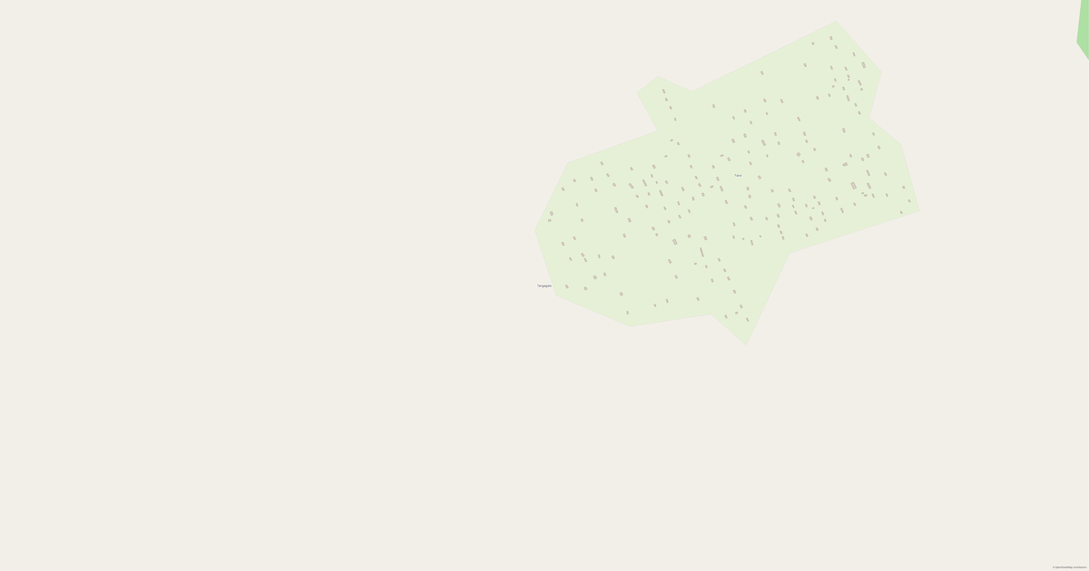
Map of Kanem

Region · Chad · 354K · 67,690 km2

A ready-made vector map with buildings, roads and features — for CAD, GIS and print. Free, no registration.

Choose a format
Download · PDF, ≈ 451 KB
All 140 formats Customize your area
133 formatsOSM datano registrationfree
N
© OpenStreetMap
Boundary · Kanem · OpenStreetMap
BuildingsRoadsWaterGreeneryBoundary

Map passport

67,690 km2
Area
6 833
Buildings
3 330 km
Roads
90
Points of interest
Typeregion
Population354K
Coordinates15.13° N, 15.26° E
Elevation≈344 m
OSM data2026-09-01
Customize the map for yourself

Open the area of Kanem in the constructor and change layers, style, format and coordinate system for your task.

Open in constructor

Map defaults

This is how the map is built by default — every parameter can be changed in the constructor.

Format
PDF choose
Layers
Roads, Buildings, Water, Greenery, POIchange
Style
Standard (colour)change
Detail
overview (auto)change
House numbers
not visible at this scalechange
Points of interest
not visible at this scalechange
Coordinate system
WGS 84 (auto)change
Sheet size
Relief and grid

Download the map of Kanem in 140 formats

The same OpenStreetMap dataset — in the format for your software. Pick by task: CAD, vector, GIS, 3D or print.

Popular formatsthe most common formats
MOST COMMON
PDFfor printing and viewing.pdf · ≈ 1.2 MB
CDRfor CorelDRAW.cdr · ≈ 180 KB
SVGfor Illustrator, Inkscape, web.svg · ≈ 1.3 MB
GeoJSONfor QGIS and web maps.geojson · 1.3 MB
DWGfor AutoCAD, nanoCAD, BricsCAD.dwg · ≈ 506 KB
CADdrafting and design
DWGFREE
AutoCAD.dwg · ≈ 283 KB
DXFFREE
CAD exchange.dxf · ≈ 2.3 MB
CDRFREE
CorelDRAW.cdr · ≈ 101 KB
DGNFREE
MicroStation.dgn · ≈ 451 KB
Vectorillustration and web
SVGFREE
Web · vector.svg · ≈ 773 KB
AIFREE
Illustrator.ai · ≈ 633 KB
EPSFREE
Print production.eps · ≈ 619 KB
PDFFREE
Vector · print.pdf · ≈ 660 KB
GISgeo-referenced data
GeoJSONFREE
GIS · data.geojson · 1.3 MB
ShapefileFREE
QGIS · ArcGIS.shp · ≈ 150 KB
KMLFREE
Google Earth.kml · ≈ 1.1 MB
GeoPackageFREE
GeoPackage.gpkg · ≈ 651 KB
3Dvolume and models
STLFREE
3D printing.stl · ≈ 43 KB
OBJFREE
3D model.obj · ≈ 17 KB
glTFFREE
3D · web.gltf · ≈ 31 KB
DAEFREE
Collada.dae · ≈ 29 KB
Printraster and layouts
PNGFREE
Raster · transparency.png · ≈ 518 KB
JPGFREE
Raster.jpg · ≈ 132 KB
PDFFREE
Print layout.pdf · ≈ 660 KB
TIFFFREE
Print production.tif · ≈ 1.2 MB
Open all 140 formats

Maps of Chad

All places within the territory — every map is ready to download.

Neighbouring places and regions

Browse to neighbouring cities, districts and regions — each has a ready-made vector map in the same formats.

Other places in Chad

Logone Oriental796 453Ouaddaï731 679Chari-Baguirmi621 785Moyen-Chari598 284Mayo-Kebbi Est769 198Guéra553 795Batha527 031Tandjilé682 817Hadjer-Lamis562 957Wadi Fira494 993Mandoul637 086Logone Occidental683 293Lac451 369Salamat308 605Mayo-Kebbi Ouest569 087Bahr el Gazel260 865Sila289 776N'Djamena1 092 066Borkou97 251East Ennedi113 862Tibesti21 970Ennedi-Ouest59 744
All places in Chad

Similar regions

Andaman and Nicobar Islands356 152Vargas State352 920Bitlis352 277Bay of Plenty347 070Rize345 662Martinique364 508

Neighboring regions

Logone Oriental796 453 · RegionOuaddaï731 679 · RegionChari-Baguirmi621 785 · RegionMoyen-Chari598 284 · RegionMayo-Kebbi Est769 198 · RegionGuéra553 795 · RegionBatha527 031 · RegionTandjilé682 817 · RegionHadjer-Lamis562 957 · RegionWadi Fira494 993 · Region
Map of Kanem
Kanem
Chad · 354K

About Kanem

Kanem is a ready-made vector map based on OpenStreetMap data. It is not an image but structured layers of buildings, roads, water bodies, greenery and points of interest that can be edited in any professional software. The territory belongs to the «Chad» region and covers an area of 67,690 km2 within administrative boundaries.

The map includes 6 833 buildings, 3 330 km of roads and streets and 90 points of interest. Each layer can be turned on or off before download, and the data preserves the original OpenStreetMap classification.

The map works well as an underlay in AutoCAD and CorelDRAW, for loading layers into QGIS and ArcGIS, preparing printed schemes and plans, or as a basis for design and navigation. More than 130 formats are available — from DWG, DXF and SVG to GeoJSON, Shapefile and 3D models, in the WGS 84 coordinate system.

6 833buildings
3 330 kmroads and streets
90features
140formats
WGS 84coordinate system

What's inside the map of Kanem

The map covers the entire area of Kanem within administrative boundaries — 67,690 km2. Each layer can be turned on or off before download.

6 833buildings
Buildings on separate layers
industrial1
3 330km
Roads with classification
trunk roads28 km
primary roads36 km
service roads4 km
90POI
Points of interest
banks1
hotels1
clinics1
Main streets
Route nationale N'Djaména - Massakory - Faya-Largeau
Landmarks · 1
Grande mosquée مسجد كبي

What the map of Kanem looks like

The same place in three render styles. Buildings, roads, water and greenery carry over into every format losslessly.

Blueprint (CAD) — map of Kanem
Blueprint (CAD)
Outlines on a dark background — for DWG and DXF
Standard vector — map of Kanem
Standard vector
A colour map with buildings, roads and greenery
Print layout — map of Kanem
Print layout
A ready layout for PDF and print production

Infrastructure of Kanem

What's on the territory according to OpenStreetMap data.

3
Shops
1
Hotels
5
Water

Density and saturation

How many features there are per square kilometre — according to OpenStreetMap data.

0
bld/km²
0
km/km²
0
POI/km²

How the map is used

The same dataset for Kanem — for different tasks: from drafting to 3D printing.

Architecture and design
An underlay and building outlines for drawings and layouts.
DWG / DXF
Design and illustration
A vector map base for posters, schemes and identity design.
SVG / AI
GIS and analysis
Geo-referenced layers for QGIS, ArcGIS and spatial analysis.
GeoJSON / SHP
3D printing and models
Relief of buildings and terrain for printing and visualization.
STL
Navigation and tracks
Map data for navigators and route apps.
Garmin
Print and publishing
A ready map layout for print production.
PDF

Landmarks

Museums, monuments and notable places of Kanem according to OpenStreetMap data — each with a link to the map.

Grande mosquée مسجد كبي
Place of worshipOSM

Nature and green areas

Parks, squares and water bodies of Kanem according to OpenStreetMap data — everything is carried into the map as separate layers.

40,8
km² of greenery
5
water bodies
Water bodies
Lac de Touvou · lake
Katiourom · lake
Lac Rombou · lake
Lac Aouro · lake
Bahr el Ghazal · river

Streets and roads

Roads classified by type — according to OpenStreetMap data.

2286,9 km
unclassified roads
735,6 km
tertiary roads
185,4 km
residential streets
52,5 km
secondary roads
36,6 km
primary roads
28,6 km
trunk roads
4 km
service roads

The street network of Kanem — 3 330 km of roads according to OpenStreetMap data, classified by type.

Named streets
Route nationale N'Djaména - Massakory - Faya-Largeau · 34,1 km

Shops and retail

Retail according to OpenStreetMap data.

3
shops

In Kanem, OpenStreetMap records 3 shops and retail outlets. Main categories: Copy Shop.

Copy Shop3

Education

Schools, universities and libraries according to OpenStreetMap data.

4
schools

Schools: Motoa, Ecole et CEG d'Am Doback, Lycée, Maï Dounama de Mao.

Healthcare

Hospitals, pharmacies and clinics according to OpenStreetMap data.

4
hospitals
1
clinics

Hospitals of Kanem: Centre de santé de Tonkou, Hôpital de Kékédina مستشفى كيكيدينا, Centre de Santé de Melleah, Centre de Santé de Mellah.

Where to stay

Hotels, hostels and guest houses according to OpenStreetMap data.

1
accommodation places
Hotels and guest houses
Résidence Ali á Mao الإقامة علي ماو · Hotel

What's on the map

Each layer of the Kanem map can be turned on or off before download.

Map layers
Buildings: 6 833
Roads: 3 330 km
Points of interest: 90
Green areas: 40,8 km²

Key figures

A summary based on OpenStreetMap data for Kanem.

Buildings6 833
Roads3 330 km
Green areas40,8 km²
Shops3
Points of interest90
Hospitals4
Landmarks1

Compared to neighbours

How the place compares to neighbours within a 30-kilometre radius.

10 places within a 30 km radius to compare.

🛣️ Roadspercentile 0 of 100

Frequently asked questions

Open osm2cdr.com, select the target area on the map, choose a format, and start export. Most maps are ready in 1-5 minutes.
Map of Kanem is available in 140 formats: CDR, DWG, DXF, SVG, AI, EPS, PDF, PNG, GeoJSON, KML, Shapefile, GeoTIFF and others.
Yes. The full map of Kanem is free to export during Open Beta — all 140 formats, no area limits, no registration.
The service uses OpenStreetMap data, updated monthly.
Generation time depends on the area size. You will receive an email notification when ready.