Ready map · OSM data

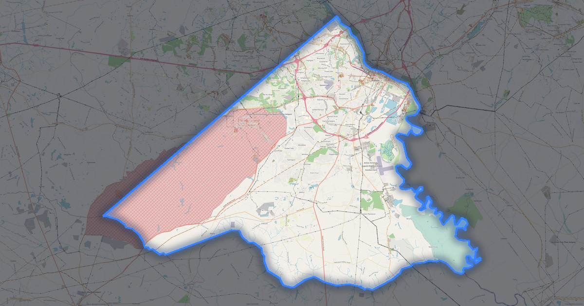
Map of Cairo

Elevation of Cairo: 77 m · 254 ft

City · Georgia · 9K · 25 km2

A ready-made vector map with buildings, roads and features — for CAD, GIS and print. Download after signing in.

Choose a format
All 128 formats Customize your area
128 formatsOSM datadownload after signing in
N
© OpenStreetMap
Boundary · Cairo · OpenStreetMap
BuildingsRoadsWaterGreeneryBoundary

Map passport

25 km2
Area
165
Buildings
221 km
Roads
115
Points of interest
Typecity
Population9K
Coordinates30.88° N, 84.2° W
Elevation≈77 m
OSM data2026-10-26
Customize the map for yourself

Open the area of Cairo in the constructor and change layers, style, format and coordinate system for your task.

Open in constructor

Map defaults

This is how the map is built by default — every parameter can be changed in the constructor.

Format
PDF .pdfchoose
Layers
Roads, Buildings, Water, Greenery, POIchange
Style
Standard (colour)change
Detail
auto · by area sizechange
House numbers
off — can be enabled in the editorchange
Points of interest
all but cafés, shops and services — the editor adds thosechange
Coordinate system
WGS 84 (auto)change
Sheet size
Relief and grid

Download the map of Cairo in 128 formats

The same OpenStreetMap dataset — in the format for your software. Pick by task: CAD, vector, GIS, 3D or print.

Popular formatsthe most common formats
MOST COMMON
PDFfor printing and viewing.pdf · ≈ 1008 KB
CDRfor CorelDRAW.cdr · ≈ 154 KB
SVGfor Illustrator, Inkscape, web.svg · ≈ 1.2 MB
GeoJSONfor QGIS and web maps.geojson · ≈ 2.3 MB
DWGfor AutoCAD, nanoCAD, BricsCAD.dwg · ≈ 2.3 MB
CADdrafting and design
DWGFREE
AutoCAD.dwg · ≈ 2.3 MB
DXFFREE
CAD exchange.dxf · ≈ 2.7 MB
CDRFREE
CorelDRAW.cdr · ≈ 154 KB
DGNFREE
MicroStation.dgn · ≈ 689 KB
Vectorillustration and web
SVGFREE
Web · vector.svg · ≈ 1.2 MB
AIFREE
Illustrator.ai · ≈ 968 KB
EPSFREE
Print production.eps · ≈ 946 KB
PDFFREE
Vector · print.pdf · ≈ 1008 KB
GISgeo-referenced data
GeoJSONFREE
GIS · data.geojson · ≈ 2.3 MB
ShapefileFREE
QGIS · ArcGIS.shp · ≈ 576 KB
KMLFREE
Google Earth.kml · ≈ 4.3 MB
GeoPackageFREE
GeoPackage.gpkg · ≈ 1.4 MB
3Dvolume and models
STLFREE
3D printing.stl.zip · ≈ 66 KB
OBJFREE
3D model.obj · ≈ 26 KB
glTFFREE
3D · web.gltf · ≈ 48 KB
DAEFREE
Collada.dae · ≈ 44 KB
Printraster and layouts
PNGFREE
Raster · transparency.png · ≈ 792 KB
JPGFREE
Raster.jpg · ≈ 202 KB
PDFFREE
Print layout.pdf · ≈ 1008 KB
TIFFFREE
Print production.tif · ≈ 1.8 MB
Open all 128 formats

Maps of Georgia

Nearby cities and districts — every map is ready to download.

Neighbouring places and regions

Browse to neighbouring cities, districts and regions — each has a ready-made vector map in the same formats.

Regions of United States

California39 576 757Texas29 145 505New York20 201 249Pennsylvania13 078 751Illinois12 812 508Ohio11 883 304North Carolina11 046 024Michigan10 140 459Tennessee7 227 750Indiana6 924 275Missouri6 245 466Wisconsin5 960 975Colorado5 957 493Minnesota5 793 151Alabama5 024 279Louisiana4 597 740Kentucky4 588 372Oklahoma3 963 516Iowa3 241 488Arkansas3 088 354Kansas2 970 606Nebraska2 005 465Maine1 405 012Virginia8 811 195Washington7 958 180Mississippi2 943 045South Carolina5 478 831South Dakota924 669Utah3 503 613San Francisco873 965
United States — all regions

Nearby

Tallahassee186 411 · 47 km · CityGeorgia11 180 878 · 209 km · RegionGainesville116 616 · 222 km · CityJacksonville949 611 · 251 km · CityMontgomery200 603 · 255 km · CityAugusta194 343 · 357 km · CityTampa421 042 · 364 km · CityMobile187 041 · 374 km · City

About Cairo

Cairo is a spacious city spanning 25.3 km², where buildings alternate with open spaces. Green areas cover only 0.6% — the city is heavily urbanized.

77 m · 254 ftElevation of Cairo
25.3 km²Area
221 kmRoads and streets
165Buildings
128formats
WGS 84coordinate system

What's inside the map of Cairo

The map covers the entire area of Cairo within administrative boundaries — 25 km2. Green areas cover 0.6% of the territory. Each layer can be turned on or off before download.

165buildings
Buildings on separate layers
residential41
commercial10
221km
Roads with classification
trunk roads8 km
primary roads9 km
service roads29 km
115POI
Points of interest
fuel stations8
parks5
Motel2
Main streets
North Broad Street20th Street NortheastUpper Hawthorne TrailSouth Broad StreetAirport RoadMartin Luther King Junior Avenue
Landmarks · 6
›Grady County Museum
›Cairo Car Museum
›Saint Thomas Primitive Baptist Church
›Bethlehem African Methodist Episcopal Church
›First Baptist Church
›Full Gospel Church

What the map of Cairo looks like

The same place in three render styles. Buildings, roads, water and greenery carry over into every format losslessly.

Blueprint (CAD) — map of Cairo
Blueprint (CAD)
Outlines on a dark background — for DWG and DXF
Standard vector — map of Cairo
Standard vector
A colour map with buildings, roads and greenery
Print layout — map of Cairo
Print layout
A ready layout for PDF and print production

Make a free Cairo map poster

Cairo in numbers
Area25.3 km²
Roads and streets221 km
Buildings165
Water bodies5
Green areas0.3 km²
Green share0.6%
Elevation range63 m
OSM data as of2026-03-15
What is on the map of Cairo
Points of interest115
Cafés and restaurants15
Shops26
Schools5
Hospitals1
Hotels3
Parks4

Streets and roads

Roads classified by type — according to OpenStreetMap data.

129,1 km
residential streets
29,9 km
tertiary roads
29,8 km
service roads
12,2 km
secondary roads
9,3 km
primary roads
8,7 km
trunk roads
2,2 km
unclassified roads

The street network of Cairo — 221 km of roads according to OpenStreetMap data, classified by type.

Named streets
›North Broad Street · 3,9 km
›20th Street Northeast · 2,9 km
›Upper Hawthorne Trail · 2,8 km
›South Broad Street · 2,5 km
›Airport Road · 2,4 km
›Martin Luther King Junior Avenue · 2,3 km
›Joyner Road · 2,1 km
›6th Avenue Northwest · 2,1 km

Compared to neighbours

How the place compares to neighbours within a 30-kilometre radius.

54 places within a 30 km radius to compare.

🏠 Built-uppercentile 43 of 100
🛣️ Roadspercentile 2 of 100

What people who already downloaded say

Finally, maps can be downloaded as vectors. Thanks to the author!
Ilyas, September 2026

Map: Ufa, AI

everything is really cool, I didn't expect I'd just come and download a piece of the map! thanks!!!
Sergey, September 2026

Map: Nizhny Novgorod, PMTiles

HUGE THANKS!!! A VERY GOOD PROGRAM!!! I was looking for a vector map where 3 countries meet - it helped a lot!!
Andrey, September 2026

Map: Kazakhstan and Altai, PDF

Well done! You've done a big and much-needed job!
Artem, September 2026

Map: Roshchino, Leningrad Region, GeoTIFF

Ivan, thank you so much! Not just a man - a Great Man!
Konstantin, September 2026

Map: Saratov Region, GeoJSON

ivan, you're simply a wonder. Thank you for an incredibly cool service
Architecture student, September 2026

Map: Bogashevo near Tomsk, DXF

All reviews

Frequently asked questions

Open osm2cdr.com, select the target area on the map, choose a format, and start export. Most maps are ready in a few seconds.
Map of Cairo is available in 128 formats: CDR, DWG, DXF, SVG, AI, EPS, PDF, PNG, GeoJSON, KML, Shapefile, GeoTIFF and others.
Pick a format: all 128 formats are available, with no area limits. Download after signing in to the site; you see the price before you pay.
The service uses OpenStreetMap data, updated monthly.
Generation time depends on the area size. You will receive an email notification when ready.