Carte de Bangladesh
Pays · 167,418 km2
Une carte vectorielle prête à l'emploi avec bâtiments, routes et objets — pour la CAO, les SIG et l'impression. Gratuit, sans inscription.
Fiche technique de la carte
Ouvrez la zone de Bangladesh dans le constructeur et modifiez les couches, le style, le format et le système de coordonnées selon votre projet.
Ouvrir dans le constructeurParamètres par défaut de la carte
Voici comment la carte est générée par défaut — chaque paramètre peut être modifié dans le constructeur.
Télécharger la carte de Bangladesh en 140 formats
Le même jeu de données OpenStreetMap — au format adapté à votre logiciel. Choisissez selon votre besoin : CAO, vecteur, SIG, 3D ou impression.
Cartes de Bangladesh
Tous les lieux du territoire — chaque carte est prête à télécharger.
Régions · 8


Grandes villes · 100








Lieux et régions voisins
Accédez aux villes, districts et régions voisins — chacun dispose d'une carte vectorielle prête à l'emploi dans les mêmes formats.

À propos de Bangladesh
Bangladesh est une carte vectorielle prête à l'emploi fondée sur les données OpenStreetMap. Ce n'est pas une image, mais des couches structurées de bâtiments, routes, plans d'eau, espaces verts et points d'intérêt, modifiables dans n'importe quel logiciel professionnel. Le territoire de la carte couvre une superficie de 167,418 km2 dans ses limites administratives.
La carte comprend 806 062 bâtiments, 205 414 km de routes et de rues et 66 660 points d'intérêt. Chaque couche peut être activée ou désactivée avant le téléchargement, et les données conservent la classification d'origine d'OpenStreetMap. Les espaces verts occupent environ 9% du territoire.
La carte s'utilise parfaitement comme fond de plan dans AutoCAD et CorelDRAW, pour charger des couches dans QGIS et ArcGIS, préparer des schémas et plans imprimés, ou comme base pour le design et la navigation. Plus de 130 formats sont disponibles — de DWG, DXF et SVG à GeoJSON, Shapefile et modèles 3D, dans le système de coordonnées WGS 84.
Que contient la carte de Bangladesh
La carte couvre tout le territoire de Bangladesh dans ses limites administratives — 167,418 km2. Les espaces verts occupent 9% du territoire. Chaque couche peut être activée ou désactivée avant le téléchargement.
À quoi ressemble la carte de Bangladesh
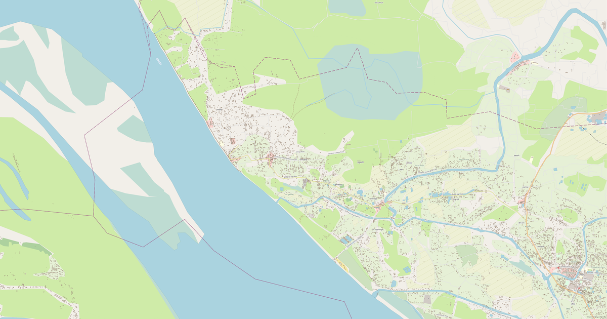
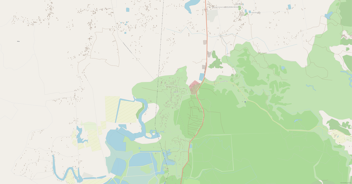
Le même lieu dans trois styles de rendu. Bâtiments, routes, eau et espaces verts sont transférés dans tous les formats sans perte.
Infrastructure de Bangladesh
Ce qui se trouve sur le territoire selon les données OpenStreetMap.
Densité et saturation
Combien d'objets par kilomètre carré — selon les données OpenStreetMap.
Comment la carte est utilisée
Le même jeu de données pour Bangladesh — pour différents usages : du dessin technique à l'impression 3D.
Nature et espaces verts
Parcs, squares et plans d'eau de Bangladesh selon les données OpenStreetMap — tout est transféré dans la carte sous forme de couches séparées.
Transports en commun
Arrêts et stations selon les données OpenStreetMap.
Les transports en commun de Bangladesh comprennent 3 489 arrêts de bus, 490 gares ferroviaires, 57 arrêts de tramway et 17 stations de métro. Tous les arrêts et stations sont intégrés à la carte sous forme de couche séparée.
Rues et routes
Routes classées par type — selon les données OpenStreetMap.
Le réseau de rues de Bangladesh — 205 414 km de routes selon les données OpenStreetMap, classées par type.
Restaurants et cafés
Établissements de restauration selon les données OpenStreetMap.
À Bangladesh, OpenStreetMap recense 6 088 établissements de restauration — restaurants, cafés, bars et points de restauration rapide.
Commerces et magasins
Commerce selon les données OpenStreetMap.
À Bangladesh, OpenStreetMap recense 25 084 magasins et points de vente. Principales catégories : Magasins, Vêtements, Électronique, Meubles, Tea, Supermarchés.
Éducation
Écoles, universités et bibliothèques selon les données OpenStreetMap.
Universités: 23.741927, 90.385776 Dhanmondi Ideal College, Central Rd, Dhaka, A M International School and College, A.E.R.E School Building, A.K. School And College (Main Campus), A.R.S. Secondary Girl's School, Abdul Gani Unani Medical College, College, Abdul Hadee College, Abdul Hamid Building আব্দুল হামিদ ভবন.
Santé
Hôpitaux, pharmacies et cliniques selon les données OpenStreetMap.
Où se loger
Hôtels, auberges de jeunesse et maisons d'hôtes selon les données OpenStreetMap.
Ce qui figure sur la carte
Chaque couche de la carte de Bangladesh peut être activée ou désactivée avant le téléchargement.
Chiffres clés
Synthèse des données OpenStreetMap pour Bangladesh.
Comparaison avec les environs
Comment le lieu se situe par rapport à ses voisins dans un rayon de 30 kilomètres.
42 lieux dans un rayon de 30 km à comparer.