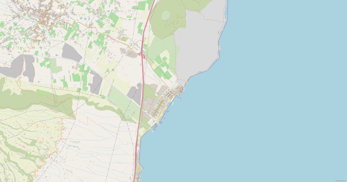
Map of Tejina in OBJ format
Peta yang dibangun dari data OpenStreetMap, siap diunduh
Sesuaikan peta untuk Anda
Buka area tempat ini di konstruktor dan sesuaikan semuanya dengan kebutuhan Anda
Buka di konstruktor →Informasi peta
Apa isi peta ini secara default
Beginilah peta dibangun «apa adanya» — setiap pengaturan dapat diubah di konstruktor.
.obj
Tentang OBJ
Peta Tejina dalam OBJ: 1 111 bangunan — dalam sistem koordinat WGS 84, satuannya meter.
Lapisan apa saja yang ada di file
File ini untuk area yang dipilih berisi:
- Bangunan
Geometri per lapisan
- Bangunan — benda pejal yang diekstrusi dari kontur bangunan
Apa yang dibawa file ini
File OBJ untuk Tejina: objek datang sebagai satu aliran, tanpa lapisan bernama, tag OpenStreetMap tidak disimpan — yang tersisa adalah geometri dan tampilannya, ketinggian objek ikut dibawa.
Apa yang tidak akan ada di file ini
Dalam OBJ untuk Tejina yang berikut ini tidak ikut: 148 km jalan, 35 objek air, 1 509 363 km² area hijau, 236 titik menarik — format ini mencetak benda pejal yang diekstrusi dari kontur bangunan, dan lapisan lain tidak termasuk dalam model.
Ukuran file
Perkiraan ukuran file OBJ untuk Tejina sekitar 34 KB; ukuran pastinya bergantung pada lapisan yang dipilih dan luas area.
Sistem koordinat
WGS 84 (EPSG:4326), dapat dipilih di wizard
Kompatibilitas
Satuan ukuran
Meter (diproyeksikan dalam sistem koordinat yang dipilih)
| Kategori | 3D |
| Ekstensi file | .obj |
| Tingkat | Open Beta |
What's in the OBJ map of Tejina
1,111 buildings (166 residential, 3 commercial, 6 industrial, 2 religious), 147.8 km of roads, 236 points of interest, 11 landmarks.
The area covers 30 km², with about 37 buildings per km².
Mostly residential streets 71.2 km, unclassified roads 36.3 km, primary roads 14.6 km.
The map marks 2 parks and 35 water bodies.
Key amenities: pharmacies — 7, supermarkets — 6, convenience stores — 7.
Public transport: 102 bus stops.
3D scene with 1,111 buildings for Blender, Cinema 4D, and other 3D editors.
Main streets: Carretera de La Laguna a Punta del Hidalgo, Carretera Tejina - Tacoronte, Carretera de El Boquerón, Carretera de Las Toscas - El Portezuelo, Camino la Costa
Landmarks: Museo de Antropología de Tenerife, Charco de la Laja, Casa de Carta, Iglesia de San Bartolomé, Mirador de El Boquerón
Cara menggunakan OBJ untuk Tejina
- Pilih area peta Tejina di halaman utama
- Pilih format OBJ dan atur opsi ekspor
- Klik «Ekspor» dan tunggu hingga selesai
- Unduh file yang sudah siap dan gunakan di aplikasi Anda