
PDF (vector — Portable Document Format)
Price before paymentPDF är det universella formatet för visning och utskrift. En vektorkarta i PDF behåller alla detaljer vid valfri zoomnivå och öppnas på alla enheter utan ytterligare programvara.
OpenStreetMap data as of 26 October 2026 · 19 days ago
Viktiga funktioner
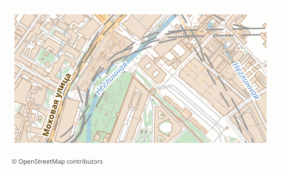
Om formatet PDF
PDF (ISO 32000) is the format that opens everywhere: in a browser, on a phone, in any operating system, with nothing to install. The vector variant stores the map not as a picture but as geometry: road lines, building outlines and labels stay independent objects.
Two practical consequences follow. The map can be enlarged without losing crispness — in print the lines stay thin and even on any sheet size, from A4 to a poster. And it can be edited: the file opens in Illustrator, Inkscape or CorelDRAW as ordinary vector graphics, where objects can be recoloured and moved.
The file is assembled through the QGIS print layout in vector mode: labels stay text with embedded fonts — they show up in a document search and can be selected, not just looked at. The sheet size is chosen at export time (A4-A0) or picked automatically from the area of the region.
Vector PDF has a limit: the more objects there are, the heavier the file and the longer it takes to open — a map of a whole region can noticeably lag in a browser viewer. For such cases there is raster PDF: it opens instantly regardless of how dense the development is, but does not scale without losing crispness.
Vilket program öppnar PDF-filer
Följande program och applikationer kan öppna, redigera och arbeta med PDF (vector — Portable Document Format)-filer (.pdf) som exporterats från OSM2CDR:
Format specifications
- Open standard
- 2D only
- Lossless (no quality loss)
- No attributes
- Output: 1 file
- PDF (ISO 32000). Map layers are separate PDF layers (Optional Content Groups), toggled in the Layers panel of Acrobat or Illustrator: vector paths, live text, embedded fonts. Print-ready at 300 DPI. In raster mode (pdf_dpi) there are no layers: one picture. Layer blend modes (multiply, screen, etc.) are not carried over -- the site styles do not use them; translucency is plain alpha (/ca), no /BM.
Vem använder PDF-kartor
Så exporterar du PDF
Så öppnar du filen efter exporten
- Any browser, Acrobat Reader, Preview on macOS or SumatraPDF — open and look; a document search will find street and place names, because the labels remained text.
- Adobe Illustrator or Inkscape (free) — open it as vector graphics: recolour layers, remove what you do not need, add your own labels, a frame and a legend.
- CorelDRAW — import the PDF for further prepress work, if the layout is being put together there.
- Printing — in the print dialog turn off "fit to page" and print at 100% scale, otherwise the stated map scale will no longer match the sheet.
- A print house — for offset, ask for the file in the PDF/X profile: we deliver it as a separate format, with the parameters that printing requires already written in.
Hämta kartexporter i PDF (vector — Portable Document Format)
Ladda ner professionella PDF-kartor från OpenStreetMap. Direktgenerering, valfritt område.
Vanliga frågor
Jämför med andra format
Relaterade format
Ofta exporterade tillsammans
Related Articles
PDF — Complete Guide: Adobe History 1993-2025, How to Open, How to Export an OpenStreetMap Map
Deep guide to PDF: what's inside the portable document format, evolution from Adobe to ISO, which programs open it, pros
tutorialKMZ to PDF: Printing a Google Earth Map with Scale and Legend
How to turn KMZ or KML into a print-ready PDF: a Google Earth Pro image, a QGIS layout with scale bar and legend, an onl
usecaseMap of Nature Reserves and National Parks from OSM
Nature reserves and national parks from OpenStreetMap: how they are tagged, which layers to enable and which format to p