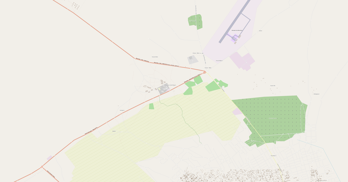
Map of Maindou in MP (Polish format) format
A map built from OpenStreetMap data, ready to download
Customize the map
Open this place's area in the constructor and adjust everything to your needs
Open in constructor →Map passport
What this map contains by default
This is how the map is built as-is — every setting can be changed in the constructor.
.mp
About MP (Polish format)
Map of Maindou in MP (Polish format) — an export of real OpenStreetMap data for the selected area.
MP (Polish format) is an open plain-text source format for mapmakers, created for the cGPSmapper compiler. It is not a ready-made map: an .mp file does not load into a navigator. You build the map from it — NM2 for older Navitel units via GPSMapEdit, or .img for Garmin via cgpsmapper.
Which layers are in the file
This file for the selected area contains:
- Roads
Coordinate systems
WGS 84 (EPSG:4326), selectable in the wizard
Units
Meters (projected in the chosen coordinate system)
| Category | GIS |
| File extension | .mp |
| Tier | Open Beta |
How to use MP (Polish format) for Maindou
- GPSMapEdit (a free map editor) — File → Open, pick the .mp; the map appears on screen and objects can be edited.
- cgpsmapper (the compiler) — the command "cgpsmapper map.mp" in a console builds an .img for Garmin; the result goes onto the device as gmapsupp.img or is installed via MapInstall.
- Any text editor (Notepad++, VS Code) — inspect and adjust the content directly: object types, names, levels.
Programs that open MP (Polish format)
FAQ: MP (Polish format) for Maindou
Can I put an .mp straight into a navigator?
No. An .mp is a mapmaker's source file, not a device map. Open it in GPSMapEdit and export to NM2 for Navitel, or compile it with cgpsmapper into a Garmin .img.
Will the map be routable?
No. We deliver a basic map: geometry, labels, object types and levels. There is no routing graph (RouteParam / Nod sections) in the file — it is built at the next step, in GPSMapEdit or cgpsmapper.
How does .mp differ from Garmin IMG on this site?
We compile the IMG in full: download it and the Garmin device works. An .mp is a source file from which you build the map yourself. The point is that .mp opens the route to Navitel (NM2), which the ready-made formats do not.
Which Navitel versions will accept a map built from .mp?
GPSMapEdit exports to NM2 — an older-generation container. It is understood by Navitel Navigator releases roughly up to 9.1x. Recent releases use NM3/NM7, and those formats are closed: no third-party tool can build them.
Why is there no routing graph in the file?
A graph is more than a set of lines: it needs nodes at intersections, road classes, turn restrictions and one-way flags. Building it correctly is the job of dedicated compilers, and in the chain they come next. We deliver verified geometry with types and levels; the graph is added at compile time.