
KOMPAS-3D (DXF for KOMPAS)
Open BetaCDW — власний формат російської САПР-системи KOMPAS-3D. Наш сервіс перетворює дані OpenStreetMap на файл із окремими шарами для доріг, будівель, водойм та інфраструктури. Результат відкривається в KOMPAS-3D, KOMPAS-Graphic і сумісних САПР-інструментах.
Ключові можливості
Про формат KOMPAS
KOMPAS-3D is a Russian CAD system by ASCON, the de facto standard in domestic mechanical engineering and design: it is what people draft with at plants and what universities teach. An OpenStreetMap map is needed there as a base plan — the context of the site, the streets and buildings around the object being designed.
The export delivers the drawing in DXF prepared specifically for KOMPAS: version R2007 and newer with UTF-8 encoding, so Russian layer names and labels read without corruption, the units are metric, and the layers are named in Russian. KOMPAS opens such a file with its standard command and saves it into its own .cdw or .frw in one step — the content of the drawing does not change in the process.
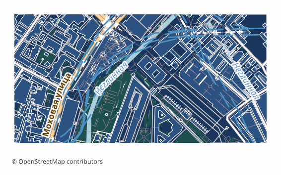
The map is laid out across layers: roads, buildings, water, vegetation, points of interest, boundaries. The ones you do not need are switched off in the layer manager, and the rest stay as a base plan on top of which you do your own work. The geometry is vector — it can be measured, snapped to and built upon.
If a coordinate system was explicitly chosen at export time, a ZIP arrives along with the drawing: the file itself and a .prj describing the projection — so the georeferencing is visible to GIS tools as well. Without an explicit choice, a single drawing file is delivered.
Яка програма відкриває файли KOMPAS
Наведені програми та застосунки можуть відкривати, редагувати та працювати з файлами KOMPAS-3D (DXF for KOMPAS) (.dxf), експортованими з OSM2CDR:
Format specifications
- Proprietary format
- 2D only
- Lossless (no quality loss)
- Stores feature attributes
- Output: 1 file
- A DXF R2007+ (UTF-8) drawing prepared for the Russian KOMPAS-3D CAD: metric units, CAD layer structure, Cyrillic labels. KOMPAS opens it directly and saves it as native .cdw / .frw itself.
Хто використовує карти KOMPAS
Як експортувати KOMPAS
Як відкрити після експорту
- KOMPAS-3D, including LT and Home — File → Open, pick the DXF file; in the import dialog keep the metric units, then Save As .cdw or .frw.
- Checking the layers — in the document manager switch off everything unnecessary, leaving only the base plan you need, and lock it against accidental edits.
- Inserting into your own drawing — rather than copying the objects, it is handier to insert the map as an external fragment so it does not mix with your geometry.
- If labels display incorrectly — make sure the file is opened as DXF version R2007 or newer: that is the version that stores text in UTF-8.
- nanoCAD, AutoCAD and other CAD systems — the same file opens in them too, if the project is not run in KOMPAS alone.
Популярні карти у форматі KOMPAS
Отримайте експорт карт у KOMPAS-3D (DXF for KOMPAS)
Завантажуйте професійні карти KOMPAS з OpenStreetMap. Миттєва генерація, будь-яка область.
Поширені запитання
Пов’язані формати
Часто експортують разом
Related Articles
Which Map Format to Choose for CAD Import: AutoCAD, BricsCAD, KOMPAS, ArchiCAD
Decision tree for choosing an OSM map format for any CAD import: AutoCAD, nanoCAD, KOMPAS-3D, ArchiCAD, Revit, FreeCAD.
formatKOMPAS (ASCON) format: Russian CAD standard ESKD — OSM export for import substitution
KOMPAS-3D and KOMPAS-Graph by ASCON: ESKD standards, .frw/.m3d/.a3d, SolidWorks/AutoCAD substitution, OSM pipeline.
tutorialExporting Maps to KOMPAS-3D: Integrating OSM with Russian CAD Systems
Step-by-step workflow: exporting OpenStreetMap maps to DXF and importing into KOMPAS-3D. Site plans, surveying, and MSK