
Autodesk DWF (Design Web Format)
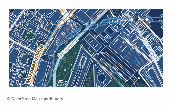
Open BetabetaDWF (Design Web Format) is an Autodesk format for publishing and viewing design data without editing. Our exporter writes a true DWF 6 ePlot: the ASCII version prefix, a ZIP with the manifest and the sheet descriptor, and graphics as a binary W2D opcode stream — the same one AutoCAD itself writes. The map is fitted to an A3 sheet with its proportions kept: layers (roads, buildings, water, greenery, landuse) stay separate, each in its own color, background areas are filled while buildings and roads are outlined, and street names and house numbers are written as Unicode text. The file opens in Autodesk Design Review and attaches as an underlay in AutoCAD.
Temel Özellikler
DWF Formatı Hakkında
DWF is an Autodesk format for publishing project data: it was invented to show drawings to a client and to related trades without handing over the source DWG. Physically it is a ZIP archive with a manifest and graphic sections inside.
Our export is a finished sheet for viewing rather than an editable drawing: that is what the format was made for. The package holds a manifest, a sheet descriptor and a W2D stream, where the OSM layers — roads, buildings, water, greenery, landuse — lie separately, each with its own color, and the geometry is written as polylines, polygons and text labels.
The graphics are written as a true binary W2D opcode stream — the same one AutoCAD itself writes — so the file opens in Autodesk Design Review and attaches as an underlay in AutoCAD. The map is fitted to an A3 sheet with its proportions kept and printing margins in place; street names and house numbers are text, with Cyrillic native. A DWF cannot be edited by design: if you need a working drawing, take DWG or DXF.
DWF Dosyalarını Hangi Program Açar
Aşağıdaki programlar ve uygulamalar, OSM2CDR'den dışa aktarılan Autodesk DWF (Design Web Format) (.dwf) dosyalarını açabilir, düzenleyebilir ve bunlarla çalışabilir:
Format specifications
- Proprietary format
- 2D only
- Lossless (no quality loss)
- No attributes
- Output: 1 file
- A true Autodesk DWF 6 ePlot: a ZIP behind the version prefix with manifest.xml and a sheet descriptor, graphics as a binary W2D opcode stream; the map is fitted to an A3 sheet, street names and house numbers included.
DWF Haritalarını Kimler Kullanır
DWF Nasıl Dışa Aktarılır
Dışa aktardıktan sonra nasıl açılır
- Autodesk Design Review — try opening the file first thing: that shows right away whether it suits your viewer.
- Any archiver — rename the extension to .zip and unpack it: inside are manifest.xml and the graphic section, and the structure is easy to study by eye.
- Labels — check the street names and house numbers: they are stored as text, not as a picture, and read as such in the viewer.
- If you need a working drawing — download DWG or DXF: they open in AutoCAD, BricsCAD, NanoCAD and KOMPAS with no reservations.
DWF formatında popüler haritalar
Autodesk DWF (Design Web Format) harita dışa aktarımlarını edinin
OpenStreetMap'ten profesyonel DWF haritaları indirin. Anında oluşturma, her alan.