
GeoPackage (GPKG)
Open BetaGeoPackage ni umbizo la kisasa la OGC la kuhifadhi data ya kijiografia katika faili moja inayozingatia SQLite. Mbadala wa Shapefile ya zamani, linalosaidia tabaka za vekta na rasta katika kontena moja.
OpenStreetMap data as of 24 August 2026 · 46 days ago
Vipengele Muhimu
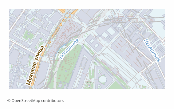
Kuhusu Muundo wa GeoPackage
GeoPackage is an OGC standard adopted in 2014. Under the hood it is an ordinary SQLite database in which layers, geometry and metadata are laid out by the standard's rules. A single .gpkg file can hold any number of vector layers, rasters, styles and tables without geometry.
It was devised as the replacement for the shapefile, and it cured all of its ailments: field names of any length, UTF-8 with no tricks, no set of companion files that must never be separated, and no two-gigabyte limit. Today GeoPackage is the default format in QGIS and the standard exchange unit in many organizations.
Each map layer becomes a separate table with its own OpenStreetMap attributes and a spatial index that is built automatically. Coordinates are WGS84 (EPSG:4326). All of it in one file: convenient to send, to put in the cloud or to take with you into the field.
You can also work with it as a database: a .gpkg opens in any SQLite client, and ordinary SQL queries apply to the layers.
Programu Gani Hufungua Faili za GeoPackage
Programu na programu-tumizi zifuatazo zinaweza kufungua, kuhariri, na kufanya kazi na faili za GeoPackage (GPKG) (.gpkg) zilizosafirishwa kutoka OSM2CDR:
Format specifications
- Open standard
- 3D coordinates supported
- Lossless (no quality loss)
- Stores feature attributes
- Output: 1 file
- OGC GeoPackage (SQLite). Single .gpkg file contains all layers. Direct import in QGIS 3.x, ArcGIS Pro, GDAL/OGR.
Nani Hutumia Ramani za GeoPackage
Jinsi ya Kusafirisha GeoPackage
Jinsi ya Kufungua Baada ya Kuhamisha
- QGIS (free) — drag the .gpkg into the program window; a list of layers appears, tick the ones you need. Edits are saved right into that same file.
- ArcGIS Pro — Add Data, choose the .gpkg: the feature classes connect as if from a geodatabase.
- ogr2ogr — ogrinfo -so map.gpkg shows the list of layers, and ogr2ogr -f PostgreSQL PG:"..." map.gpkg loads them all into PostGIS in one command.
- Python — geopandas.read_file("map.gpkg", layer="roads"); the list of layers comes from fiona.listlayers.
- Field apps — QField, Mergin Maps and the like take a .gpkg as an offline source: one file on the phone, and the map works with no network.
Ramani maarufu katika GeoPackage
Pata usafirishaji wa ramani za GeoPackage (GPKG)
Pakua ramani za kitaalamu za GeoPackage kutoka OpenStreetMap. Uzalishaji wa papo hapo, eneo lolote.
Maswali Yanayoulizwa Mara kwa Mara
Linganisha na Miundo Mingine
Convert to GeoPackage and back
GeoPackage guides and tutorials
What people who already downloaded say
Reviews are quoted in the language their authors wrote them in.
Наконец-то карты можно скачать в векторе. Автору спасибо!
всё очень круто, не ожидал что просто приду и скачаю кусочек карты! спасибо!!!
ОГРОМНОЕ СПАСИБО!!! ОЧЕНЬ ХОРОШАЯ ПРОГРАММА!!! Искал карту в векторе на стыке 3 стран - очень помогло!!
Ты - молодец! Сделал большое и нужное дело!
Иван, спасибо огромное! Не просто человек - Человечище!
иван, вы просто чудо. Спасибо за неимоверно крутой сервис
Miundo Inayohusiana
Husafirishwa Pamoja Mara kwa Mara
Related Articles
Одиннадцать проверок выгрузки: СК, комплект файлов и обменные форматы
guideHow to download a map from OpenStreetMap: all the ways
All working ways to download a map from OpenStreetMap: export from osm.org, the Overpass API, Geofabrik and planet.osm,
tutorialQGIS can't find the multipolygons layer in OSM: cause and 2-minute fix
Opened an .osm or .pbf in QGIS but the multipolygons layer is missing? Here are the causes and the fastest fix — build t