
PDF (raster — Portable Document Format, rasterized)
Open BetaRaster PDF bakes the map into an image inside a PDF that opens instantly in any browser or viewer without lag. Unlike vector PDF, its size is bounded by resolution (DPI) and page size — not by feature count — so even a whole-country or region map opens fast and never freezes the viewer. Ideal for viewing, sharing, and printing.
Principais características
Sobre o formato PDF (raster)
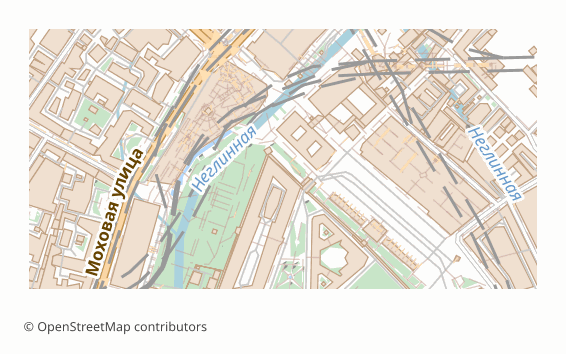
Raster PDF is the same familiar PDF, except the page inside it is not a set of vector objects but a single image. The file opens in any browser and viewer, and its weight depends not on how many houses and labels are on the map, but only on the resolution and the sheet size.
That is exactly why the format is chosen for large territories. A vector map of a million-strong city or of a region drags along hundreds of thousands of objects, and the viewer starts thinking over every page turn. The raster version opens instantly and scrolls equally fast on a weak laptop and on a phone.
The resolution is picked automatically from the area: for a region up to 10,000 km2 the sheet is capped at A2 size and drawn at 300 dots per inch — the labels come out crisp; for larger regions the sheet size is fitted to the map's proportions and the resolution stays at 150 dots per inch, otherwise the file would grow to an unacceptable weight. If you need a different value, set the DPI explicitly at export time — your choice takes priority.
The price for the speed is honest: the text in such a file is baked into the picture. Labels cannot be selected or found by search, zooming runs into the resolution, and you will not be able to edit the map as vector graphics. If you need those capabilities, take vector PDF or SVG.
Que programa abre ficheiros PDF (raster)
Os seguintes programas e aplicações podem abrir, editar e trabalhar com ficheiros PDF (raster — Portable Document Format, rasterized) (.pdf) exportados do OSM2CDR:
Format specifications
- Open standard
- 2D only
- Lossy compression
- No attributes
- Output: 1 file
- PDF (ISO 32000) with the whole page rasterised. Areas up to 10 000 km2: A2-capped sheet at 300 DPI; larger areas: auto-sized sheet at 150 DPI. Text is baked into the image — not selectable or searchable. Opens instantly in any browser or PDF viewer.
Quem utiliza mapas PDF (raster)
Como exportar para PDF (raster)
Como abrir depois da exportação
- Any browser, Acrobat Reader, Preview on macOS, SumatraPDF — open and page through; nothing extra needs to be installed.
- Printing — print at 100% scale without "fit to page"; the sheet is designed for a specific size, and fitting will distort the map scale.
- Sending it on — the file is self-contained and opens on any device the recipient has, including a phone: convenient to send by email or messenger.
- Photoshop, GIMP or an online converter — if you need an image: the page is pulled out into PNG or JPEG in one step, because inside there is already a picture.
- If you need to search by name or edit in a graphics editor — download the same area as vector PDF or SVG: there the objects and the text stay independent.
Mapas populares em PDF (raster)
Obtenha exportações de mapas em PDF (raster — Portable Document Format, rasterized)
Descarregue mapas profissionais em PDF (raster) a partir do OpenStreetMap. Geração instantânea, qualquer área.