Mapa de Ati
Aldeia · Mandoul
A ready-made vector map with buildings, roads and features — for CAD, GIS and print. Free, no registration.
Ati fica perto da água — Moula passa ali perto, e não muito longe fica o lago; a água próxima traz ar fresco no calor e uma vista serena todo o ano. Ao mesmo tempo pela dimensão, Ati fica no topo entre os povoamentos em redor.
Ficha do mapa
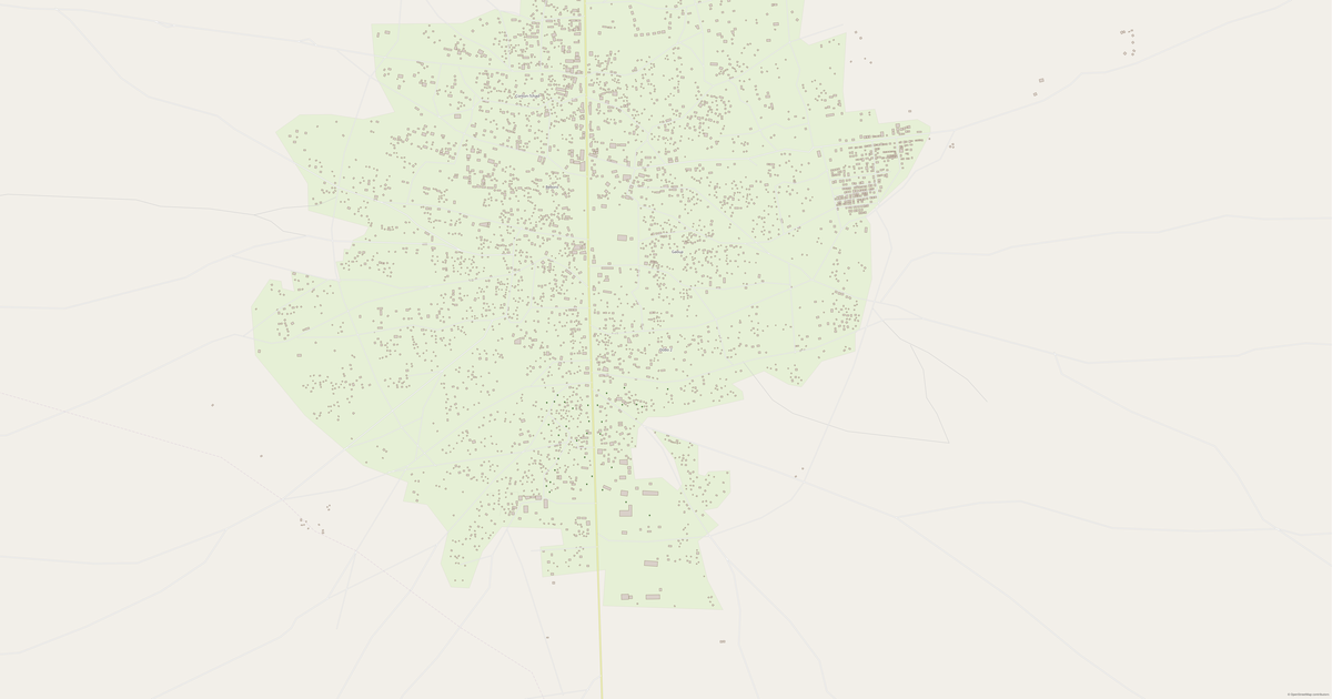
Abra a área de Ati no construtor e altere camadas, estilo, formato e sistema de coordenadas para a sua tarefa.
Abrir no construtorPredefinições do mapa
É assim que o mapa é construído por predefinição — cada parâmetro pode ser alterado no construtor.
Descarregue o mapa de Ati em 140 formatos
O mesmo conjunto de dados do OpenStreetMap — no formato para o seu software. Escolha por tarefa: CAD, vetorial, SIG, 3D ou impressão.
Location of Ati
Distance and direction to the nearest centres
Ati lies 66.1 km to the north-west of Koumra قمرة.
- Nearest city
- Koumra قمرة — 66.1 km to the north-west
- Region centre
- Mandoul — 49.4 km to the west
Mapas de Mandoul
Cidades e distritos próximos — cada mapa está pronto a descarregar.




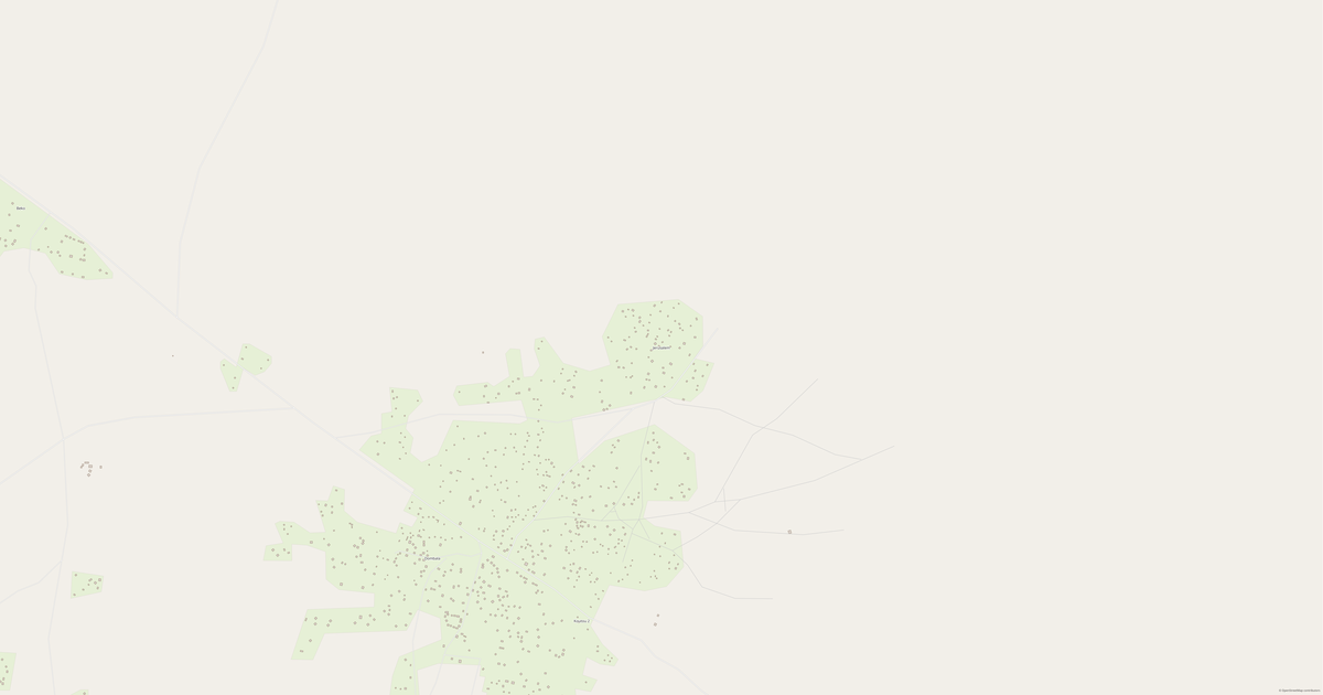


Locais e regiões vizinhas
Navegue para cidades, distritos e regiões vizinhas — cada um tem um mapa vetorial pronto a usar nos mesmos formatos.
Regiões de Chad

Sobre Ati
Retrato analítico: Ati Ati é um território espaçoso que se estende por 2.0 km², onde os edifícios se alternam com espaços abertos. Pontos fortes 7/100 Conectividade Rede viária pouco conectada Factos interessantes 🛣️ The total road length of Ati is 140 km.
O que inclui o mapa de Ati
O mapa abrange todo o território de Ati dentro dos limites administrativos. Cada camada pode ser ativada ou desativada antes de descarregar.
O que há por perto
Floresta, água, serviços e vias nas proximidades
🌳 Natureza
- 🌲Floresta16.1 km
- 💧Rio Moula1.2 km
- 🌊Lago11.1 km
- 🏖️Litoral50 km
🏢 Serviços
- 🏫Escola39.1 km
- 🧸Creche50 km
- 🛒Loja50 km
- 💊Farmácia50 km
- 🏥Hospital50 km
🛣️ Via
- 🏙️Cidade Koumra قمرة66 km NO
- 🚉Estação ferroviária50 km
Relevo
★ novo · a partir de mapas de relevoAltitude e características do terreno
As altitudes são calculadas a partir de modelos digitais de elevação (Copernicus GLO-30). Desnível — 15 m.
Como é o mapa de Ati
O mesmo local em três estilos de renderização. Edifícios, estradas, água e vegetação passam para todos os formatos sem perdas.
Como se usa o mapa
O mesmo conjunto de dados de Ati — para tarefas diferentes: do desenho à impressão 3D.
Natureza e zonas verdes
Parques, praças e massas de água de Ati segundo os dados do OpenStreetMap — tudo é transferido para o mapa em camadas separadas.
O que há no mapa
Cada camada do mapa de Ati pode ser ativada ou desativada antes de descarregar.
Números-chave
Um resumo baseado nos dados do OpenStreetMap para Ati.
Comparação com os vizinhos
Como o local se compara com os vizinhos num raio de 30 quilómetros.
308 lugares num raio de 30 km para comparar.