
Map of Ganshui
City · Chongqing · 187 km2
A ready-made vector map with buildings, roads and features — for CAD, GIS and print. Instant download, no registration.
Map passport
Open the area of Ganshui in the constructor and change layers, style, format and coordinate system for your task.
Open in constructorMap defaults
This is how the map is built by default — every parameter can be changed in the constructor.
Download the map of Ganshui in 133 formats
The same OpenStreetMap dataset — in the format for your software. Pick by task: CAD, vector, GIS, 3D or print.
Maps of Chongqing
Nearby cities and districts — every map is ready to download.




























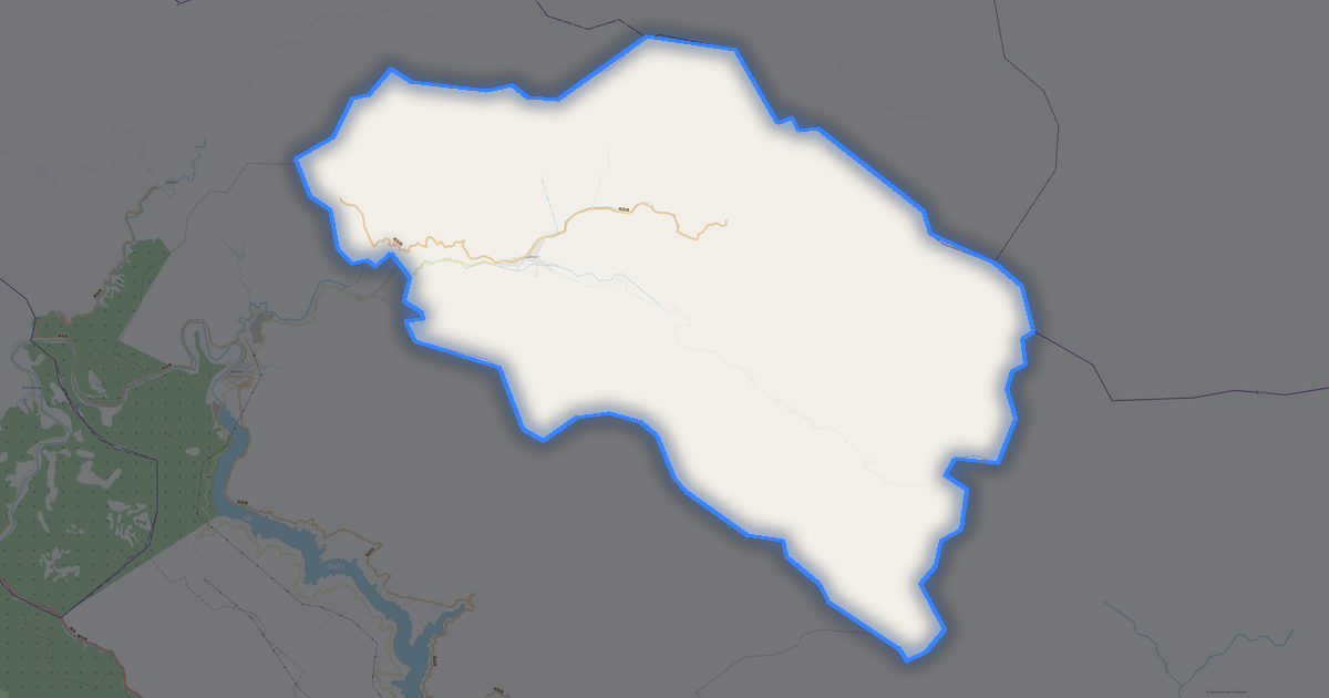


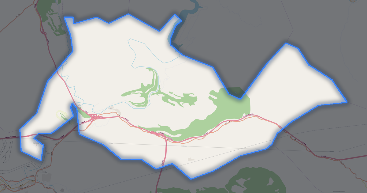






Neighbouring places and regions
Browse to neighbouring cities, districts and regions — each has a ready-made vector map in the same formats.
Regions of China
Nearby
What's inside the map of Ganshui
The map covers the entire area of Ganshui within administrative boundaries — 187 km2. Green areas cover 100% of the territory. Each layer can be turned on or off before download.
What the map of Ganshui looks like
The same place in three render styles. Buildings, roads, water and greenery carry over into every format losslessly.
Place scores
Composite indices from OpenStreetMap data: how comfortable it is to live here, walk, use transit and greenery.
Density and saturation
How many features there are per square kilometre — according to OpenStreetMap data.
How the map is used
The same dataset for Ganshui — for different tasks: from drafting to 3D printing.
Nature and green areas
Parks, squares and water bodies of Ganshui according to OpenStreetMap data — everything is carried into the map as separate layers.
Streets and roads
Roads classified by type — according to OpenStreetMap data.
The street network of Ganshui — 29 km of roads according to OpenStreetMap data, classified by type.
What's on the map
Each layer of the Ganshui map can be turned on or off before download.
Key figures
A summary based on OpenStreetMap data for Ganshui.
About Ganshui
.place-narrative{margin:2rem 0;padding:2rem;background:#f8fafc;border-radius:16px} .place-narrative h2{font-size:1.5rem;margin-bottom:1rem;color:#1e293b} .place-narrative__text p{font-size:1.1rem;line-height:1.7;color:#334155;max-width:72ch} .place-narrative__strengths{margin-top:1.5rem} .place-narrative__strengths h3{font-size:1.15rem;margin-bottom:.8rem;color:#1e293b} .place-narrative__strength-grid{display:grid;grid-template-columns:repeat(auto-fit,minmax(220px,1fr));gap:1rem} .place-narrative__strength{padding:1rem;background:#fff;border-radius:12px;border:1px solid #e2e8f0} .strength-score{font-size:1.5rem;font-weight:700;color:#10b981} .place-narrative__strength strong{display:block;margin:.4rem 0 .2rem;color:#1e293b} .place-narrative__strength p{font-size:.9rem;color:#64748b;margin:0} .place-narrative__facts{margin-top:1.5rem} .place-narrative__facts h3{font-size:1.15rem;margin-bottom:.8rem;color:#1e293b} .place-narrative__fact-grid{display:grid;grid-template-columns:repeat(auto-fit,minmax(260px,1fr));gap:1rem} .place-narrative__fact{display:flex;align-items:flex-start;gap:.75rem;padding:1rem;background:#fff;border-radius:12px;border:1px solid #e2e8f0} .fact-icon{font-size:1.5rem;flex-shrink:0} .place-narrative__fact p{font-size:.95rem;color:#334155;margin:0;line-height:1.5} @media(max-width:640px){.place-narrative__strength-grid,.place-narrative__fact-grid{grid-template-columns:1fr}} Analytical Portrait: Ganshui Ganshui is a spacious city spanning 186.8 km², where buildings alternate with open spaces. Strengths 61/100 Connectivity Average road network connectivity 32/100 Green Coverage Insufficient green coverage 11/100 Public Transit Limited public transport