
MapInfo MIF/MID
Price before paymentMIF/MID — MapInfo Professional-ге арналған мәтінге негізделген алмасу форматы. Файл жұптары (.mif + .mid) тиісінше геометрия мен атрибуттарды қамтиды. GIS жүйелері арасында деректермен алмасуға арналған әмбебап формат.
OpenStreetMap data as of 26 October 2026 · 25 days ago
Негізгі мүмкіндіктер
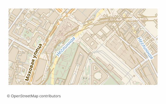
MIF форматы туралы
MIF/MID is MapInfo's text interchange format: geometry and column definitions live in the .mif file, and the attribute values themselves in the .mid, line by line. The format is documented and readable in an ordinary text editor, which is why it has been used for decades as a neutral go-between for GIS: MapInfo Pro, QGIS, Global Mapper and FME read it without plugins.
In Russia MIF/MID is still found in municipal and cadastral workflows: development, boundary and road network layers are accepted and issued in it. Exporting OSM into this format saves you from digitizing the base by hand — the data arrives right away in the shape the receiving side opens natively. InGeo takes MIF/MID through Import → MapInfo — that is the bridge into InGeo: we don't produce its native format, geomap or Panorama's SXF; Panorama GIS and Terra GIS read MIF/MID too.
The output is a ZIP archive: a pair of .mif and .mid files per layer plus a README.txt naming the coordinate system. The pairs must be kept together: without the .mid the layer opens with no attributes. Coordinates are in WGS84 (EPSG:4326) by default, and another projection can be chosen at export time. The files are built by the ogr2ogr utility in MapInfo File mode with an explicit FORMAT=MIF, and if a layer fails to convert it is honestly marked as failed — the service does not slip you a binary TAB under a .mif name.
MIF файлдарын қандай бағдарлама ашады
Келесі бағдарламалар мен қосымшалар OSM2CDR-дан экспортталған MapInfo MIF/MID (.mif) файлдарын ашып, өңдеп, олармен жұмыс істей алады:
Format specifications
- Open standard
- 2D only
- Lossless (no quality loss)
- Stores feature attributes
- Output: 2 files in archive
- MapInfo Interchange Format (.mif + .mid in ZIP). Documented text-based format. Opens in MapInfo Pro, QGIS.
MIF карталарын кім пайдаланады
MIF форматын қалай экспорттауға болады
Экспорттан кейін қалай ашу керек
- MapInfo Pro — File -> Open, file type "MapInfo Interchange (*.mif)"; the program picks up the paired .mid itself and offers to save the layer as a native TAB for further work.
- QGIS (free) — Layer -> Add Vector Layer -> pick the .mif. From there the layer can be styled and re-saved to SHP, GeoPackage or any other format.
- ogr2ogr (GDAL) — a one-off conversion without a GUI: ogr2ogr -f GPKG out.gpkg roads.mif builds the layer into a GeoPackage.
- Global Mapper or FME — if the MIF/MID has to be poured into someone else's data exchange pipeline with reprojection and field renaming.
- Before sending it to the client — unpack the whole archive: the .mif + .mid pair must sit in one folder, otherwise the attributes are lost.
MapInfo MIF/MID карта экспорттарын алыңыз
OpenStreetMap-тан кәсіби MIF карталарын жүктеп алыңыз. Лезде жасалады, кез келген аумақ.
Жиі қойылатын сұрақтар
What people who already downloaded say
Finally, maps can be downloaded as vectors. Thanks to the author!
Map: Ufa, AI
everything is really cool, I didn't expect I'd just come and download a piece of the map! thanks!!!
Map: Nizhny Novgorod, PMTiles
HUGE THANKS!!! A VERY GOOD PROGRAM!!! I was looking for a vector map where 3 countries meet - it helped a lot!!
Map: Kazakhstan and Altai, PDF
Well done! You've done a big and much-needed job!
Map: Roshchino, Leningrad Region, GeoTIFF
Ivan, thank you so much! Not just a man - a Great Man!
Map: Saratov Region, GeoJSON
ivan, you're simply a wonder. Thank you for an incredibly cool service
Map: Bogashevo near Tomsk, DXF
Қатысты форматтар
Жиі бірге экспортталады
Related Articles
MIF/MID (MapInfo Interchange) format: ASCII exchange since 1990 — OSM export for legacy GIS
MIF/MID from MapInfo Corp 1990: ASCII 2-file pair, REGION/PLINE/ARC geometry, GDAL MITAB, legacy GIS archives.
formatHow to open MIF/MID (MapInfo) and GML — or download the map in a familiar format
Got .mif/.mid or .gml files and not sure how to open them? QGIS and GDAL read them for free. And if the format is inconv
formatMapInfo TAB: Working with Maps in MapInfo Professional
MapInfo TAB format: file structure .tab/.dat/.map/.id, data import, CRS handling, and integration with professional GIS