
KOMPAS (flat 2D DXF drawing)
Price before paymentCDW हे रशियन KOMPAS-3D CAD प्रणालीचे मूळ स्वरूप आहे. आमची सेवा OpenStreetMap डेटा रस्ते, इमारती, जलाशय आणि पायाभूत सुविधांसाठी स्वतंत्र स्तर असलेल्या फायलीत रूपांतरित करते. आउटपुट KOMPAS-3D, KOMPAS-Graphic आणि सुसंगत CAD साधनांत उघडते.
OpenStreetMap data as of 26 October 2026 · 16 days ago
मुख्य वैशिष्ट्ये
KOMPAS स्वरूपाबद्दल
KOMPAS-3D is a Russian CAD system by ASCON, the de facto standard in domestic mechanical engineering and design: it is what people draft with at plants and what universities teach. An OpenStreetMap map is needed there as a base plan — the context of the site, the streets and buildings around the object being designed.
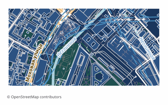
The export delivers a flat 2D DXF drawing prepared specifically for KOMPAS: lines, outlines and labels in plan, with no volume. Version R2007 and newer with UTF-8 encoding, so Russian layer names and labels read without corruption, the units are metric, and the layers are named in Russian. KOMPAS opens such a file with its standard command and saves it into its own .cdw or .frw in one step — the content of the drawing does not change in the process.
The map is laid out across layers: roads, buildings, water, vegetation, points of interest, boundaries. The ones you do not need are switched off in the layer manager, and the rest stay as a base plan on top of which you do your own work. The geometry is vector — it can be measured, snapped to and built upon.
If a coordinate system was explicitly chosen at export time, a ZIP arrives along with the drawing: the file itself and a .prj describing the projection — so the georeferencing is visible to GIS tools as well. Without an explicit choice, a single drawing file is delivered.
KOMPAS फाइल्स कोणता कार्यक्रम उघडतो
खालील कार्यक्रम आणि अनुप्रयोग OSM2CDR मधून निर्यात केलेल्या KOMPAS (flat 2D DXF drawing) (.dxf) फाइल्स उघडू, संपादित करू आणि त्यांवर काम करू शकतात:
Format specifications
- Proprietary format
- 2D only
- Lossless (no quality loss)
- Stores feature attributes
- Output: 1 file
- A flat 2D DXF R2007+ (UTF-8) drawing with no volume, for KOMPAS-Graphic / KOMPAS-3D: metric units, CAD layer structure, Cyrillic labels. KOMPAS opens it as a drawing and saves it as native .cdw / .frw itself.
KOMPAS नकाशे कोण वापरतो
KOMPAS कसे निर्यात करावे
निर्यातीनंतर कसे उघडावे
- KOMPAS-Graphic or KOMPAS-3D, including LT and Home — File → Open, pick the DXF file (it opens as a drawing); in the import dialog keep the metric units, then Save As .cdw or .frw.
- Checking the layers — in the document manager switch off everything unnecessary, leaving only the base plan you need, and lock it against accidental edits.
- Inserting into your own drawing — rather than copying the objects, it is handier to insert the map as an external fragment so it does not mix with your geometry.
- If labels display incorrectly — make sure the file is opened as DXF version R2007 or newer: that is the version that stores text in UTF-8.
- nanoCAD, AutoCAD and other CAD systems — the same file opens in them too, if the project is not run in KOMPAS alone.
KOMPAS (flat 2D DXF drawing) नकाशा निर्यात मिळवा
OpenStreetMap मधून व्यावसायिक KOMPAS नकाशे डाउनलोड करा. तत्काळ निर्मिती, कोणतेही क्षेत्र.