
KOMPAS-3D (DXF for KOMPAS)
Open BetaCDW قالب بومی سامانهٔ CAD روسی KOMPAS-3D است. سرویس ما دادههای OpenStreetMap را به فایلی با لایههای جداگانه برای جادهها، ساختمانها، پهنههای آبی و زیرساخت تبدیل میکند. خروجی در KOMPAS-3D، KOMPAS-Graphic و ابزارهای CAD سازگار باز میشود.
ویژگیهای کلیدی
دربارهٔ قالب KOMPAS
KOMPAS-3D is a Russian CAD system by ASCON, the de facto standard in domestic mechanical engineering and design: it is what people draft with at plants and what universities teach. An OpenStreetMap map is needed there as a base plan — the context of the site, the streets and buildings around the object being designed.
The export delivers the drawing in DXF prepared specifically for KOMPAS: version R2007 and newer with UTF-8 encoding, so Russian layer names and labels read without corruption, the units are metric, and the layers are named in Russian. KOMPAS opens such a file with its standard command and saves it into its own .cdw or .frw in one step — the content of the drawing does not change in the process.
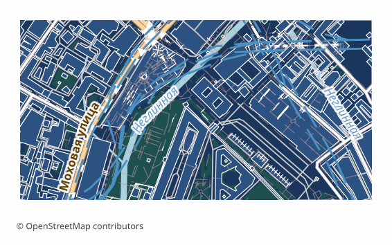
The map is laid out across layers: roads, buildings, water, vegetation, points of interest, boundaries. The ones you do not need are switched off in the layer manager, and the rest stay as a base plan on top of which you do your own work. The geometry is vector — it can be measured, snapped to and built upon.
If a coordinate system was explicitly chosen at export time, a ZIP arrives along with the drawing: the file itself and a .prj describing the projection — so the georeferencing is visible to GIS tools as well. Without an explicit choice, a single drawing file is delivered.
چه برنامهای فایلهای KOMPAS را باز میکند
برنامهها و نرمافزارهای زیر میتوانند فایلهای KOMPAS-3D (DXF for KOMPAS) (.dxf) صادرشده از OSM2CDR را باز و ویرایش کنند و با آنها کار کنند:
Format specifications
- Proprietary format
- 2D only
- Lossless (no quality loss)
- Stores feature attributes
- Output: 1 file
- A DXF R2007+ (UTF-8) drawing prepared for the Russian KOMPAS-3D CAD: metric units, CAD layer structure, Cyrillic labels. KOMPAS opens it directly and saves it as native .cdw / .frw itself.
چه کسانی از نقشههای KOMPAS استفاده میکنند
چگونه KOMPAS را خروجی بگیریم
نحوه باز کردن پس از خروجی
- KOMPAS-3D, including LT and Home — File → Open, pick the DXF file; in the import dialog keep the metric units, then Save As .cdw or .frw.
- Checking the layers — in the document manager switch off everything unnecessary, leaving only the base plan you need, and lock it against accidental edits.
- Inserting into your own drawing — rather than copying the objects, it is handier to insert the map as an external fragment so it does not mix with your geometry.
- If labels display incorrectly — make sure the file is opened as DXF version R2007 or newer: that is the version that stores text in UTF-8.
- nanoCAD, AutoCAD and other CAD systems — the same file opens in them too, if the project is not run in KOMPAS alone.
نقشههای محبوب در KOMPAS
خروجی نقشهٔ KOMPAS-3D (DXF for KOMPAS) را دریافت کنید
نقشههای حرفهای KOMPAS را از OpenStreetMap دانلود کنید. تولید آنی برای هر ناحیه.
پرسشهای متداول
قالبهای مرتبط
قالبهایی که اغلب همراه با هم خروجی گرفته میشوند
Related Articles
Which Map Format to Choose for CAD Import: AutoCAD, BricsCAD, KOMPAS, ArchiCAD
Decision tree for choosing an OSM map format for any CAD import: AutoCAD, nanoCAD, KOMPAS-3D, ArchiCAD, Revit, FreeCAD.
formatKOMPAS (ASCON) format: Russian CAD standard ESKD — OSM export for import substitution
KOMPAS-3D and KOMPAS-Graph by ASCON: ESKD standards, .frw/.m3d/.a3d, SolidWorks/AutoCAD substitution, OSM pipeline.
tutorialExporting Maps to KOMPAS-3D: Integrating OSM with Russian CAD Systems
Step-by-step workflow: exporting OpenStreetMap maps to DXF and importing into KOMPAS-3D. Site plans, surveying, and MSK