
MapInfo MIF/MID
Open BetaMIF/MID on MapInfo Professionali tekstipõhine vahetusvorming. Failipaarid (.mif + .mid) sisaldavad vastavalt geomeetriat ja atribuute. Universaalne vorming andmevahetuseks GIS-süsteemide vahel.
Põhiomadused
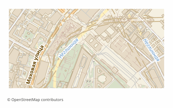
Vormingu MIF kohta
MIF/MID is MapInfo's text interchange format: geometry and column definitions live in the .mif file, and the attribute values themselves in the .mid, line by line. The format is documented and readable in an ordinary text editor, which is why it has been used for decades as a neutral go-between for GIS: MapInfo Pro, QGIS, Global Mapper and FME read it without plugins.
In Russia MIF/MID is still found in municipal and cadastral workflows: development, boundary and road network layers are accepted and issued in it. Exporting OSM into this format saves you from digitizing the base by hand — the data arrives right away in the shape the receiving side opens natively.
The output is a ZIP archive: a pair of .mif and .mid files per layer plus a README.txt naming the coordinate system. The pairs must be kept together: without the .mid the layer opens with no attributes. Coordinates are in WGS84 (EPSG:4326) by default, and another projection can be chosen at export time. The files are built by the ogr2ogr utility in MapInfo File mode with an explicit FORMAT=MIF, and if a layer fails to convert it is honestly marked as failed — the service does not slip you a binary TAB under a .mif name.
Milline programm avab MIF-faile
Järgmised programmid ja rakendused suudavad avada, redigeerida ning töödelda OSM2CDR-ist eksporditud MapInfo MIF/MID (.mif) faile:
Format specifications
- Open standard
- 2D only
- Lossless (no quality loss)
- Stores feature attributes
- Output: 2 files in archive
- MapInfo Interchange Format (.mif + .mid in ZIP). Documented text-based format. Opens in MapInfo Pro, QGIS.
Kes kasutab MIF-kaarte
Kuidas eksportida vormingusse MIF
Kuidas pärast eksporti avada
- MapInfo Pro — File -> Open, file type "MapInfo Interchange (*.mif)"; the program picks up the paired .mid itself and offers to save the layer as a native TAB for further work.
- QGIS (free) — Layer -> Add Vector Layer -> pick the .mif. From there the layer can be styled and re-saved to SHP, GeoPackage or any other format.
- ogr2ogr (GDAL) — a one-off conversion without a GUI: ogr2ogr -f GPKG out.gpkg roads.mif builds the layer into a GeoPackage.
- Global Mapper or FME — if the MIF/MID has to be poured into someone else's data exchange pipeline with reprojection and field renaming.
- Before sending it to the client — unpack the whole archive: the .mif + .mid pair must sit in one folder, otherwise the attributes are lost.
Populaarsed kaardid vormingus MIF
Hangi kaardiekspordid vormingus MapInfo MIF/MID
Laadi alla professionaalsed MIF-kaardid OpenStreetMapi andmetest. Kohene genereerimine, mis tahes ala.
Korduma kippuvad küsimused
Seotud vormingud
Sageli koos eksporditavad vormingud
Related Articles
Одиннадцать проверок выгрузки: СК, комплект файлов и обменные форматы
formatHow to open MIF/MID (MapInfo) and GML — or download the map in a familiar format
Got .mif/.mid or .gml files and not sure how to open them? QGIS and GDAL read them for free. And if the format is inconv
formatMIF/MID (MapInfo Interchange) format: ASCII exchange since 1990 — OSM export for legacy GIS
MIF/MID from MapInfo Corp 1990: ASCII 2-file pair, REGION/PLINE/ARC geometry, GDAL MITAB, legacy GIS archives.