osm2cdr.ru
Map of Jiangsu
Jiangsu
China
N
© OpenStreetMap
Boundary · China · OpenStreetMap
BuildingsRoadsWaterGreeneryBoundary
Ready map · OSM data

Map of Jiangsu

Region · China · 131,720 km2

A ready-made vector map with buildings, roads and features — for CAD, GIS and print. Instant download, no registration.

Choose a format
Download · PDF, ≈ 528 KB
All 133 formats Customize your area
133 formatsOSM datano registrationready instantly

Map passport

131,720 km2
Area
350 609
Buildings
43 100
Points of interest
Customize the map for yourself

Open the area of Jiangsu in the constructor and change layers, style, format and coordinate system for your task.

Open in constructor

Map defaults

This is how the map is built by default — every parameter can be changed in the constructor.

Format
PDF .pdfchoose
Layers
Roads, Buildings, Water, Greenery, POIchange
Style
Standard (colour)change
Detail
overview (auto)change
House numbers
not visible at this scalechange
Points of interest
not visible at this scalechange
Coordinate system
WGS 84 (auto)change
Sheet size
Relief and grid

Download the map of Jiangsu in 133 formats

The same OpenStreetMap dataset — in the format for your software. Pick by task: CAD, vector, GIS, 3D or print.

Popular formatsthe most common formats
MOST COMMON
PDFfor printing and viewing.pdf · ≈ 10.2 MB
CDRfor CorelDRAW.cdr · ≈ 1.6 MB
SVGfor Illustrator, Inkscape, web.svg · ≈ 12 MB
GeoJSONfor QGIS and web maps.geojson · ≈ 15.3 MB
DWGfor AutoCAD, nanoCAD, BricsCAD.dwg · ≈ 4.4 MB
CADdrafting and design
DWGFREE
AutoCAD.dwg · ≈ 227 KB
DXFFREE
CAD exchange.dxf · ≈ 1.9 MB
CDRFREE
CorelDRAW.cdr · ≈ 81 KB
DGNFREE
MicroStation.dgn · ≈ 361 KB
Vectorillustration and web
SVGFREE
Web · vector.svg · ≈ 618 KB
AIFREE
Illustrator.ai · ≈ 507 KB
EPSFREE
Print production.eps · ≈ 495 KB
PDFFREE
Vector · print.pdf · ≈ 528 KB
GISgeo-referenced data
GeoJSONFREE
GIS · data.geojson · ≈ 789 KB
ShapefileFREE
QGIS · ArcGIS.shp · ≈ 100 KB
KMLFREE
Google Earth.kml · ≈ 762 KB
GeoPackageFREE
GeoPackage.gpkg · ≈ 434 KB
3Dvolume and models
STLFREE
3D printing.stl · ≈ 35 KB
OBJFREE
3D model.obj · ≈ 13 KB
glTFFREE
3D · web.gltf · ≈ 25 KB
DAEFREE
Collada.dae · ≈ 23 KB
Printraster and layouts
PNGFREE
Raster · transparency.png · ≈ 415 KB
JPGFREE
Raster.jpg · ≈ 106 KB
PDFFREE
Print layout.pdf · ≈ 528 KB
TIFFFREE
Print production.tif · ≈ 985 KB
Open all 133 formats

Maps of China

All places within the territory — every map is ready to download.

Neighbouring places and regions

Browse to neighbouring cities, districts and regions — each has a ready-made vector map in the same formats.

Other places in China

ZangqinggongyeyuanxiangHong KongAnhuiChongqingFujianGansuGuangdongGuangxiGuizhouHainanHebeiHeilongjiangHenanHubeiHunanInner MongoliaJiangxiJilinLiaoningNingxiaQinghaiShaanxiShandongShanxiSichuanTibetXinjiangYunnanZhejiangShanghai
All places in China

Nearby

Shanghai24 870 895 · 276 km · CitySuzhou12 748 262 · 218 km · CityHangzhou10 360 000 · 311 km · CityQingdao10 071 722 · 356 km · CityHefei9 369 881 · 231 km · CityNanjing9 314 685 · 116 km · CityWeifang9 277 200 · 416 km · CityJinan9 202 432 · 458 km · City

Neighboring regions

ZangqinggongyeyuanxiangCityHong KongRegionAnhuiRegionChongqingRegionFujianRegionGansuRegionGuangdongRegionGuangxiRegionGuizhouRegionHainanRegion
350 609buildings
43 100features
133formats
WGS 84coordinate system

What's inside the map of Jiangsu

The map covers the entire area of Jiangsu within administrative boundaries — 131,720 km2. Green areas cover 1.7% of the territory. Each layer can be turned on or off before download.

350 609buildings
Buildings on separate layers
residential113791
commercial6197
industrial10135
43 100POI
Points of interest
sports pitches8 659
parking6 189
parks4 675
Main streets
滨通线江北沿江公路丹宝明线射宜线盐锡线海滁线
Landmarks · 6
过云楼陈列馆
Literature museum zhongshan
宿迁市博物馆
宿迁市古代文房用品博物馆
清代布业公所旧址
中国南社纪念馆

What the map of Jiangsu looks like

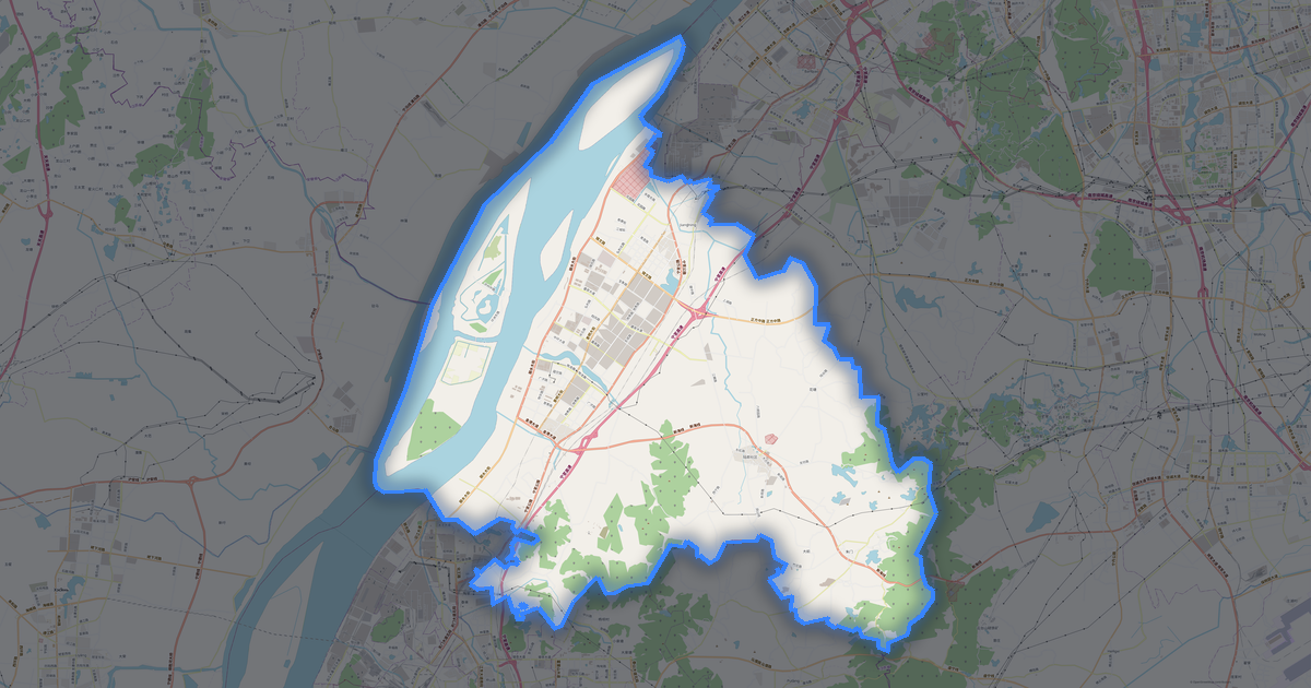
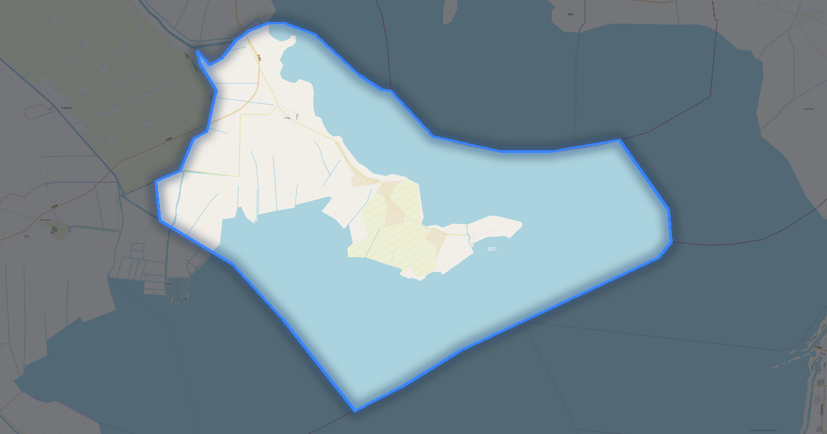
The same place in three render styles. Buildings, roads, water and greenery carry over into every format losslessly.

Blueprint (CAD) — map of Jiangsu
Blueprint (CAD)
Outlines on a dark background — for DWG and DXF
Standard vector — map of Jiangsu
Standard vector
A colour map with buildings, roads and greenery
Print layout — map of Jiangsu
Print layout
A ready layout for PDF and print production

Place scores

Composite indices from OpenStreetMap data: how comfortable it is to live here, walk, use transit and greenery.

Livability
3Room to grow
A composite index out of 100
Greenery
15/100
Room to grow
Connectivity
23/100
Developing

Infrastructure of Jiangsu

What's on the territory according to OpenStreetMap data.

4 574
Dining
5 459
Shops
1 315
Hotels
35 582
Transport
1 906
Parks
3 143
Water

Density and saturation

How many features there are per square kilometre — according to OpenStreetMap data.

3
bld/km²
0
POI/km²
1,7%
greenery

How the map is used

The same dataset for Jiangsu — for different tasks: from drafting to 3D printing.

Architecture and design
An underlay and building outlines for drawings and layouts.
DWG / DXF
Design and illustration
A vector map base for posters, schemes and identity design.
SVG / AI
GIS and analysis
Geo-referenced layers for QGIS, ArcGIS and spatial analysis.
GeoJSON / SHP
3D printing and models
Relief of buildings and terrain for printing and visualization.
STL
Navigation and tracks
Map data for navigators and route apps.
Garmin
Print and publishing
A ready map layout for print production.
PDF

Landmarks

Museums, monuments and notable places of Jiangsu according to OpenStreetMap data — each with a link to the map.

🏛️
过云楼陈列馆
MuseumOSM
🏛️
Literature museum zhongshan
MuseumOSM
🏛️
宿迁市博物馆
MuseumOSM
🏛️
宿迁市古代文房用品博物馆
MuseumOSM
🏛️
清代布业公所旧址
MuseumOSM
🏛️
中国南社纪念馆
MuseumOSM
🏛️
常州纺织博物馆
MuseumOSM
🏛️
牛啤酒世界精酿啤酒博物馆(建邺吾悦分馆)
MuseumOSM
🏛️
张謇纪念馆
MuseumOSM
🏛️
作坊博物馆
MuseumOSM
🏛️
扬州中国雕版印刷博物馆
MuseumOSM
🏛️
李公朴故居
MuseumOSM
🏛️
无锡民族工商业博物馆
MuseumOSM
🏛️
义风园(五人幕)
MuseumOSM
🏛️
三台山动植物标本馆
MuseumOSM
🏛️
金坛区民防教育体验馆
MuseumOSM
🏛️
常州大运河历史陈列馆
MuseumOSM
🏛️
江苏美术馆
MuseumOSM
🏛️
苏州阳澄湖舟船文化馆
MuseumOSM
🏛️
泗阳县博物馆
MuseumOSM
🏛️
宿迁市气象科普馆
MuseumOSM
🏛️
风云楚国八百年
MuseumOSM
🏛️
矿山历史记忆馆
MuseumOSM
🏛️
宿迁市消防科普教育基地
MuseumOSM

Nature and green areas

Parks, squares and water bodies of Jiangsu according to OpenStreetMap data — everything is carried into the map as separate layers.

4642,4
km² of greenery
1,7%
green coverage
1 906
parks
3 143
water bodies
Parks and squares
南京市无想山国家森林公园 · 2 397 ha
江苏三台山国家森林公园 · 1 290 ha
潘安湖国家湿地公园 · 887 ha
止马岭 · 850 ha
赤山湖国家湿地公园 · 738 ha
Water bodies
太湖 · lake
洪泽湖 · lake
高邮湖 · lake
微山湖 · lake
骆马湖 · lake
京杭大运河 · canal
长江 · river
黄河故道 · river

Public transport

Stops and stations according to OpenStreetMap data.

32 669
bus stops
350
rail stations
1 630
tram stops
933
metro stations

Public transport of Jiangsu includes 32 669 bus stops, 350 rail stations, 1 630 tram stops and 933 metro stations. All stops and stations are included in the map as a separate layer.

Streets and roads

Roads classified by type — according to OpenStreetMap data.

Named streets
滨通线 · 319,8 km
江北沿江公路 · 305,6 km
丹宝明线 · 203,7 km
射宜线 · 197,9 km
盐锡线 · 191,6 km
海滁线 · 191 km
东大线 · 183,1 km
阜泰线 · 179,9 km

Restaurants and cafés

Food and drink venues according to OpenStreetMap data.

2 181
restaurants
1 088
cafés
254
bars
1 051
fast food

In Jiangsu, OpenStreetMap records 4 574 food and drink venues — restaurants, cafés, bars and fast-food outlets.

Shops and retail

Retail according to OpenStreetMap data.

5 459
shops

In Jiangsu, OpenStreetMap records 5 459 shops and retail outlets. Main categories: Convenience, Supermarkets, Clothes, Malls, Shops, Car Dealers.

Convenience689Supermarkets625Clothes543Malls463Shops305Car Dealers176Bakeries155Mobile Phones150Greengrocer149Car Repair139

Education

Schools, universities and libraries according to OpenStreetMap data.

4 086
schools
480
universities
169
libraries
1 369
kindergartens

Universities: MBA教育中心, NTU Geographical Science College, 三江学院东校区, 三江学院竹山路校区, 三江学院(南校区), 世界联合书院常熟分院(常熟世联学校), 东南大学成贤学院, 中共南京市溧水区委党校.

Healthcare

Hospitals, pharmacies and clinics according to OpenStreetMap data.

905
hospitals
196
pharmacies
296
clinics

Where to stay

Hotels, hostels and guest houses according to OpenStreetMap data.

1 315
accommodation places
Hotels and guest houses
全季酒店 · Hotel
陆家荘酒店 · Hotel
九洲环宇大酒店 · Hotel
Le Méridien Yixing · Hotel
格林暖语情景酒店 · Hotel
尚客优品宿迁湖滨新区三台山公园酒店 · Hotel
御水温泉客栈 · Hotel
溧阳创智逸嘉酒店 · Hotel

What's on the map

Each layer of the Jiangsu map can be turned on or off before download.

Map layers
Buildings: 350 609
Points of interest: 43 100
Green areas: 4642,4 km²

Key figures

A summary based on OpenStreetMap data for Jiangsu.

Buildings350 609
Residential buildings113 791
Commercial buildings6 197
Green areas4642,4 km²
Green coverage1,7%
Food and drink venues4 574
Shops5 459
Points of interest43 100
Bus stops32 669
Rail stations350
Hospitals905
Pharmacies196
Landmarks100

About Jiangsu

Jiangsu is a ready-made vector map based on OpenStreetMap data. It is not an image but structured layers of buildings, roads, water bodies, greenery and points of interest that can be edited in any professional software. The territory belongs to the «China» region and covers an area of 131,720 km2 within administrative boundaries.

The map includes 350 609 buildings and 43 100 points of interest. Each layer can be turned on or off before download, and the data preserves the original OpenStreetMap classification. Green areas cover about 1.7% of the territory.

The map works well as an underlay in AutoCAD and CorelDRAW, for loading layers into QGIS and ArcGIS, preparing printed schemes and plans, or as a basis for design and navigation. More than 130 formats are available — from DWG, DXF and SVG to GeoJSON, Shapefile and 3D models, in the WGS 84 coordinate system.

Frequently asked questions

Open osm2cdr.com, select the target area on the map, choose a format, and start export. Most maps are ready in 1-5 minutes.
Map of Jiangsu is available in 133 formats: CDR, DWG, DXF, SVG, AI, EPS, PDF, PNG, GeoJSON, KML, Shapefile, GeoTIFF and others.
Yes. The full map of Jiangsu is free to export during Open Beta — all 133 formats, no area limits, no registration.
The service uses OpenStreetMap data, updated monthly.
Generation time depends on the area size. You will receive an email notification when ready.