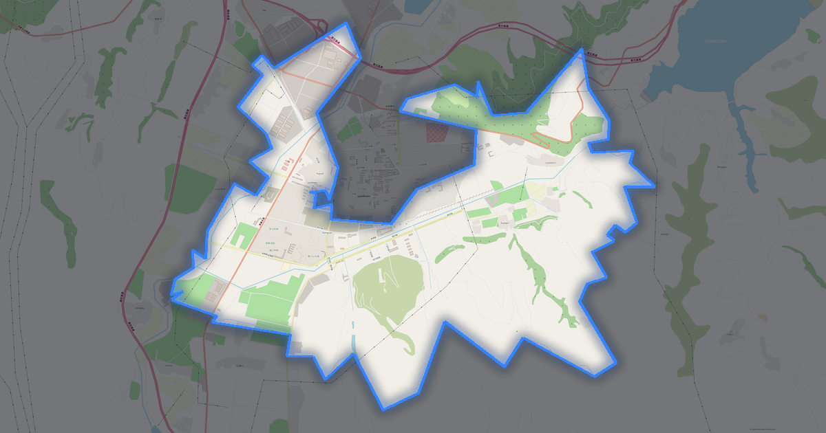
Map of Pingliang
City · Gansu · 11,116 km2
A ready-made vector map with buildings, roads and features — for CAD, GIS and print. Free, no registration.
Map passport
Open the area of Pingliang in the constructor and change layers, style, format and coordinate system for your task.
Open in constructorMap defaults
This is how the map is built by default — every parameter can be changed in the constructor.
Download the map of Pingliang in 134 formats
The same OpenStreetMap dataset — in the format for your software. Pick by task: CAD, vector, GIS, 3D or print.
Maps of Gansu
All places within the territory — every map is ready to download.
Major cities · 48




Cities · 136


Villages and settlements · 151


Neighbouring places and regions
Browse to neighbouring cities, districts and regions — each has a ready-made vector map in the same formats.
Other places in Gansu

About Pingliang
Analytical Portrait: Pingliang Pingliang is a spacious city spanning 11,115.9 km², where buildings alternate with open spaces. Green areas cover 24.0% of the city. An extensive public transport network (154 stops) provides high mobility.
Strengths 64/100 Connectivity Average road network connectivity 49/100 Green Coverage Moderate green coverage 19/100 Safety Safety infrastructure needs improvement Interesting Facts 🛣️ The total road length of Pingliang (13,960 km) is like a round trip from Moscow to Vladivostok.
What's inside the map of Pingliang
The map covers the entire area of Pingliang within administrative boundaries — 11,116 km2. Green areas cover 24% of the territory. Each layer can be turned on or off before download.
What the map of Pingliang looks like
The same place in three render styles. Buildings, roads, water and greenery carry over into every format losslessly.
Place scores
Composite indices from OpenStreetMap data: how comfortable it is to live here, walk, use transit and greenery.
Infrastructure of Pingliang
What's on the territory according to OpenStreetMap data.
Density and saturation
How many features there are per square kilometre — according to OpenStreetMap data.
How the map is used
The same dataset for Pingliang — for different tasks: from drafting to 3D printing.
Landmarks
Museums, monuments and notable places of Pingliang according to OpenStreetMap data — each with a link to the map.
Nature and green areas
Parks, squares and water bodies of Pingliang according to OpenStreetMap data — everything is carried into the map as separate layers.
Public transport
Stops and stations according to OpenStreetMap data.
Public transport of Pingliang includes 135 bus stops and 19 rail stations. All stops and stations are included in the map as a separate layer.
Streets and roads
Roads classified by type — according to OpenStreetMap data.
The street network of Pingliang — 13 961 km of roads according to OpenStreetMap data, classified by type.
Restaurants and cafés
Food and drink venues according to OpenStreetMap data.
In Pingliang, OpenStreetMap records 3 food and drink venues — restaurants, cafés, bars and fast-food outlets.
Shops and retail
Retail according to OpenStreetMap data.
In Pingliang, OpenStreetMap records 79 shops and retail outlets. Main categories: Clothes, Car Dealers, Jewelry, Malls, Convenience, Shoes.
Education
Schools, universities and libraries according to OpenStreetMap data.
Schools: 东大街小学, 二天门小学, 农业学校, 华亭第二中学, 南台回民小学, 双明村小学, 城关初中, 大岭小学. Universities: 平凉市亚东职业学校, 甘肃医学院, 静宁县职教中心简介. Libraries: 图书馆.
Healthcare
Hospitals, pharmacies and clinics according to OpenStreetMap data.
Hospitals of Pingliang: 华亭县第一人民医院, 崇信县中医院, 平凉市人民医院, 平凉市妇幼保健院, 平凉第二人民医院, 泾川县中医医院, 泾川县人民医院, 灵台县人民医院.
Where to stay
Hotels, hostels and guest houses according to OpenStreetMap data.
What's on the map
Each layer of the Pingliang map can be turned on or off before download.
Key figures
A summary based on OpenStreetMap data for Pingliang.