
TIFF (Tagged Image File Format)
Open BetaTIFF és un format ràster d'alta qualitat amb compressió sense pèrdues. Ideal per a la impressió professional i l'arxivament de mapes. Admet alta resolució i colors CMYK.
Característiques clau
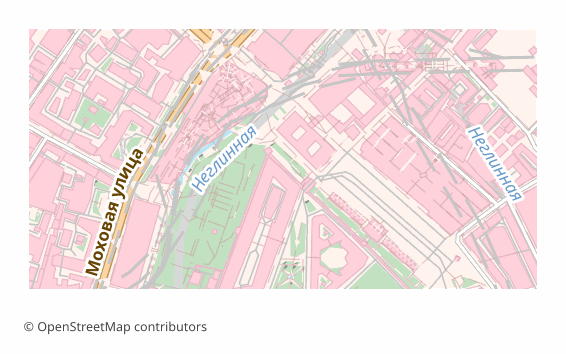
Sobre el format TIFF
TIFF is a raster format that has stayed the working standard of print and archives since the 1980s: lossless compression, any image dimensions, support for high resolutions. It is opened by Photoshop, GIMP, Affinity Photo, the standard macOS viewer and just about any image editor.
A map is exported to TIFF when you need a final shot for printing or long-term storage: a poster for the wall, an illustration for a book, an appendix to a report. Unlike JPEG, TIFF loses no pixels when re-saved, so the file calmly survives several rounds of edits.
The output is a single .tiff rendered through QGIS at 300 DPI (the value can be changed at export time). This is an image and nothing more: layers, labels and objects are already flattened and cannot be edited. There is no georeferencing inside — if the map has to go into a GIS on top of other data, take GeoTIFF.
Quin programa obre els fitxers TIFF
Els programes i les aplicacions següents poden obrir, editar i treballar amb fitxers TIFF (Tagged Image File Format) (.tiff) exportats des d'OSM2CDR:
Format specifications
- Open standard
- 2D only
- Lossless (no quality loss)
- No attributes
- Output: 1 file
- TIFF 6.0 baseline (no georeferencing). For high-resolution print exports. Opens in Photoshop, GIMP, Lightroom.
Qui utilitza els mapes TIFF
Com exportar TIFF
Com obrir el fitxer després de l'exportació
- Photoshop and Affinity Photo — File → Open; check the size in pixels and the resolution, and for a print house convert the file to CMYK or simply download a CMYK TIFF from us.
- GIMP — opens TIFF with no plugins; handy for adding a caption, an inset or a frame before printing.
- InDesign, Word, LibreOffice — place it as an illustration; make sure the picture is not stretched beyond 100%, otherwise the effective resolution drops.
- The print house — check their requirements in advance: usually CMYK and 300 DPI at the final size are needed; an RGB file gets converted by the printer itself and the color may drift.
- QGIS — if georeferencing turns out to be needed, a TIFF can be referenced by hand (Raster → Georeferencer), or the map can be re-downloaded as GeoTIFF.
Mapes populars en TIFF
Obtingues exportacions de mapes TIFF (Tagged Image File Format)
Descarrega mapes TIFF professionals d'OpenStreetMap. Generació instantània, qualsevol àrea.
Preguntes freqüents
Formats relacionats
Sovint exportats junts
Related Articles
Download a GeoTIFF by coordinates: a base map for exactly the area you need
How to download a GeoTIFF map by coordinates: what a georeferenced raster is, how to set the area bounds, choose a coord
usecaseMaps for Academic Papers: Standards and Formats
How to prepare maps for dissertations: scale, legends, PDF/SVG format, fonts. Step-by-step guide with examples for acade
formatTIFF — Aldus and Adobe Extensible Raster Format for Print and Archival
TIFF is a tag-based raster format from Aldus (1986, Adobe 1994): TIFF 6.0 (1992), multi-page, lossless LZW/Deflate, BigT