
WMF — Windows Metafile (legacy)
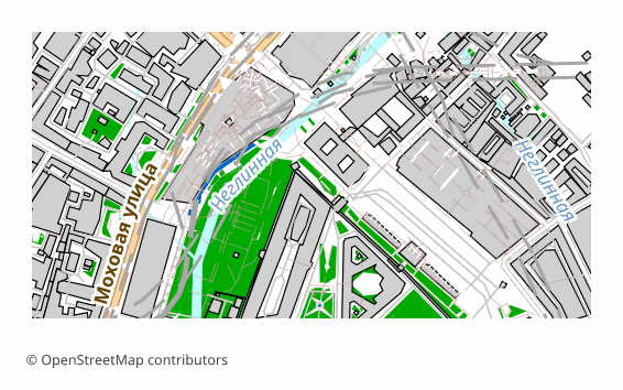
Price before paymentWMF (Windows Metafile) is Windows' 16-bit vector format from 1990, still alive in the Office clipboard and in legacy documents. Our exporter writes WMF directly, without Inkscape: the map is rendered through QGIS to SVG, paths are parsed into polylines and encoded as Placeable WMF records. Honest about the format limits: coordinates are 16-bit (±32767), so large maps are clamped into the coordinate space with some precision loss, and the output is stroked outlines without fills or labels. WMF is chosen for compatibility with old Word and Visio versions.
OpenStreetMap data as of 26 October 2026 · 26 days ago
মূল বৈশিষ্ট্য
WMF ফরম্যাট সম্পর্কে
WMF is a Windows vector format from the late 1980s that has survived to this day in the Office clipboard and in old documents. It is 16-bit: coordinates fit into a range of roughly minus 32 to plus 32 thousand units, and that determines all of its behavior.
It is taken for exactly one reason — compatibility. If a map has to go into a document that is opened in Word 2003 or in earlier generations of Visio, and every other format breaks there, WMF will work.
We write the file directly, without Inkscape: the map is rendered to SVG, the paths are broken down into polylines and encoded as Placeable WMF records with a correct header and scale. The output is line work: there are no fills and no labels in the file, and over a large area small geometry gets rounded off because of the cramped coordinate space.
That is why WMF is the format of last-resort compatibility. If the receiving side allows anything else, EMF, SVG or PDF will give you fills, text and precision.
কোন প্রোগ্রাম WMF ফাইল খোলে
নিম্নলিখিত প্রোগ্রাম ও অ্যাপ্লিকেশনগুলি OSM2CDR থেকে এক্সপোর্ট করা WMF — Windows Metafile (legacy) (.wmf) ফাইল খুলতে, সম্পাদনা করতে ও এর সাথে কাজ করতে পারে:
Format specifications
- Proprietary format
- 2D only
- Lossless (no quality loss)
- No attributes
- Output: 1 file
- A 16-bit Placeable Windows Metafile (magic 0x9AC6CDD7) from QGIS -> SVG -> polylines; coordinates clamped to +-32767 with some precision loss, stroked outlines only.
কারা WMF মানচিত্র ব্যবহার করেন
কীভাবে WMF এক্সপোর্ট করবেন
এক্সপোর্টের পর কীভাবে খুলবেন
- Microsoft Word and PowerPoint — Insert → Pictures; the map will land as a vector object and will scale without losing sharpness.
- Visio — insert the image, then ungroup it (Ctrl+Shift+U): the lines become ordinary shapes of the document.
- LibreOffice Draw — opens .wmf directly, handy when the document travels between Windows and Linux.
- CorelDRAW or Inkscape — import for further work: fill the outlines, add labels, export onward to PDF or SVG.
- If the map looks sparse — it is: WMF gives line work only. For a full-fledged vector map go to SVG, PDF or EMF.
WMF — Windows Metafile (legacy) মানচিত্র এক্সপোর্ট পান
OpenStreetMap থেকে পেশাদার মানের WMF মানচিত্র ডাউনলোড করুন। যেকোনো এলাকার জন্য তাৎক্ষণিক প্রস্তুতি।
প্রায়শই জিজ্ঞাসিত প্রশ্ন
What people who already downloaded say
Finally, maps can be downloaded as vectors. Thanks to the author!
Map: Ufa, AI
everything is really cool, I didn't expect I'd just come and download a piece of the map! thanks!!!
Map: Nizhny Novgorod, PMTiles
HUGE THANKS!!! A VERY GOOD PROGRAM!!! I was looking for a vector map where 3 countries meet - it helped a lot!!
Map: Kazakhstan and Altai, PDF
Well done! You've done a big and much-needed job!
Map: Roshchino, Leningrad Region, GeoTIFF
Ivan, thank you so much! Not just a man - a Great Man!
Map: Saratov Region, GeoJSON
ivan, you're simply a wonder. Thank you for an incredibly cool service
Map: Bogashevo near Tomsk, DXF