
Autodesk DWF (Design Web Format)
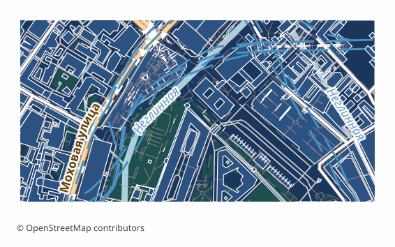
Price before paymentbetaDWF (Design Web Format) is an Autodesk format for publishing and viewing design data without editing. Our exporter writes a true DWF 6 ePlot: the ASCII version prefix, a ZIP with the manifest and the sheet descriptor, and graphics as a binary W2D opcode stream — the same one AutoCAD itself writes. The map is fitted to an A3 sheet with its proportions kept: layers (roads, buildings, water, greenery, landuse) stay separate, each in its own color, background areas are filled while buildings and roads are outlined, and street names and house numbers are written as Unicode text. The file opens in Autodesk Design Review and attaches as an underlay in AutoCAD.
OpenStreetMap data as of 26 October 2026 · 26 days ago
মূল বৈশিষ্ট্য
DWF ফরম্যাট সম্পর্কে
DWF is an Autodesk format for publishing project data: it was invented to show drawings to a client and to related trades without handing over the source DWG. Physically it is a ZIP archive with a manifest and graphic sections inside.
Our export is a finished sheet for viewing rather than an editable drawing: that is what the format was made for. The package holds a manifest, a sheet descriptor and a W2D stream, where the OSM layers — roads, buildings, water, greenery, landuse — lie separately, each with its own color, and the geometry is written as polylines, polygons and text labels.
The graphics are written as a true binary W2D opcode stream — the same one AutoCAD itself writes — so the file opens in Autodesk Design Review and attaches as an underlay in AutoCAD. The map is fitted to an A3 sheet with its proportions kept and printing margins in place; street names and house numbers are text, with Cyrillic native. A DWF cannot be edited by design: if you need a working drawing, take DWG or DXF.
কোন প্রোগ্রাম DWF ফাইল খোলে
নিম্নলিখিত প্রোগ্রাম ও অ্যাপ্লিকেশনগুলি OSM2CDR থেকে এক্সপোর্ট করা Autodesk DWF (Design Web Format) (.dwf) ফাইল খুলতে, সম্পাদনা করতে ও এর সাথে কাজ করতে পারে:
Format specifications
- Proprietary format
- 2D only
- Lossless (no quality loss)
- No attributes
- Output: 1 file
- A true Autodesk DWF 6 ePlot: a ZIP behind the version prefix with manifest.xml and a sheet descriptor, graphics as a binary W2D opcode stream; the map is fitted to an A3 sheet, street names and house numbers included.
কারা DWF মানচিত্র ব্যবহার করেন
কীভাবে DWF এক্সপোর্ট করবেন
এক্সপোর্টের পর কীভাবে খুলবেন
- Autodesk Design Review — try opening the file first thing: that shows right away whether it suits your viewer.
- Any archiver — rename the extension to .zip and unpack it: inside are manifest.xml and the graphic section, and the structure is easy to study by eye.
- Labels — check the street names and house numbers: they are stored as text, not as a picture, and read as such in the viewer.
- If you need a working drawing — download DWG or DXF: they open in AutoCAD, BricsCAD, NanoCAD and KOMPAS with no reservations.
Autodesk DWF (Design Web Format) মানচিত্র এক্সপোর্ট পান
OpenStreetMap থেকে পেশাদার মানের DWF মানচিত্র ডাউনলোড করুন। যেকোনো এলাকার জন্য তাৎক্ষণিক প্রস্তুতি।
প্রায়শই জিজ্ঞাসিত প্রশ্ন
What people who already downloaded say
Finally, maps can be downloaded as vectors. Thanks to the author!
Map: Ufa, AI
everything is really cool, I didn't expect I'd just come and download a piece of the map! thanks!!!
Map: Nizhny Novgorod, PMTiles
HUGE THANKS!!! A VERY GOOD PROGRAM!!! I was looking for a vector map where 3 countries meet - it helped a lot!!
Map: Kazakhstan and Altai, PDF
Well done! You've done a big and much-needed job!
Map: Roshchino, Leningrad Region, GeoTIFF
Ivan, thank you so much! Not just a man - a Great Man!
Map: Saratov Region, GeoJSON
ivan, you're simply a wonder. Thank you for an incredibly cool service
Map: Bogashevo near Tomsk, DXF