
OsmAnd OBF
Open BetaOsmAnd OBF is die vanlyn-kaartformaat vir die OsmAnd-mobieletoepassing (Android/iOS). Dit bevat vektorkaarte, POI, adresse en 'n vervoernetwerk vir vanlyn-navigasie. Die lêer word via 'n lêerbestuurder in OsmAnd gelaai.
Sleutelkenmerke
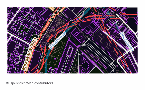
Oor die OsmAnd OBF-formaat
OBF is the offline map format of the OsmAnd app (Android and iOS). A single binary file holds a vector map, a routing graph, an address index and a points-of-interest database, packed so that the phone draws and searches through them quickly without internet.
The export is chosen when OsmAnd's built-in maps are not enough or you need exactly your own area: a hike into a region with no signal, a trip abroad, field work. Unlike a raster offline layer, a vector map in OsmAnd switches display themes, builds routes and searches addresses right on the device.
The file is built on the server with OsmAnd's own toolchain: the layers are exported into an intermediate format, and then OsmAndMapCreator (Java) builds an .obf out of them with map, routing, address and points-of-interest indexes. The finished file is copied into the app's folder and appears in the map list alongside the official ones — the quality of routing then depends on how complete the road data is in the selected area.
Watter program open OsmAnd OBF-lêers
Die volgende programme en toepassings kan OsmAnd OBF (.obf)-lêers wat uit OSM2CDR uitgevoer is, open, redigeer en daarmee werk:
Format specifications
- Open standard
- 2D only
- Lossless (no quality loss)
- Stores feature attributes
- Output: 1 file
- OsmAnd Binary File (.obf, open spec). Offline maps for OsmAnd app on Android/iOS with routing graph + POIs.
Wie gebruik OsmAnd OBF-kaarte
Hoe om OsmAnd OBF uit te voer
Hoe om dit ná uitvoer te open
- OsmAnd on Android — copy the .obf into the app's maps folder (OsmAnd/files) with a file manager or a cable and restart the program: the map appears in the list.
- OsmAnd on any platform — a second route with no folder fiddling: open the file through "Share" or the built-in import under "My Places" and confirm installing the map.
- OsmAnd on iOS — hand the file to the app through "Files" or "Open in...": the iOS version imports .obf the same way.
- Checking it — in the "Configure map" menu and in search: if the map is in place, the area is drawn as vector data and search starts finding addresses and points of interest from the export.
- OsmAndMapCreator on a computer — if you like, open the .obf and see what is inside before moving it to the phone.
Gewilde kaarte in OsmAnd OBF
Kry OsmAnd OBF-kaartuitvoere
Laai professionele OsmAnd OBF-kaarte van OpenStreetMap af. Onmiddellike generering, enige gebied.
Gereelde vrae
Verwante formate
Dikwels saam uitgevoer
Related Articles
OSM maps for Navitel — and what to download for Garmin, OsmAnd, TomTom
Need OSM maps for Navitel? Honestly: we don't produce the native .nm7, but Navitel imports GPX — we show the steps. Plus
guideOffline Maps for Smartphone: OsmAnd, Organic Maps, Maps.me
How to prepare and load offline maps for travel without internet. OsmAnd, Organic Maps, Maps.me comparison — which to ch
formatOsmAnd OBF — Binary Format for Offline Navigation on Android and iOS
OsmAnd OBF is the proprietary binary format for OsmAnd Maps & Navigation: multi-zoom indexing, routing graph, POI; stand