Mapa Idangoda
Wieś · Sabaragamuwa Province · 5K
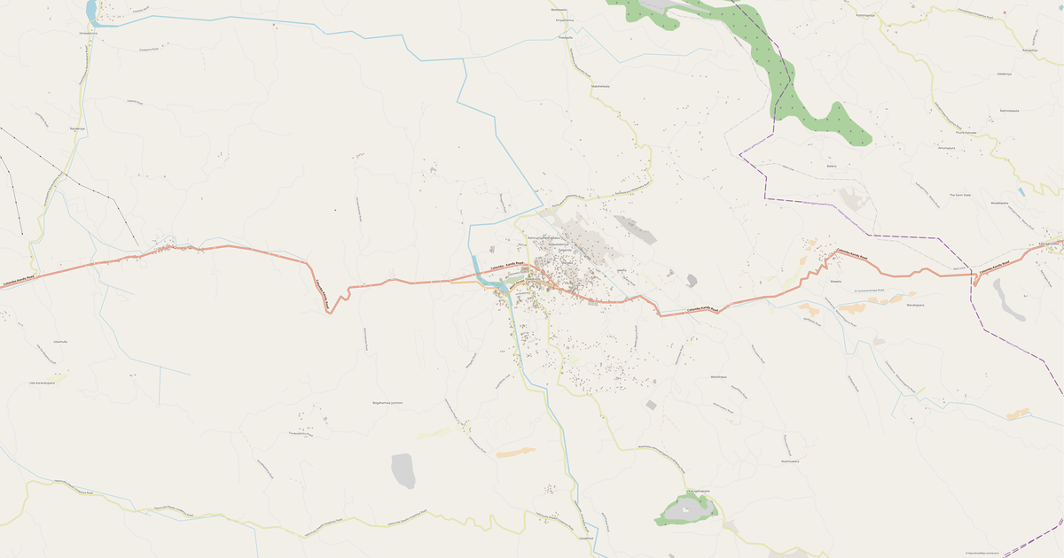
A ready-made vector map with buildings, roads and features — for CAD, GIS and print. Free, no registration.
Metryka mapy
Otwórz obszar Idangoda w kreatorze i zmień warstwy, styl, format oraz układ współrzędnych pod swoje zadanie.
Otwórz w kreatorzeCo jest na mapie domyślnie
Tak mapa jest budowana domyślnie — każdy parametr można zmienić w kreatorze.
Pobierz mapę Idangoda w 134 formatach
Ten sam zestaw danych OpenStreetMap — w formacie dla Twojego oprogramowania. Wybierz według zadania: CAD, wektor, GIS, 3D lub druk.
Mapy Sabaragamuwa Province
Pobliskie miasta i dzielnice — każda mapa gotowa do pobrania.


Sąsiednie miejsca i regiony
Przejdź do sąsiednich miast, dzielnic i regionów — każde ma gotową mapę wektorową w tych samych formatach.
Regiony: Sri Lanka
W pobliżu
Podobne miasta na świecie
Sąsiednie regiony

O Idangoda
Portret analityczny: Idangoda Idangoda rozciąga się na 19.9 km² i obejmuje 2,778 budynków. Tereny zielone pokrywają 90.2% obszaru — to jeden z najlepszych wskaźników wśród dużych miast. Mocne strony 43/100 Skomunikowanie Przeciętne skomunikowanie sieci drogowej 24/100 Pokrycie zielenią Niewystarczające pokrycie zielenią 9/100 Handel Ograniczona infrastruktura handlowa Ciekawostki 🛣️ Łączna długość dróg miasta Idangoda (100 km) to 100 km dróg.
🏗️ W mieście Idangoda przypada 0.56 budynków na jednego mieszkańca. 🌳 Każdy mieszkaniec miasta Idangoda ma do dyspozycji 3,584 m² terenów zielonych.
Co zawiera mapa Idangoda
Mapa obejmuje cały obszar Idangoda w granicach administracyjnych. Tereny zielone zajmują 90.2% obszaru. Każdą warstwę można włączyć lub wyłączyć przed pobraniem.
Jak wygląda mapa Idangoda
To samo miejsce w trzech stylach renderowania. Budynki, drogi, woda i zieleń przenoszą się do każdego formatu bezstratnie.
Oceny miejsca
Indeksy złożone na podstawie danych OpenStreetMap: jak wygodnie się tu mieszka, chodzi pieszo, korzysta z transportu i zieleni.
Infrastruktura Idangoda
Co znajduje się na terytorium według danych OpenStreetMap.
Jak używa się mapy
Ten sam zestaw danych Idangoda — do różnych zadań: od rysunku po druk 3D.
Atrakcje
Muzea, pomniki i znane miejsca Idangoda według danych OpenStreetMap — każde z linkiem do mapy.
Przyroda i tereny zielone
Parki, skwery i zbiorniki wodne Idangoda według danych OpenStreetMap — wszystko przenosi się na mapę jako osobne warstwy.
Transport publiczny
Przystanki i stacje według danych OpenStreetMap.
Transport publiczny Idangoda obejmuje 1 przystanków autobusowych. Wszystkie przystanki i stacje trafiają na mapę jako osobna warstwa.
Ulice i drogi
Drogi sklasyfikowane według typu — według danych OpenStreetMap.
Sieć uliczna Idangoda — 101 km dróg według danych OpenStreetMap, sklasyfikowanych według typu.
Restauracje i kawiarnie
Lokale gastronomiczne według danych OpenStreetMap.
W Idangoda OpenStreetMap odnotowuje 1 lokali gastronomicznych — restauracje, kawiarnie, bary i punkty fast food.
Sklepy i handel
Handel według danych OpenStreetMap.
W Idangoda OpenStreetMap odnotowuje 1 sklepów i punktów handlowych. Główne kategorie: Kosmetyki.
Edukacja
Szkoły, uczelnie i biblioteki według danych OpenStreetMap.
Szkoły: Galathura Maha Vidayalaya, Kiriella Central College.
Opieka zdrowotna
Szpitale, apteki i przychodnie według danych OpenStreetMap.
Szpitale Idangoda: Kiriella Hospital.
Co jest na mapie
Każdą warstwę mapy Idangoda można włączyć lub wyłączyć przed pobraniem.
Kluczowe dane
Podsumowanie na podstawie danych OpenStreetMap dla Idangoda.
Porównanie z sąsiadami
Jak miejsce wypada na tle sąsiadów w promieniu 30 kilometrów.
W promieniu 30 km — 467 miejsc do porównania.