Ontario 지도
지역 · Canada · 13.6M · 1.1M km2
A ready-made vector map with buildings, roads and features — for CAD, GIS and print. Download after signing in.
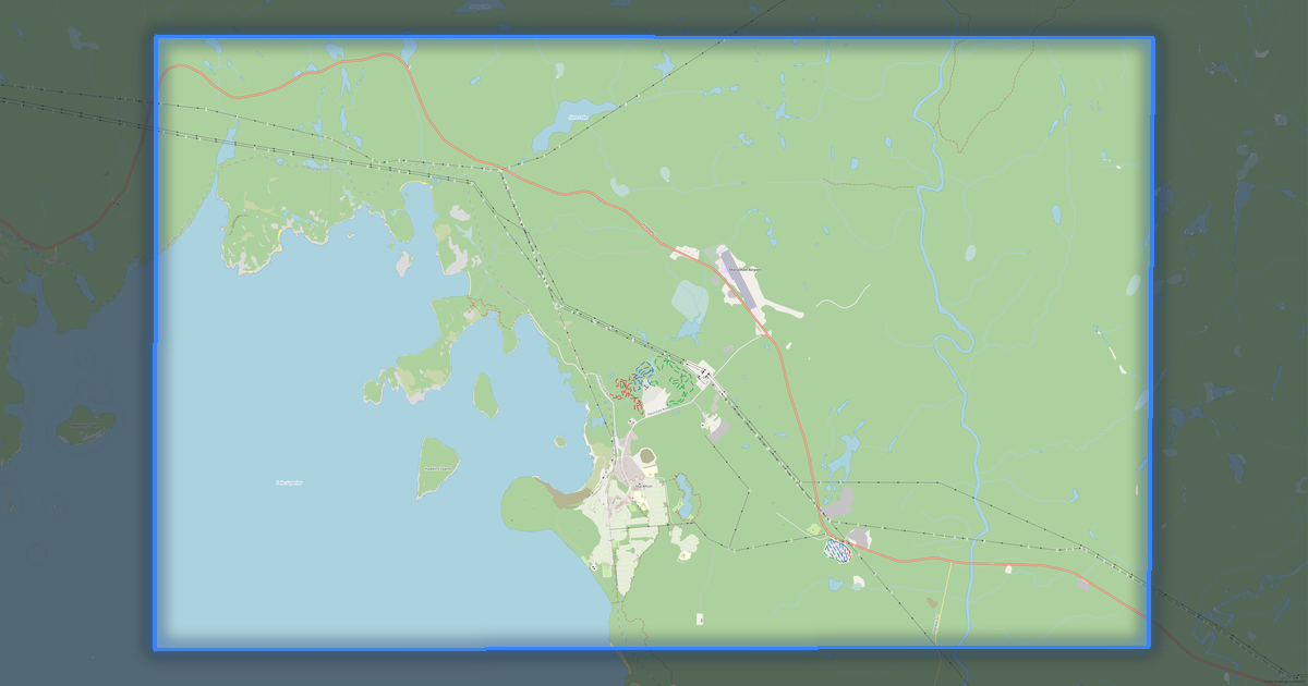
기본 지도 구성
이것이 기본 지도 구성입니다 — 모든 항목은 컨스트럭터에서 변경할 수 있습니다.
Ontario 지도를 140개 형식으로 다운로드
동일한 OpenStreetMap 데이터셋을 사용하는 소프트웨어에 맞는 형식으로. 용도로 선택하세요: CAD, 벡터, GIS, 3D, 인쇄.
Canada 지도
지역 내 모든 장소 — 모든 지도를 바로 다운로드할 수 있습니다.
구역 · 31


주요 도시 · 48




도시 · 258






인근 장소와 지역
인근 도시·지구·지역으로 이동하세요 — 각각 같은 형식의 완성형 벡터 지도가 있습니다.
Canada의 다른 지역
유사한 지역

Ontario 소개
Ontario은(는) OpenStreetMap 데이터를 기반으로 한 완성형 벡터 지도입니다. 이미지가 아니라 건물·도로·수역·녹지·관심 지점의 구조화된 레이어로, 모든 전문 소프트웨어에서 편집할 수 있습니다. 이 지역은 «Canada» 지방에 속하며 행정 경계 내에서 1.1M km2의 면적을 차지합니다.
이 지도는 AutoCAD와 CorelDRAW의 밑그림, QGIS와 ArcGIS로의 레이어 로드, 인쇄용 도식과 도면 준비, 디자인과 내비게이션의 기반으로 활용하기 좋습니다. DWG, DXF, SVG부터 GeoJSON, Shapefile, 3D 모델까지 WGS 84 좌표계로 130개 이상의 형식을 이용할 수 있습니다.
Ontario 지도의 모습
같은 장소를 세 가지 렌더링 스타일로. 건물·도로·수역·녹지가 모든 형식에 손실 없이 그대로 옮겨집니다.
Ontario의 인프라
OpenStreetMap 데이터 기준 지역 내 시설.
지도 활용 방법
동일한 Ontario 데이터셋을 제도부터 3D 프린팅까지 다양한 용도로.
자연과 녹지
OpenStreetMap 데이터 기준 Ontario의 공원·광장·수역 — 모두 개별 레이어로 지도에 담깁니다.
대중교통
OpenStreetMap 데이터 기준 정류장과 역.
Ontario의 대중교통에는 버스 정류장 35 678곳, 철도역 307곳, 트램 정류장 1 265곳 및 지하철역 70곳이(가) 있습니다. 모든 정류장과 역은 개별 레이어로 지도에 담깁니다.
교육
OpenStreetMap 데이터 기준 학교·대학·도서관.
의료
OpenStreetMap 데이터 기준 병원·약국·진료소.
숙박 장소
OpenStreetMap 데이터 기준 호텔·호스텔·게스트하우스.
주요 수치
Ontario의 OpenStreetMap 데이터 기반 요약.
인근과 비교
반경 30킬로미터 이내 인근과 이 장소를 비교.
반경 30 km 이내 비교 대상 0개 지점.