Map of Alberta in JPEG format
Download Alberta map in JPEG format. OpenStreetMap data, instant generation.
Map generation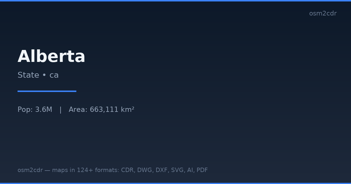
Map passport
Area663 111 km²
Buildings1 305 065
Roads277 774 km
Points of interest36 276
ProjectionWGS-84 (EPSG:4326)
LicenseODbL
Data sourceOpenStreetMap
About JPEG
JPEG is a universal photo format with adjustable compression. Compact map file for documents and web publishing.
Use cases
- Web publishing
- social media
- presentations
- email newsletters
| Category | GIS |
| File extension | .jpg |
| Tier | Free |
What's in the JPEG map of Alberta
1,305,065 buildings (455,815 residential, 10,524 commercial, 5,473 industrial, 558 religious), 277,774.2 km of roads, 36,276 points of interest, 15 landmarks.
Mostly unclassified roads 166,460.6 km, service roads 30,150.5 km, tertiary roads 22,976.3 km.
Among the objects: bench — 9,313, camp_pitch — 4,508, waste_basket — 3,516.
Main streets: Buffalo Trail, Veterans Memorial Highway, Northern Woods & Water Route, Highway 88, Highway 881
Landmarks: Jasper Planetarium, Earth Sciences Museum, Oyen Crossroads Museum, Fox Creek Museum, Galloway Station Museum
How to use JPEG for Alberta
- Select the Alberta map area on the main page
- Choose JPEG format and configure export settings
- Click Export and wait for processing
- Download the file and use in your application
Programs that open JPEG
All browsersPhotoshopGIMPany image viewer