Alberta TIFF 형식 지도
Alberta 지도를 TIFF 형식으로 다운로드하세요. OpenStreetMap 데이터.
생성 소요 시간 약 1-3분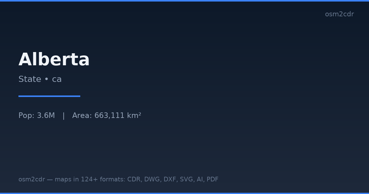
Map passport
Area663 111 km²
Buildings1 305 065
Roads277 774 km
Points of interest36 276
ProjectionWGS-84 (EPSG:4326)
LicenseODbL
Data sourceOpenStreetMap
TIFF 정보
TIFF is a lossless raster image format. Supports CMYK, 16-bit, and transparency for the print industry.
사용 사례
- Print industry
- archiving
- professional photography
- prepress
| 카테고리 | Raster |
| 파일 확장자 | .tif |
| 등급 | Free |
What's in the TIFF map of Alberta
1,305,065 buildings (455,815 residential, 10,524 commercial, 5,473 industrial, 558 religious), 277,774.2 km of roads, 36,276 points of interest, 15 landmarks.
Mostly unclassified roads 166,460.6 km, service roads 30,150.5 km, tertiary roads 22,976.3 km.
Among the objects: bench — 9,313, camp_pitch — 4,508, waste_basket — 3,516.
Main streets: Buffalo Trail, Veterans Memorial Highway, Northern Woods & Water Route, Highway 88, Highway 881
Landmarks: Jasper Planetarium, Earth Sciences Museum, Oyen Crossroads Museum, Fox Creek Museum, Galloway Station Museum
How to use TIFF for Alberta
- Select the Alberta map area on the main page
- Choose TIFF format and configure export settings
- Click Export and wait for processing
- Download the file and use in your application
Programs that open TIFF
Adobe PhotoshopGIMPAffinity PhotoIrfanViewXnView