خريطة Cape Verde
دولة · 516K · 63,597 km2
A ready-made vector map with buildings, roads and features — for CAD, GIS and print. Free, no registration.
بطاقة الخريطة
افتح منطقة Cape Verde في المُنشئ وغيّر الطبقات والنمط والصيغة ونظام الإحداثيات حسب مهمتك.
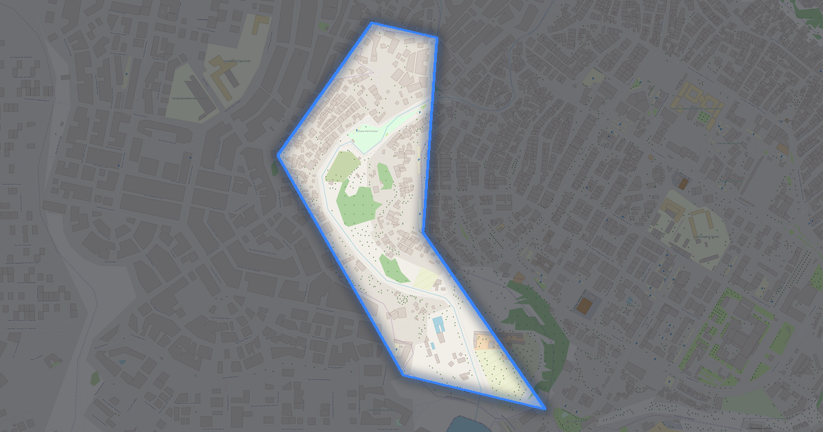
فتح في المُنشئالإعدادات الافتراضية للخريطة
هكذا تُبنى الخريطة افتراضيًا — يمكن تغيير كل معامل في المُنشئ.
نزّل خريطة Cape Verde في 134 صيغة
مجموعة بيانات OpenStreetMap نفسها — بالصيغة المناسبة لبرنامجك. اختر حسب المهمة: CAD أو متجه أو GIS أو 3D أو طباعة.
خرائط Cape Verde
كل الأماكن داخل المنطقة — كل خريطة جاهزة للتنزيل.
المناطق · 22


المدن الرئيسية · 100


الأماكن والأقاليم المجاورة
تصفّح المدن والمناطق والأقاليم المجاورة — لكلٍّ خريطة متجهية جاهزة بالصيغ نفسها.

عن Cape Verde
Cape Verde هي خريطة متجهية جاهزة مبنية على بيانات OpenStreetMap. ليست صورة بل طبقات منظّمة من المباني والطرق والمسطحات المائية والمساحات الخضراء ونقاط الاهتمام، يمكن تحريرها في أي برنامج احترافي. تغطي منطقة الخريطة مساحة 63,597 km2 ضمن الحدود الإدارية.
تتضمن الخريطة 23 888 مبنى, 4 326 كم من الطرق والشوارع و 8 478 نقطة اهتمام. يمكن تشغيل أو إيقاف كل طبقة قبل التنزيل، وتحتفظ البيانات بتصنيف OpenStreetMap الأصلي. تغطي المساحات الخضراء نحو 0.5% من المنطقة.
تصلح الخريطة كطبقة أساس في AutoCAD و CorelDRAW، ولتحميل الطبقات في QGIS و ArcGIS، ولإعداد المخططات والخرائط المطبوعة، أو كأساس للتصميم والملاحة. تتوفر أكثر من 130 صيغة — من DWG و DXF و SVG إلى GeoJSON و Shapefile والنماذج ثلاثية الأبعاد، في نظام الإحداثيات WGS 84.
ما يتضمنه خريطة Cape Verde
تغطي الخريطة كامل مساحة Cape Verde ضمن الحدود الإدارية — 63,597 km2. تغطي المساحات الخضراء 0.5% من المنطقة. يمكن تشغيل أو إيقاف كل طبقة قبل التنزيل.
كيف تبدو خريطة Cape Verde
المكان نفسه بثلاثة أنماط رسم. المباني والطرق والمياه والمساحات الخضراء تنتقل إلى كل صيغة بلا فقدان.
البنية التحتية لـ Cape Verde
ما يوجد في المنطقة وفق بيانات OpenStreetMap.
الكثافة والتشبّع
عدد المعالم في الكيلومتر المربع الواحد — وفق بيانات OpenStreetMap.
كيف تُستخدم الخريطة
مجموعة البيانات نفسها لـ Cape Verde — لمهام مختلفة: من الرسم إلى الطباعة ثلاثية الأبعاد.
المعالم
متاحف ونصب وأماكن بارزة في Cape Verde وفق بيانات OpenStreetMap — لكلٍّ رابط على الخريطة.
الطبيعة والمساحات الخضراء
حدائق وساحات ومسطحات مائية في Cape Verde وفق بيانات OpenStreetMap — يُنقل كل ذلك إلى الخريطة كطبقات منفصلة.
النقل العام
المواقف والمحطات وفق بيانات OpenStreetMap.
يشمل النقل العام في Cape Verde 387 موقف حافلات. تُدرَج جميع المواقف والمحطات في الخريطة كطبقة منفصلة.
الشوارع والطرق
طرق مصنّفة حسب النوع — وفق بيانات OpenStreetMap.
شبكة شوارع Cape Verde — 4 326 كم من الطرق وفق بيانات OpenStreetMap، مصنّفة حسب النوع.
المطاعم والمقاهي
أماكن المأكولات والمشروبات وفق بيانات OpenStreetMap.
في Cape Verde، يسجّل OpenStreetMap 875 مكانًا للمأكولات والمشروبات — مطاعم ومقاهٍ وحانات ومنافذ وجبات سريعة.
المتاجر وتجارة التجزئة
تجارة التجزئة وفق بيانات OpenStreetMap.
في Cape Verde، يسجّل OpenStreetMap 835 متجرًا ومنفذ تجزئة. الفئات الرئيسية: بقالة, سوبرماركت, ملابس, مخبز, هدايا, حلاق.
التعليم
مدارس وجامعات ومكتبات وفق بيانات OpenStreetMap.
المدارس: Aldeia SOS, Aldeia SOS São Domingos, Cape Verde Multilingual Schools, Centro Educação Juvénil, Centro de emprego e formação profissional de Santa Cruz, Chã João Vaz, Chã de Manuel dos Santos, Ciclo Preparatório Porto Novo. الجامعات: Escola Jorge Barbosa ( Liceu Velho), Escola pPadre Cristiana Rodrigues, IEFP-VARIANTE, ISCEE, Instituto Superior de Engenharia e Ciências do Mar, Liceu Armando Napoleão Fernandes, Universidade Lusofona, Cape Verde Atmospheric Observatory. المكتبات: Arquivo Historico Nacional, Biblioteca, Biblioteca Municipal, Biblioteca Nacional de Cabo Verde, Biblioteca municipale.
الرعاية الصحية
مستشفيات وصيدليات وعيادات وفق بيانات OpenStreetMap.
مستشفيات Cape Verde: Centro Saúde, Centro de Saúde, Centro de Saúde Achada Grande Trás, Centro de Saúde da Boavista, Centro de Saúde de São Miguel, Centro de saude dos Mosteiros, Clinica Dentar, Clinica Reabil.
أماكن الإقامة
فنادق ونُزُل وبيوت ضيافة وفق بيانات OpenStreetMap.
ما يوجد على الخريطة
يمكن تشغيل أو إيقاف كل طبقة من خريطة Cape Verde قبل التنزيل.
الأرقام الرئيسية
ملخص يستند إلى بيانات OpenStreetMap لـ Cape Verde.
مقارنة بالجيران
كيف يقارن المكان بجيرانه في نطاق 30 كيلومترًا.
0 مكان ضمن نطاق 30 كم للمقارنة.