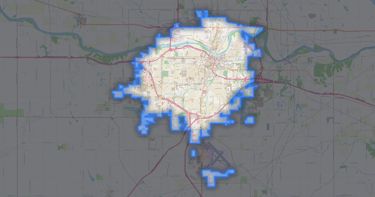
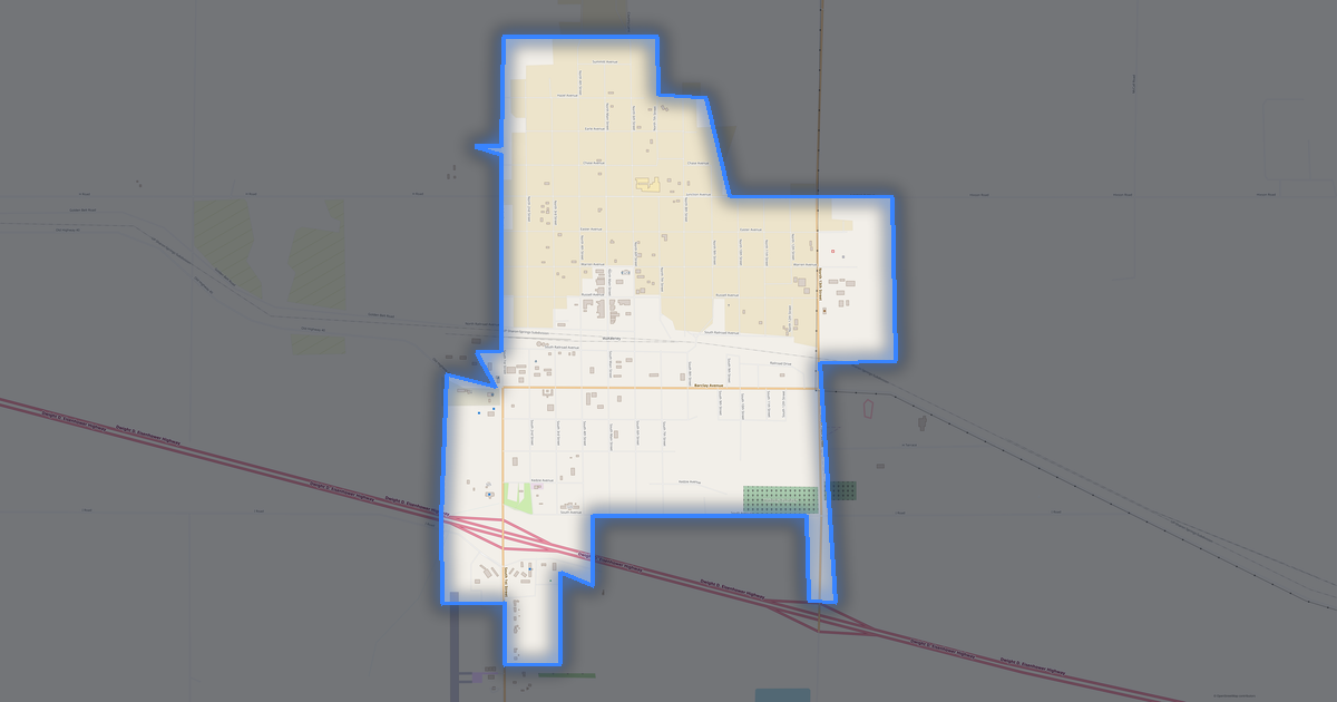
Mappa di Inman
Città · Kansas · 1K · 2 km2
A ready-made vector map with buildings, roads and features — for CAD, GIS and print. Free, no registration.
Scheda della mappa
Apri l'area di Inman nel costruttore e modifica livelli, stile, formato e sistema di coordinate in base alla tua attività.
Apri nel costruttoreImpostazioni predefinite della mappa
Ecco come viene costruita la mappa per impostazione predefinita — ogni parametro può essere modificato nel costruttore.
Scarica la mappa di Inman in 134 formati
Lo stesso set di dati OpenStreetMap — nel formato per il tuo software. Scegli in base all'attività: CAD, vettoriale, GIS, 3D o stampa.
Mappe di Kansas
Città e distretti vicini — ogni mappa è pronta per il download.


Luoghi e regioni vicine
Naviga verso città, distretti e regioni vicine — ognuno ha una mappa vettoriale pronta all'uso negli stessi formati.
Regioni di United States
Nelle vicinanze

Informazioni su Inman
Ritratto analitico: Inman Inman è una città spaziosa che si estende su 1.5 km², dove gli edifici si alternano a spazi aperti. Le aree verdi coprono solo il 1.3%: la città è fortemente urbanizzata. Punti di forza 58/100 Connettività Connettività media della rete stradale 55/100 Copertura verde Copertura verde moderata 36/100 Sicurezza L'infrastruttura di sicurezza necessita di miglioramenti Curiosità 🏗️ A Inman ci sono 0.04 edifici per abitante.
🌳 Ogni abitante di Inman dispone di 22 m² di spazio verde.
Cosa contiene la mappa di Inman
La mappa copre l'intero territorio di Inman entro i confini amministrativi — 2 km2. Le aree verdi occupano il 1.3% del territorio. Ogni livello può essere attivato o disattivato prima del download.
Come appare la mappa di Inman
Lo stesso luogo in tre stili di rendering. Edifici, strade, acqua e verde si trasferiscono in ogni formato senza perdite.
Valutazioni del luogo
Indici compositi dai dati di OpenStreetMap: quanto è comodo viverci, camminare, usare i mezzi pubblici e il verde.
Infrastrutture di Inman
Cosa c'è sul territorio secondo i dati di OpenStreetMap.
Densità e saturazione
Quanti oggetti ci sono per chilometro quadrato — secondo i dati di OpenStreetMap.
Come si usa la mappa
Lo stesso set di dati di Inman — per attività diverse: dal disegno alla stampa 3D.
Luoghi d'interesse
Musei, monumenti e luoghi rappresentativi di Inman secondo i dati di OpenStreetMap — ciascuno con un collegamento alla mappa.
Natura e aree verdi
Parchi, piazze e corpi idrici di Inman secondo i dati di OpenStreetMap — tutto viene trasferito nella mappa come livelli separati.
Vie e strade
Strade classificate per tipo — secondo i dati di OpenStreetMap.
La rete stradale di Inman — 28 km di strade secondo i dati di OpenStreetMap, classificate per tipo.
Ristoranti e caffè
Locali di cibo e bevande secondo i dati di OpenStreetMap.
A Inman, OpenStreetMap registra 1 locali di cibo e bevande — ristoranti, caffè, bar e fast food.
Negozi e commercio
Commercio secondo i dati di OpenStreetMap.
A Inman, OpenStreetMap registra 3 negozi e punti vendita. Categorie principali: Repair, Sewing, Wholesale.
Istruzione
Scuole, università e biblioteche secondo i dati di OpenStreetMap.
Scuole: Inman Elementary School, Inman High School.
Cosa c'è sulla mappa
Ogni livello della mappa di Inman può essere attivato o disattivato prima del download.
Cifre chiave
Un riepilogo basato sui dati di OpenStreetMap per Inman.
Confronto con i vicini
Come si confronta il luogo con i vicini entro un raggio di 30 chilometri.
23 luoghi entro un raggio di 30 km da confrontare.