
LaTeX/TikZ (Academic Map)
Open BetaFlyttu út kortagögn úr OpenStreetMap sem LaTeX/TikZ fyrir fræðiútgáfu. Búðu til vigurkort beint í LaTeX-skjölum með fullri stjórn á stílum, letri og merkingum.
OpenStreetMap data as of 24 August 2026 · 34 days ago
Helstu eiginleikar
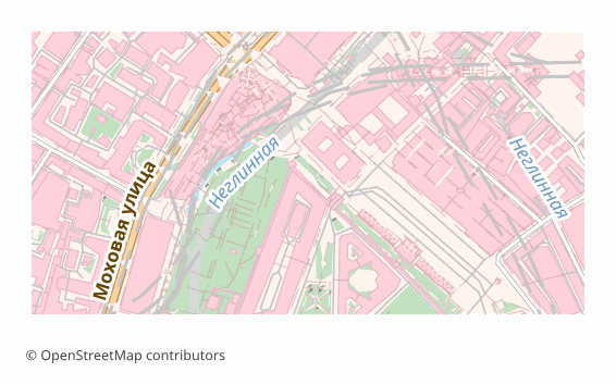
Um LaTeX/TikZ-sniðið
TikZ is a graphics language inside LaTeX: a drawing is described by commands right in the source, and the compiler turns them into vector graphics while building the document. For academic work that is convenient because the map lives inside the text rather than as a separate picture: the fonts are the same as in the article, the sizes do not drift, and an edit takes a second.
The export is needed when a map goes into an article, a dissertation or a poster: the journal demands vector, the reviewer asks to change a caption, and the figure has to be built together with the text. The resulting .tex is edited by hand — line widths, colors, label positions.
The file is a self-contained document of the standalone class with a single tikz package. Layer colors are declared through \definecolor, the geometry is written out as drawing commands onto a 15 × 10 cm canvas, and a scale bar with a caption in meters or kilometers is drawn in the lower left corner. Object labels are added as \node elements, no more than two hundred of them, so the document stays compilable.
For Cyrillic, inputenc with UTF-8 and fontenc with the T2A encoding are included; the most reliable way is to build the file with XeLaTeX or LuaLaTeX — they work with Unicode directly.
Hvaða forrit opnar LaTeX/TikZ-skrár
Eftirfarandi forrit geta opnað, breytt og unnið með LaTeX/TikZ (Academic Map) (.tex) skrár sem fluttar eru út úr OSM2CDR:
Format specifications
- Open standard
- 2D only
- Lossless (no quality loss)
- No attributes
- Output: 1 file
- LaTeX TikZ source (.tex). Embed maps directly in scientific papers; compiles with pdflatex into print-quality vector PDF.
Hverjir nota LaTeX/TikZ-kort
Hvernig á að flytja út LaTeX/TikZ
Hvernig á að opna eftir útflutning
- Overleaf — create a project, upload the .tex and press Recompile; the tikz package is already there, and the compiler in the project settings is better switched to XeLaTeX or LuaLaTeX.
- TeXstudio, TeXShop, VS Code with LaTeX Workshop — open the file and build it locally; in full TeX Live and MiKTeX installations nothing extra has to be installed.
- Inserting into your own article — copy the block between \begin{tikzpicture} and \end{tikzpicture} into a figure environment, and move the \definecolor lines into the document preamble.
- Changing the look — colors are changed in \definecolor, line thickness in the line width parameter, and an unwanted layer is removed by deleting its block of commands.
- A PDF for the journal — the built standalone gives a PDF exactly the size of the figure, with no page margins; such a file is accepted as a vector illustration.
Vinsæl kort í LaTeX/TikZ
Fáðu kortaútflutning í LaTeX/TikZ (Academic Map)
Sæktu fagleg LaTeX/TikZ-kort úr OpenStreetMap. Tafarlaus kortagerð, hvaða svæði sem er.
Algengar spurningar
What people who already downloaded say
Reviews are quoted in the language their authors wrote them in.
Наконец-то карты можно скачать в векторе. Автору спасибо!
всё очень круто, не ожидал что просто приду и скачаю кусочек карты! спасибо!!!
ОГРОМНОЕ СПАСИБО!!! ОЧЕНЬ ХОРОШАЯ ПРОГРАММА!!! Искал карту в векторе на стыке 3 стран - очень помогло!!
Ты - молодец! Сделал большое и нужное дело!
Иван, спасибо огромное! Не просто человек - Человечище!
иван, вы просто чудо. Спасибо за неимоверно крутой сервис
Относительно быстро и качественно собирает карты, самое приятно что бесплатно. удобно выбирать области