
LaTeX/TikZ (Academic Map)
Price before paymentOpenStreetMap মানচিত্রের ডেটা একাডেমিক প্রকাশনার জন্য LaTeX/TikZ হিসেবে রপ্তানি করুন। স্টাইল, ফন্ট ও লেবেলের পূর্ণ নিয়ন্ত্রণসহ LaTeX নথিতে সরাসরি ভেক্টর মানচিত্র তৈরি করুন।
OpenStreetMap data as of 26 October 2026 · 27 days ago
মূল বৈশিষ্ট্য
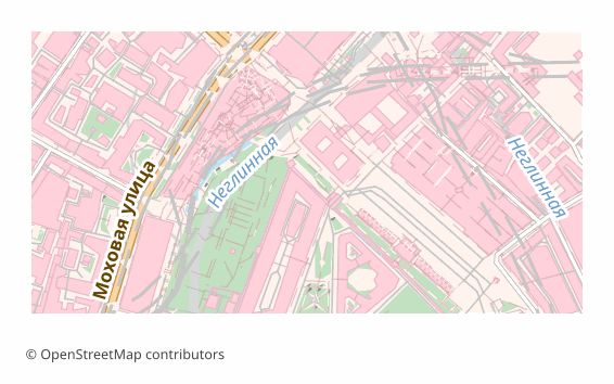
LaTeX/TikZ ফরম্যাট সম্পর্কে
TikZ is a graphics language inside LaTeX: a drawing is described by commands right in the source, and the compiler turns them into vector graphics while building the document. For academic work that is convenient because the map lives inside the text rather than as a separate picture: the fonts are the same as in the article, the sizes do not drift, and an edit takes a second.
The export is needed when a map goes into an article, a dissertation or a poster: the journal demands vector, the reviewer asks to change a caption, and the figure has to be built together with the text. The resulting .tex is edited by hand — line widths, colors, label positions.
The file is a self-contained document of the standalone class with a single tikz package. Layer colors are declared through \definecolor, the geometry is written out as drawing commands onto a 15 × 10 cm canvas, and a scale bar with a caption in meters or kilometers is drawn in the lower left corner. Object labels are added as \node elements, no more than two hundred of them, so the document stays compilable.
For Cyrillic, inputenc with UTF-8 and fontenc with the T2A encoding are included; the most reliable way is to build the file with XeLaTeX or LuaLaTeX — they work with Unicode directly.
কোন প্রোগ্রাম LaTeX/TikZ ফাইল খোলে
নিম্নলিখিত প্রোগ্রাম ও অ্যাপ্লিকেশনগুলি OSM2CDR থেকে এক্সপোর্ট করা LaTeX/TikZ (Academic Map) (.tex) ফাইল খুলতে, সম্পাদনা করতে ও এর সাথে কাজ করতে পারে:
Format specifications
- Open standard
- 2D only
- Lossless (no quality loss)
- No attributes
- Output: 1 file
- LaTeX TikZ source (.tex). Embed maps directly in scientific papers; compiles with pdflatex into print-quality vector PDF.
কারা LaTeX/TikZ মানচিত্র ব্যবহার করেন
কীভাবে LaTeX/TikZ এক্সপোর্ট করবেন
এক্সপোর্টের পর কীভাবে খুলবেন
- Overleaf — create a project, upload the .tex and press Recompile; the tikz package is already there, and the compiler in the project settings is better switched to XeLaTeX or LuaLaTeX.
- TeXstudio, TeXShop, VS Code with LaTeX Workshop — open the file and build it locally; in full TeX Live and MiKTeX installations nothing extra has to be installed.
- Inserting into your own article — copy the block between \begin{tikzpicture} and \end{tikzpicture} into a figure environment, and move the \definecolor lines into the document preamble.
- Changing the look — colors are changed in \definecolor, line thickness in the line width parameter, and an unwanted layer is removed by deleting its block of commands.
- A PDF for the journal — the built standalone gives a PDF exactly the size of the figure, with no page margins; such a file is accepted as a vector illustration.
LaTeX/TikZ (Academic Map) মানচিত্র এক্সপোর্ট পান
OpenStreetMap থেকে পেশাদার মানের LaTeX/TikZ মানচিত্র ডাউনলোড করুন। যেকোনো এলাকার জন্য তাৎক্ষণিক প্রস্তুতি।
প্রায়শই জিজ্ঞাসিত প্রশ্ন
What people who already downloaded say
Finally, maps can be downloaded as vectors. Thanks to the author!
Map: Ufa, AI
everything is really cool, I didn't expect I'd just come and download a piece of the map! thanks!!!
Map: Nizhny Novgorod, PMTiles
HUGE THANKS!!! A VERY GOOD PROGRAM!!! I was looking for a vector map where 3 countries meet - it helped a lot!!
Map: Kazakhstan and Altai, PDF
Well done! You've done a big and much-needed job!
Map: Roshchino, Leningrad Region, GeoTIFF
Ivan, thank you so much! Not just a man - a Great Man!
Map: Saratov Region, GeoJSON
ivan, you're simply a wonder. Thank you for an incredibly cool service
Map: Bogashevo near Tomsk, DXF